This article has a talk page!
This is a sub-page of Command & Conquer: Red Alert (DOS, Windows).
Map History Tracing#
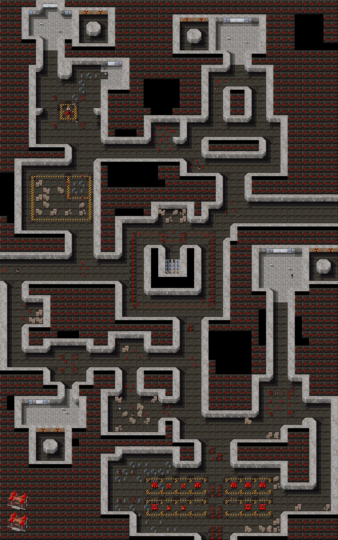
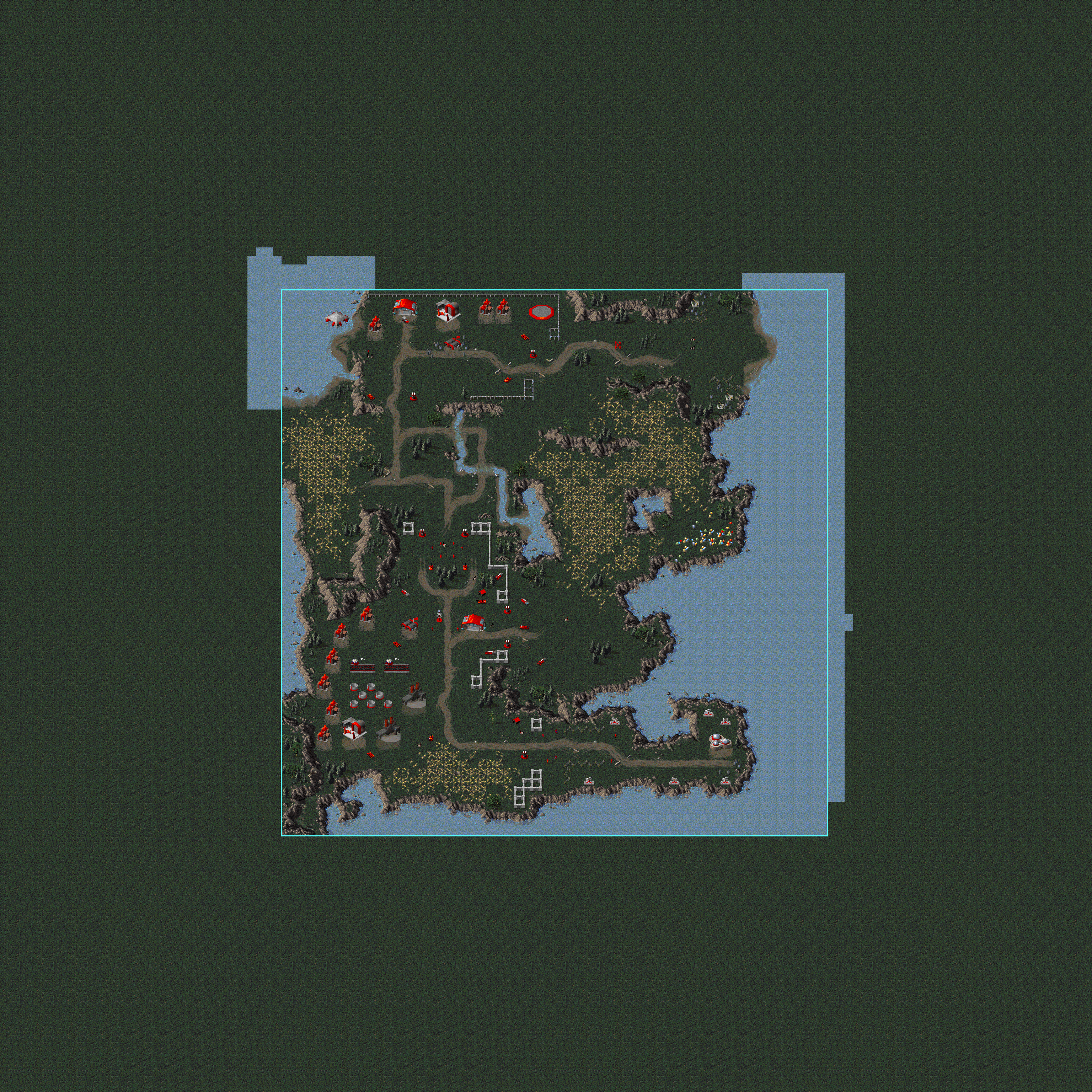
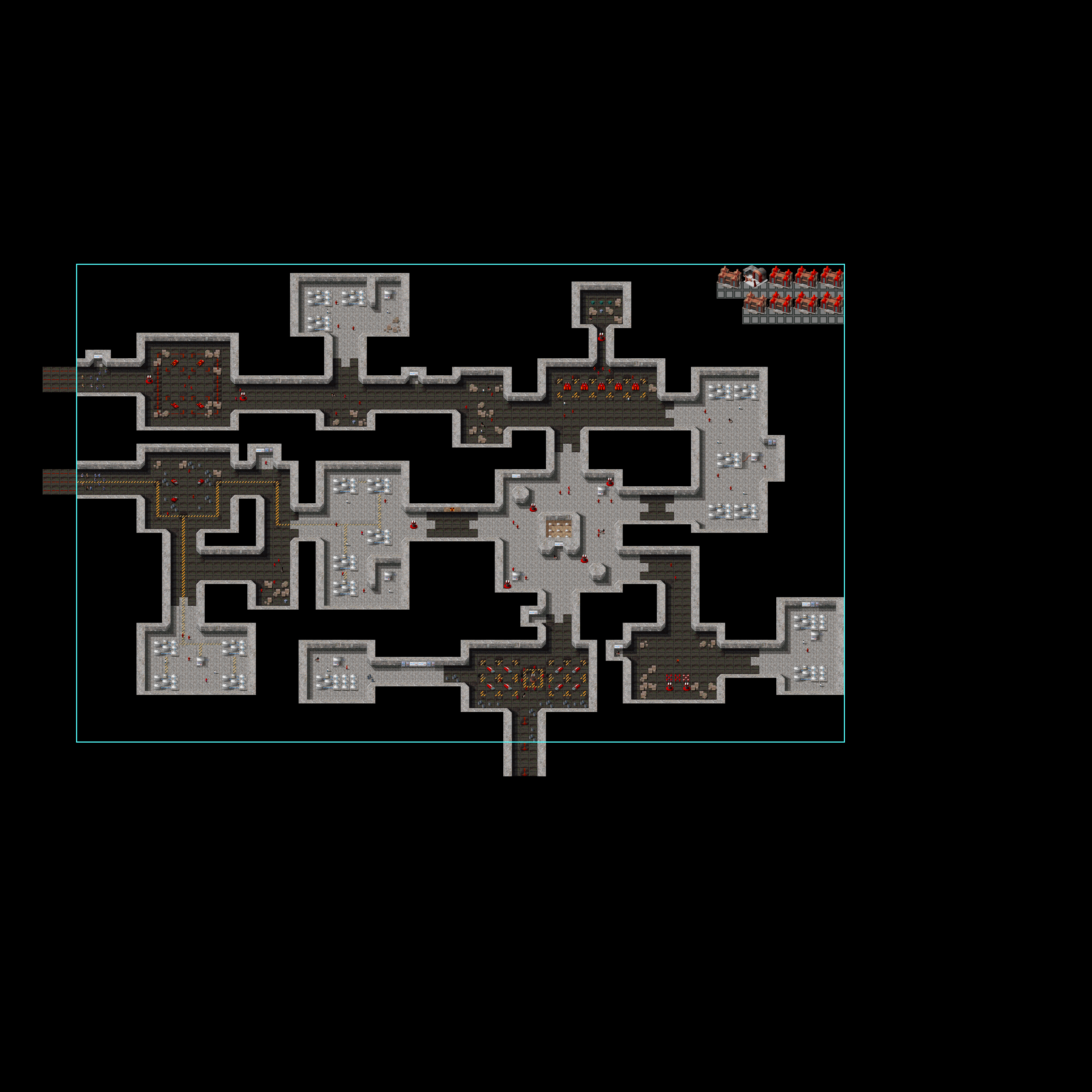
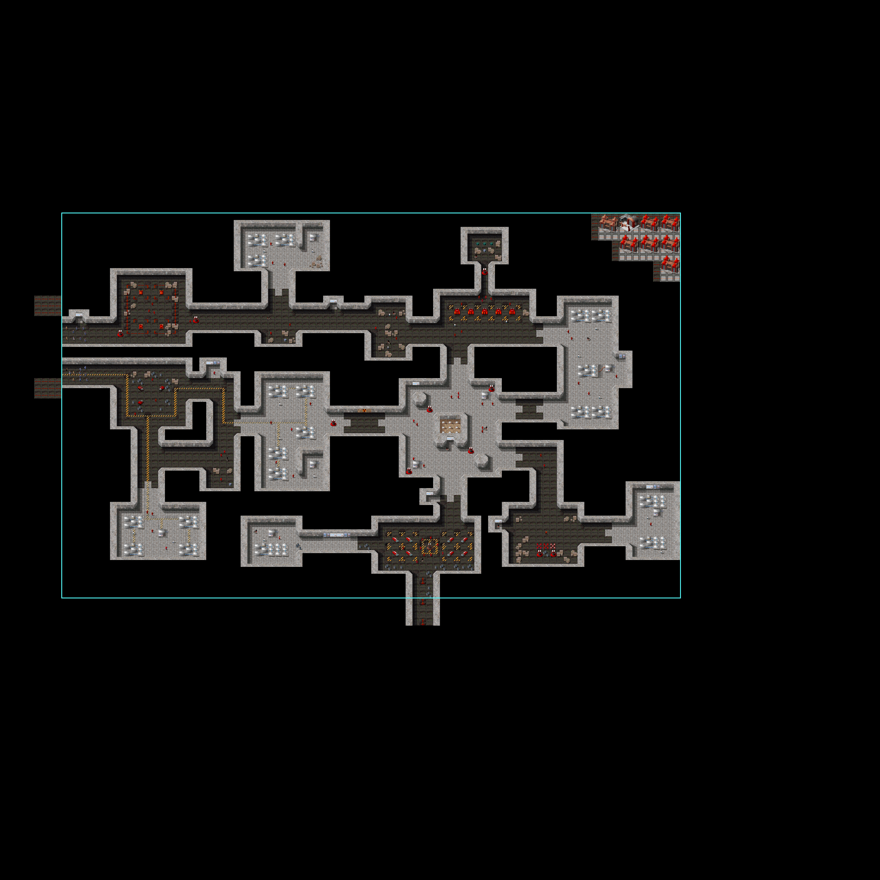
The use of the old clear terrain with tile id 255 (see Interior Theater ARRO0003 Tile) has some interesting side effects for tracing the history of the game's missions and maps. Not only can it be used to see which maps were made in the early stage of the game, since they will be using the old clear terrain, but it can also be used to see where edits were made on such maps in later game development stages, since such edits did not convert the entire map, but simply used the modern Clear terrain on the edited parts. On top of showing cleared areas, this method also seems to show places where walls were added or removed; this also seems to have converted any clear terrain underneath the walls. On Interior maps viewed in an editor that (unlike the game) correctly displays the ARRO0003 tileset, these changes are very obvious, since it will show ARRO0003 everywhere except on these more recently-edited parts. Here you see how in mission SCG10EB, "Evidence", four room-shaped areas, and a connection to the west edge of the map, were clearly removed in later edits:
SCG10EB |
|---|
 |
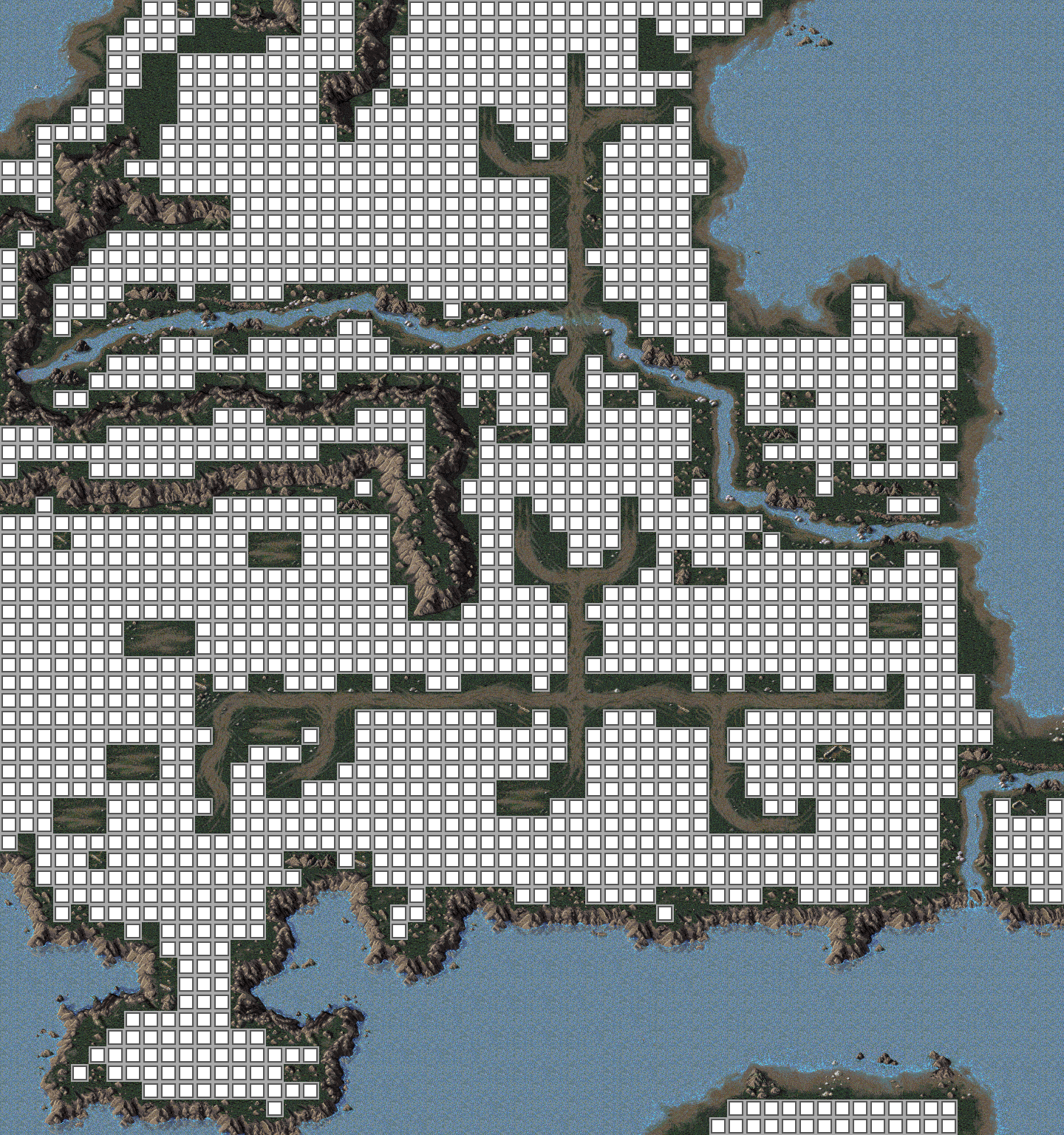
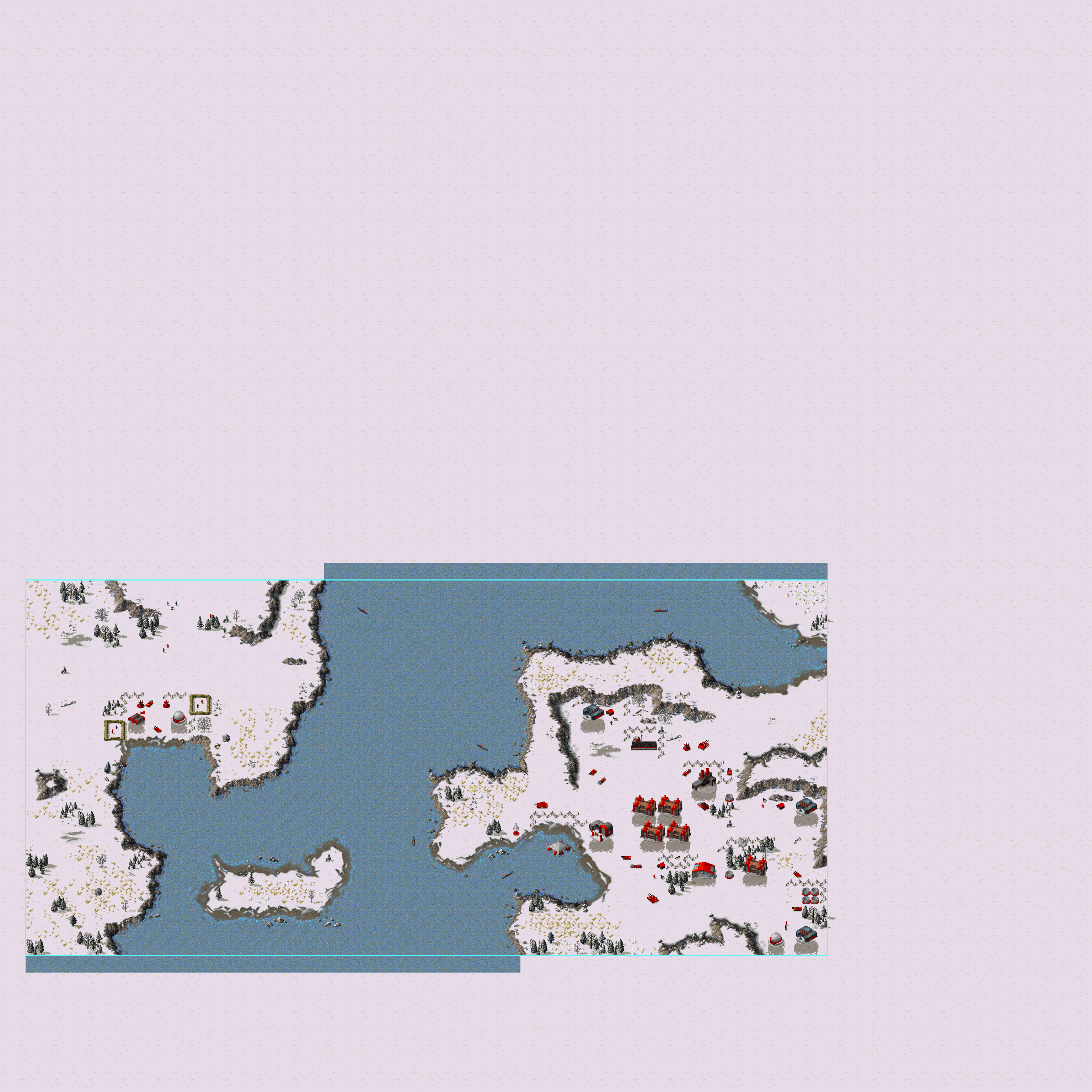
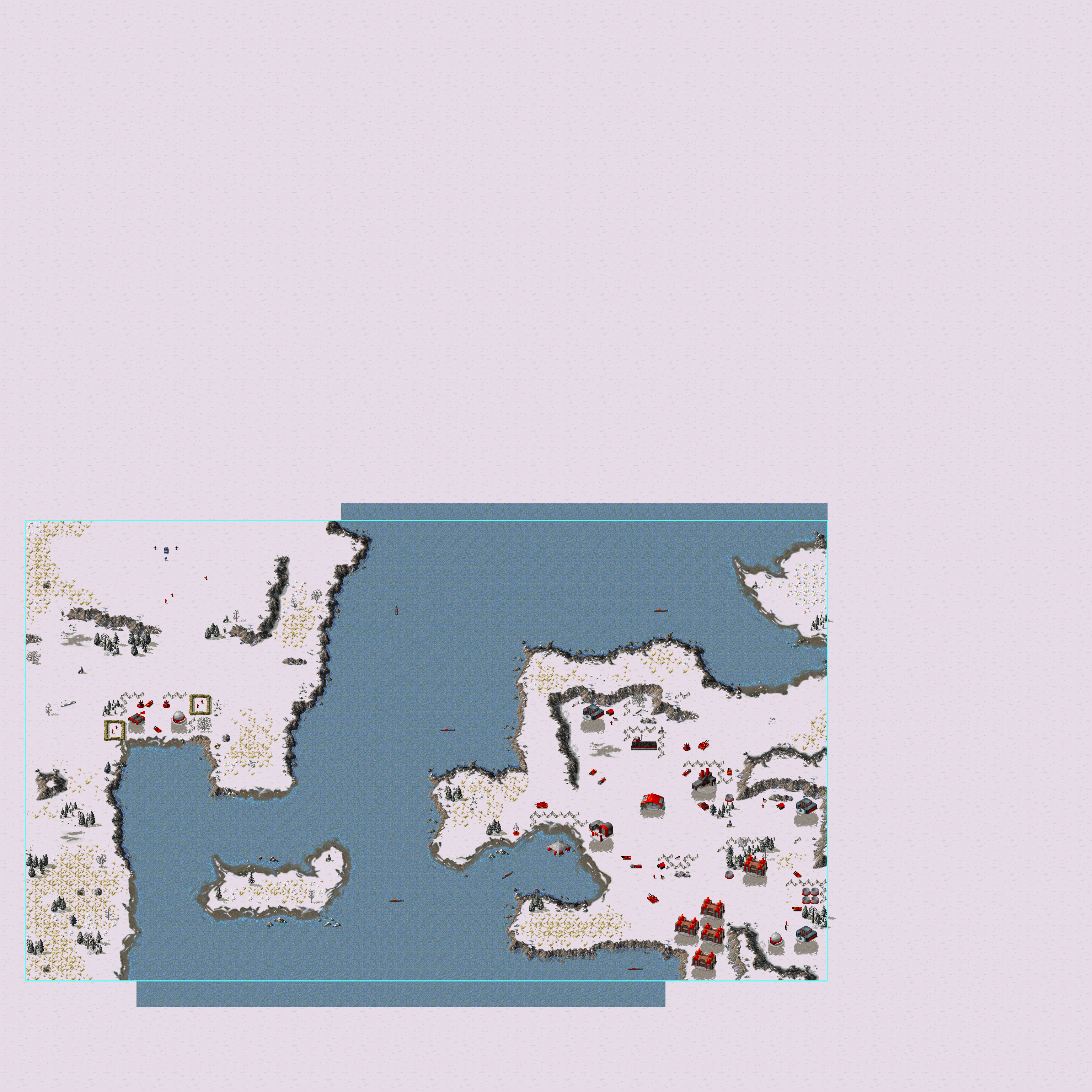
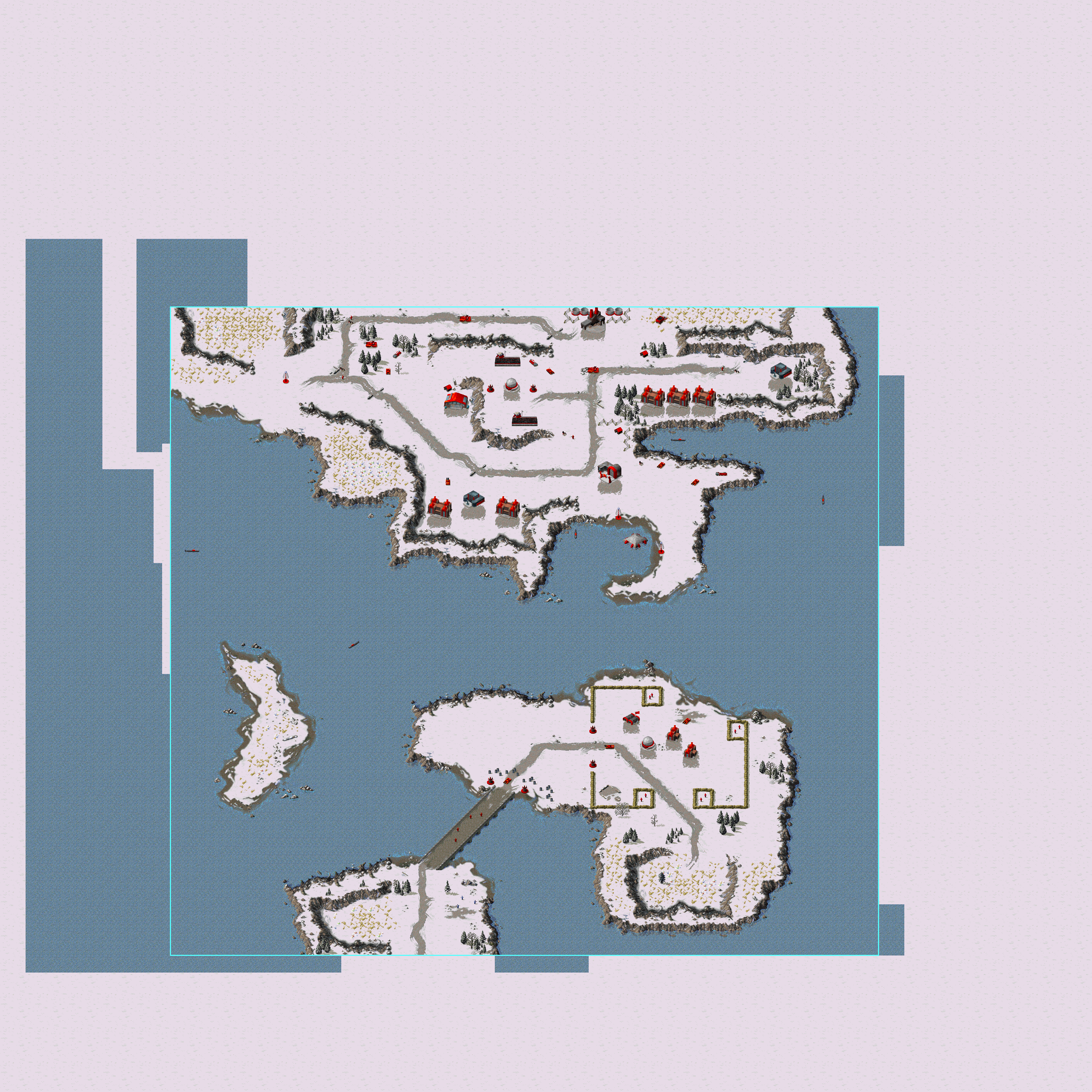
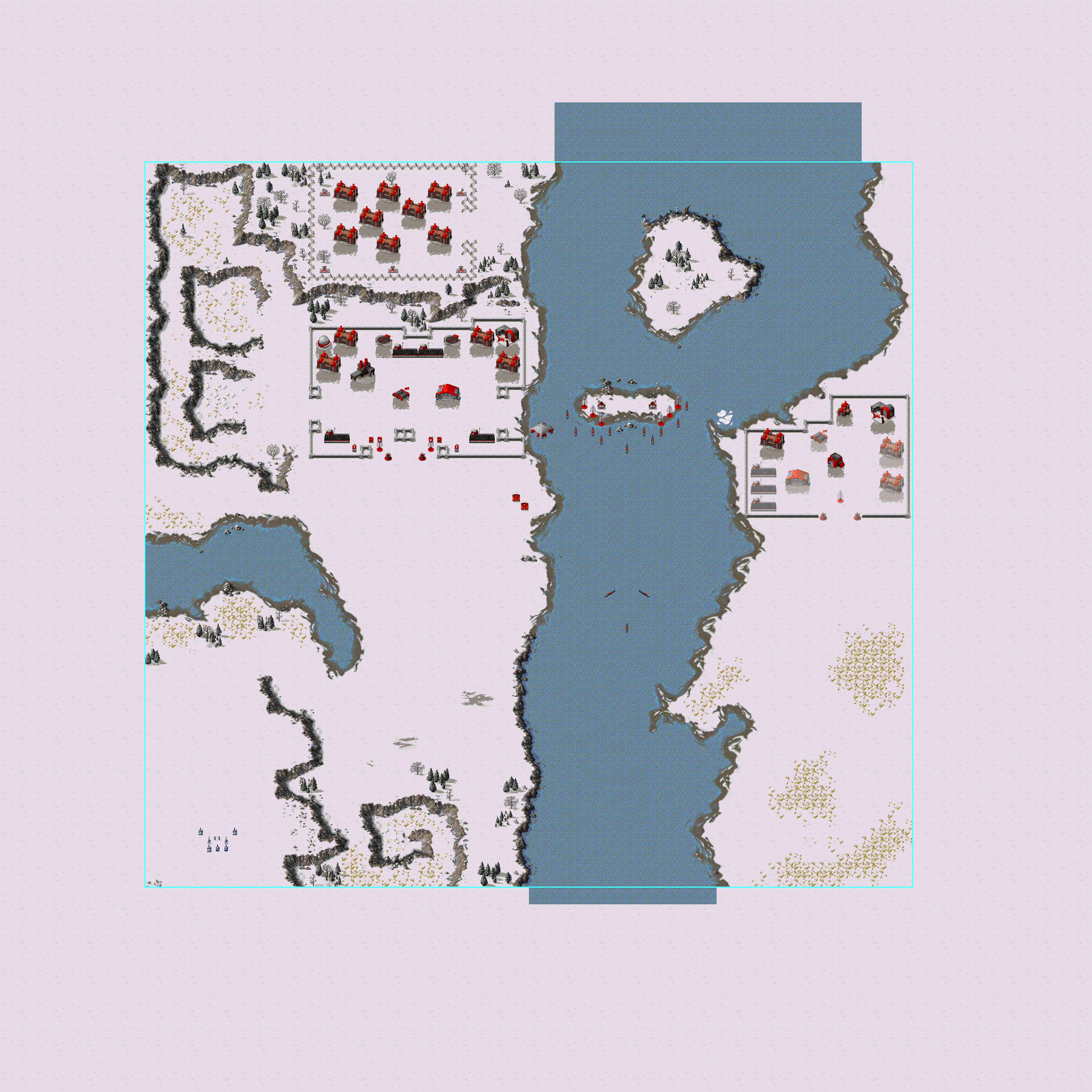
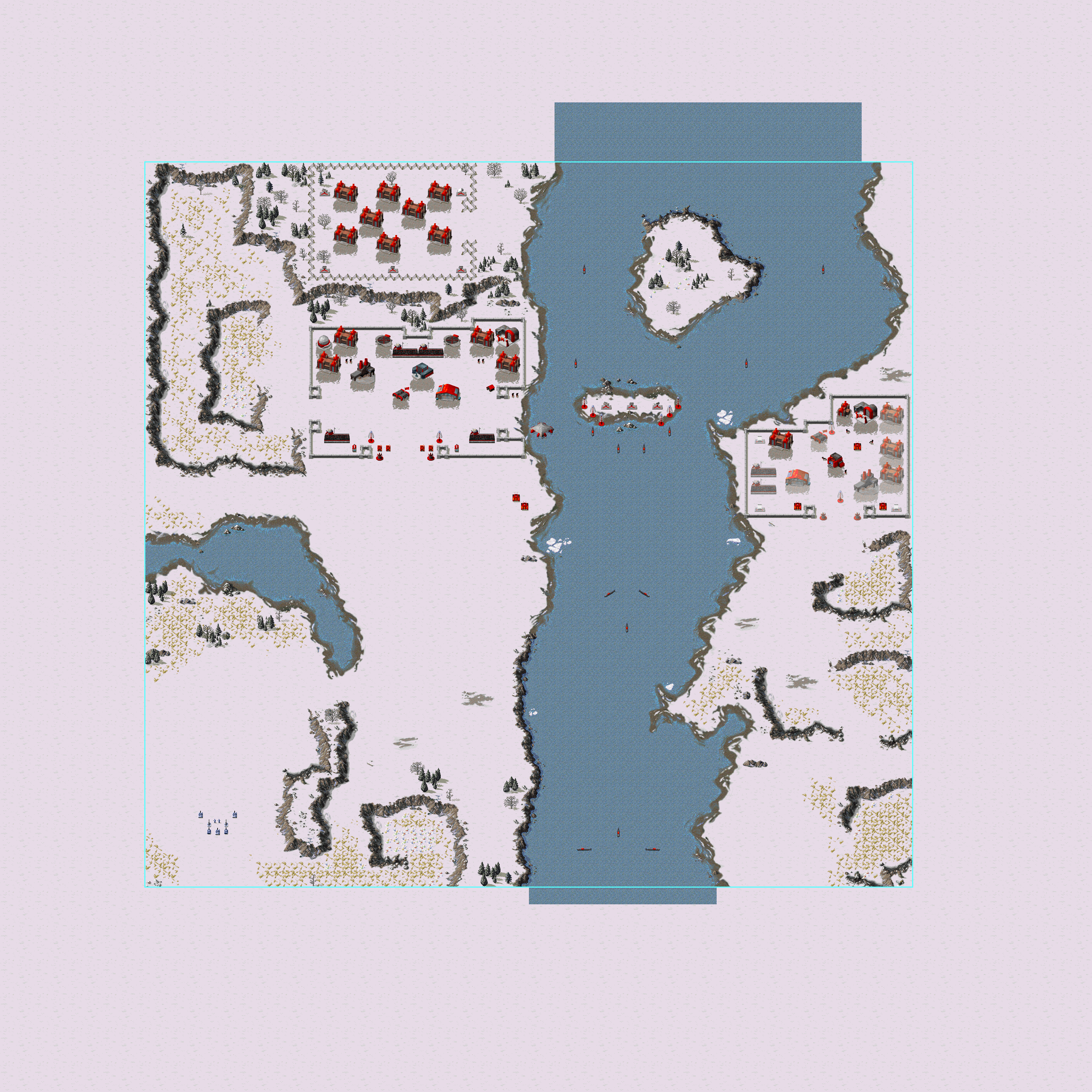
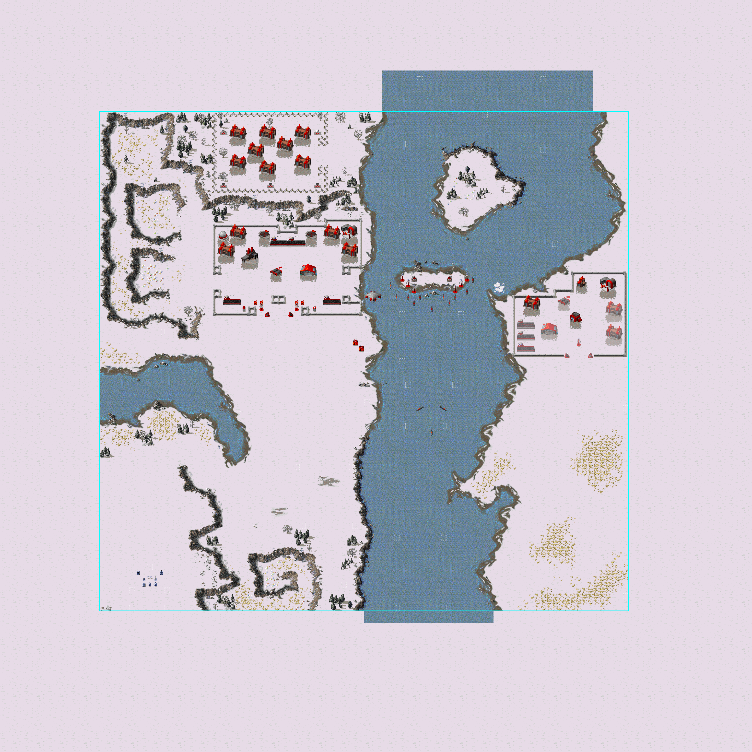
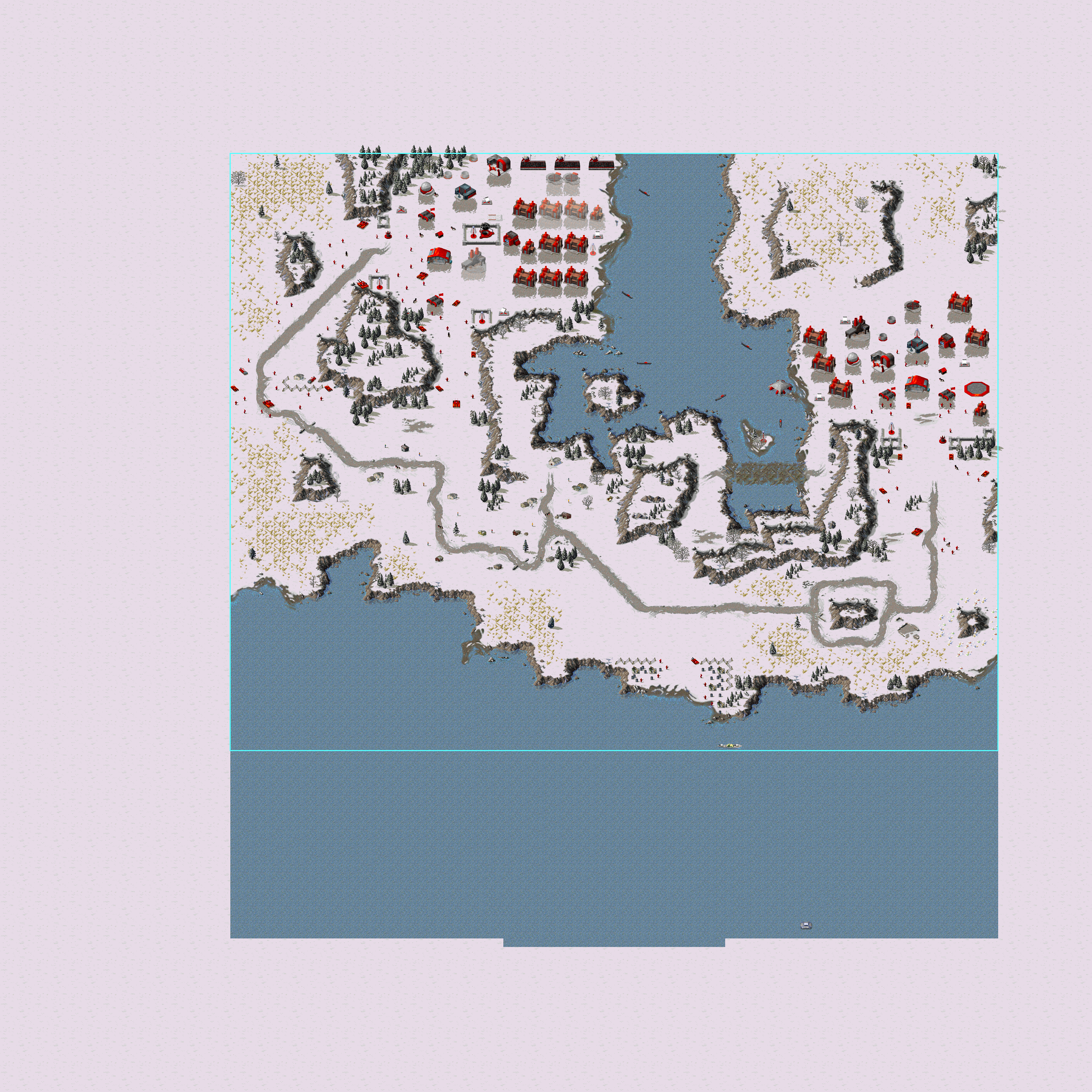
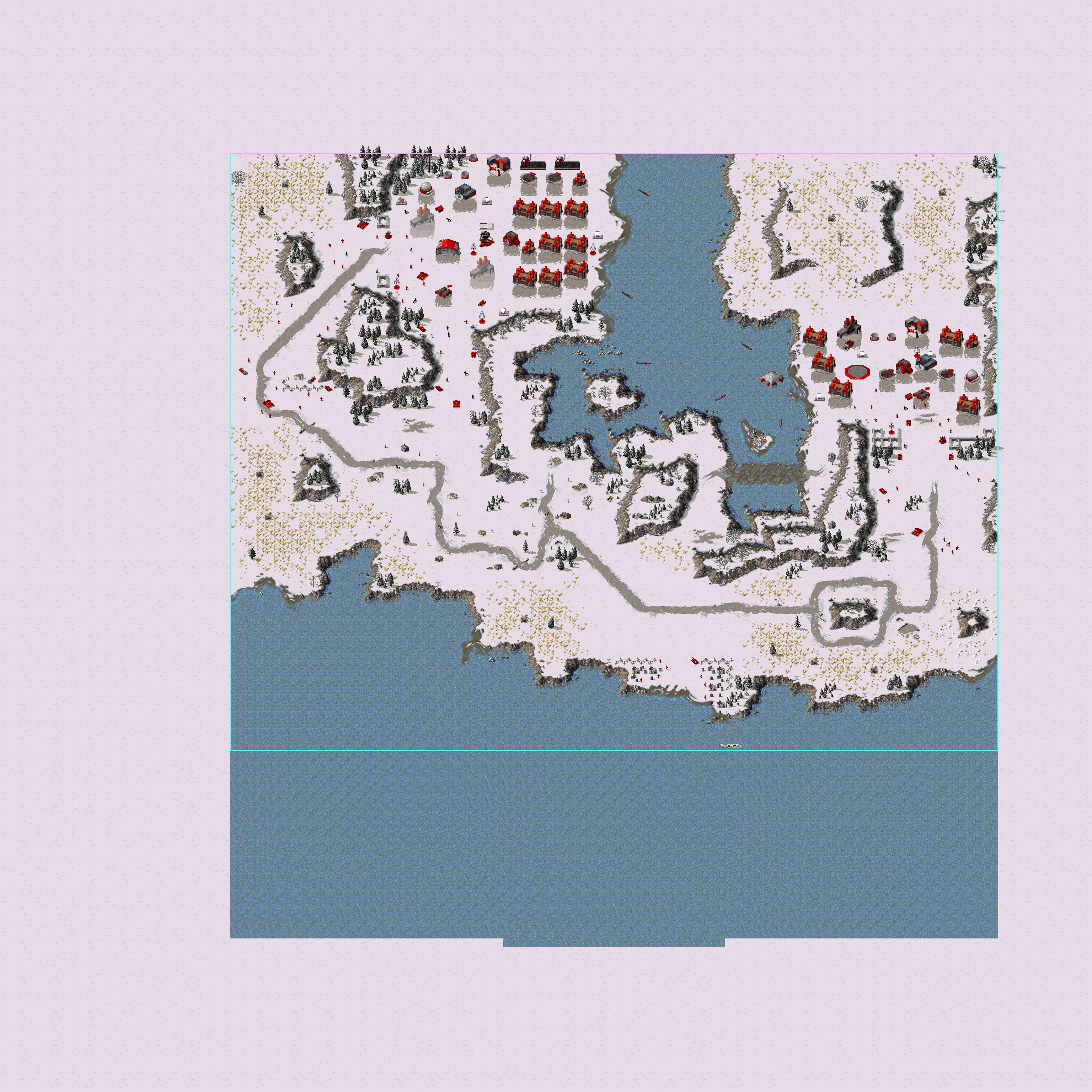
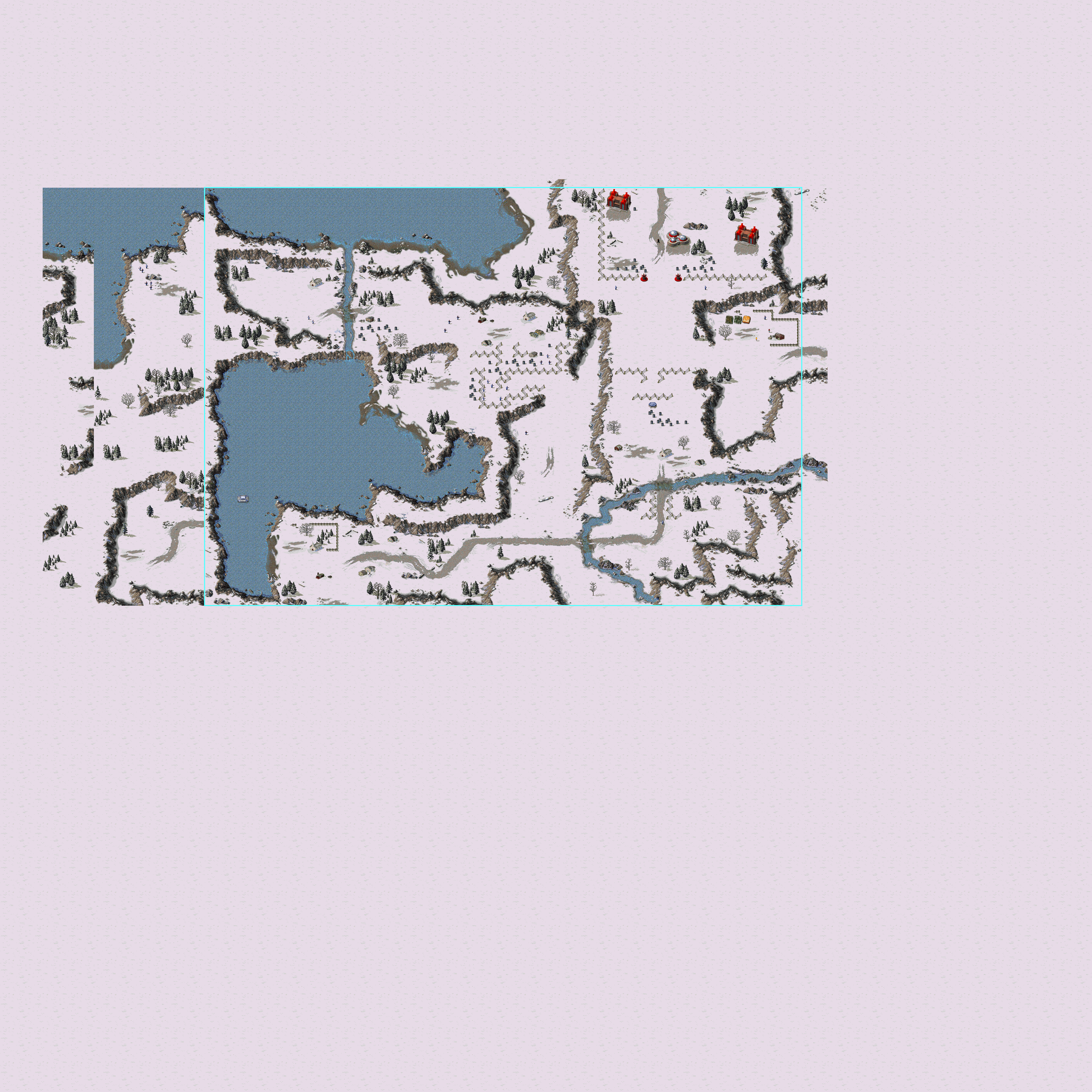
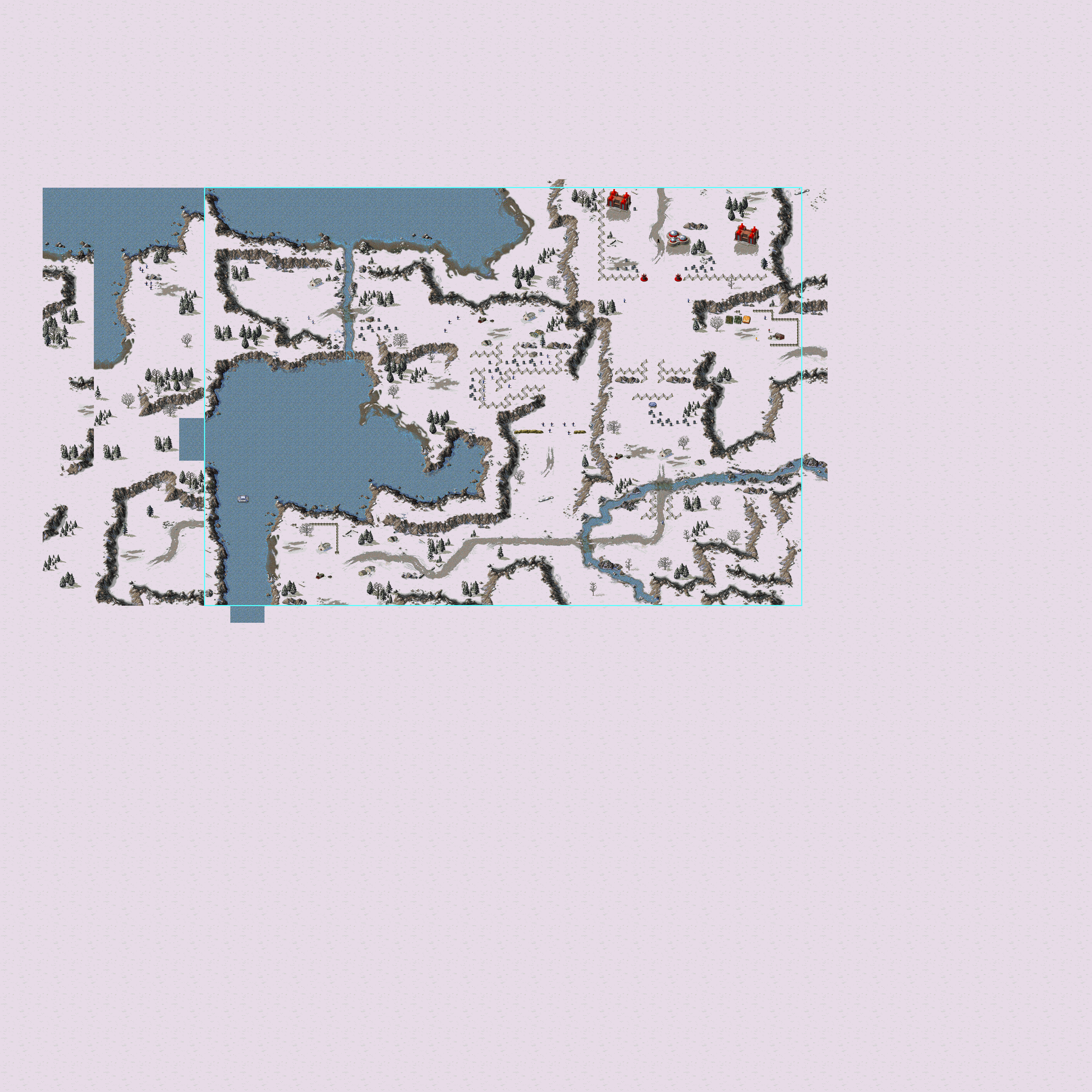
Because this quirk has been known for a long time, most map editors will automatically show ARRO0003 tiles on Temperate and Snow maps as Clear terrain. However, if this is not done, this same method can be used to detect edits on these maps. Here you see SCG05EA; the mission "Tanya's Tale", compared between the v0.09c version and the retail version, with the old Clear terrain cells marked in grey-bordered white:
SCG05EA - v0.09c |
SCG05EA - Retail |
SCG05EA - Edits |
|---|---|---|
 |
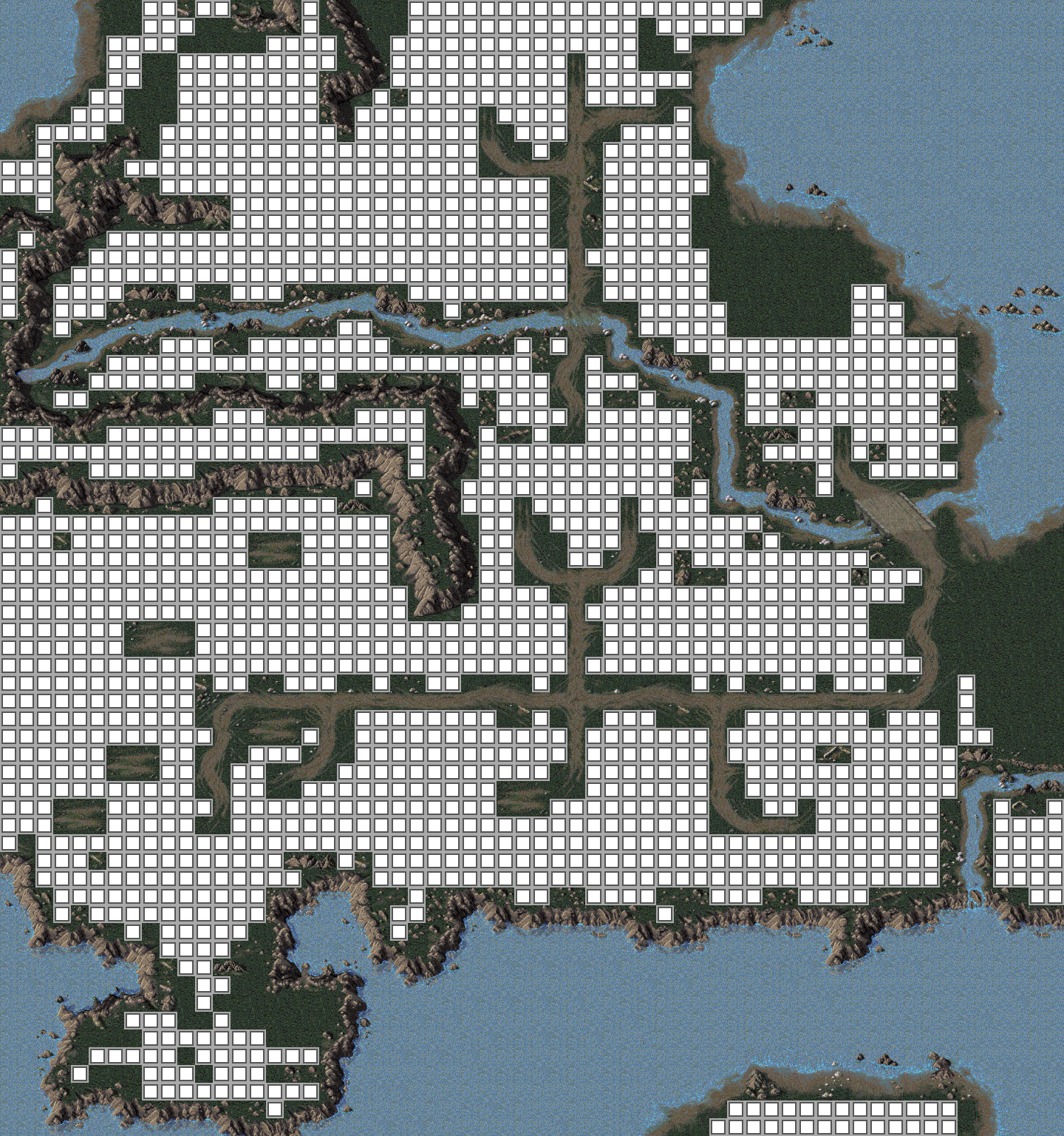 |
On the retail version of the map, two areas at the east side, and the north-east corner of the south-west peninsula, clearly stand out as being expanded with modern Clear terrain. And indeed, these areas are different on the beta map. However, since the beta already uses the new format, even older edits can be traced: even on the beta map, it can be seen that near the beach in the north-west corner, a cliff was opened up.
Here is a full overview of all maps on which edits could be detected or which were detected to predate the modern map format, and any terrain edits identified on these maps. The dark pink colour indicates where edits were made. Generally, this is modern clear terrain on maps mainly using the old clear terrain, but on one Aftermath multiplayer map, it is the mentioned W2 tile.
Allied Campaign#
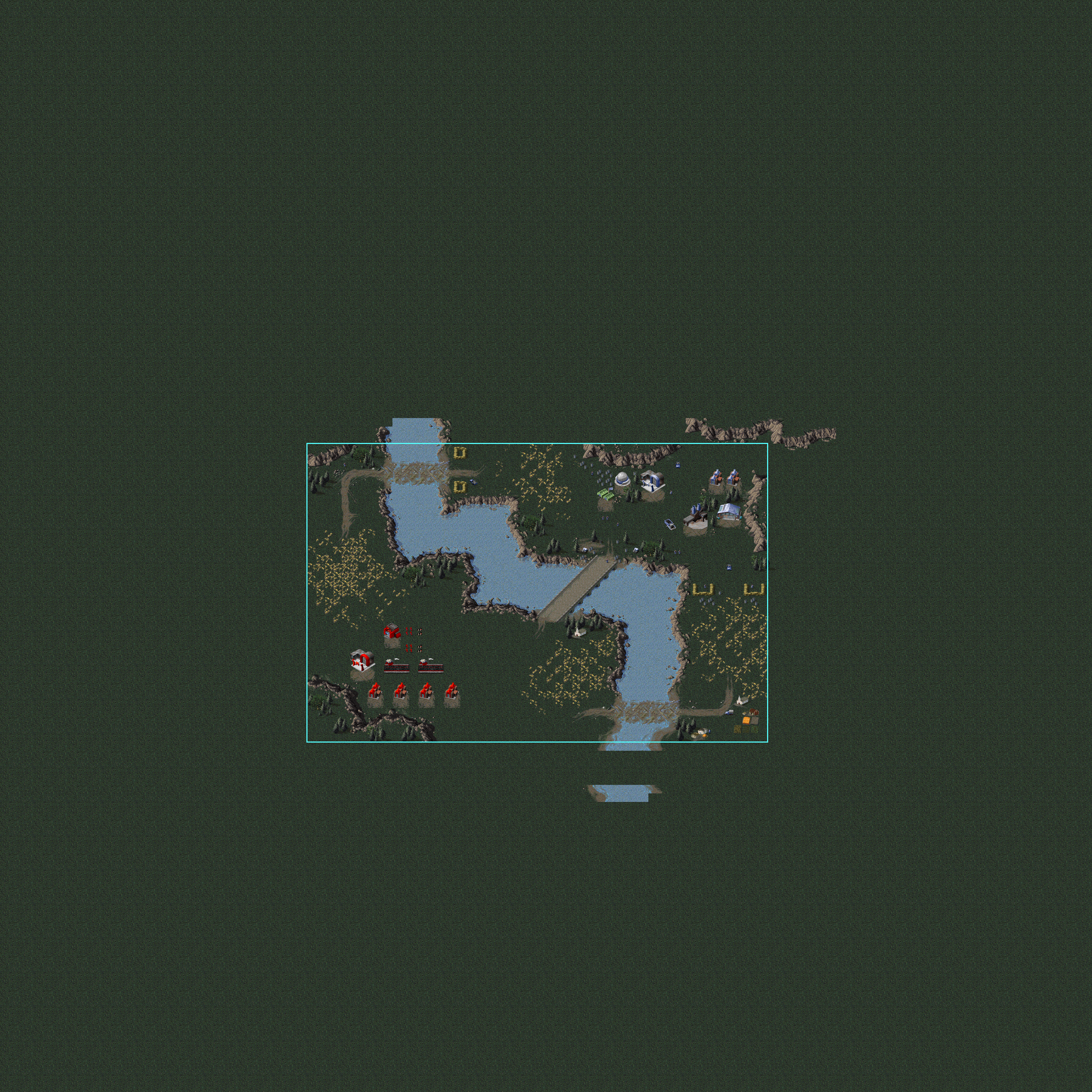
This lists all the maps in the Allied campaign using old Clear terrain. The maps SCG03EB, SCG05EB, SCG05EC, SCG08EB, SCG09EB, SCG11EB, SCG12EA, SCG13EA, and SCG14EA are all completely new.
Map |
Notable edits |
Visualised |
|---|---|---|
SCG01EA |
Cliff around the south-east power plants is opened up, and some small edits around the barrels and in the south-west corner. |
 |
SCG02EA |
Small edits outside the border, and around the barrels in the north-east. |
 |
SCG03EA |
Some edits around the ford north of the War Factory. The crossing might be newly added. A single leftover river cell at 7638 also shows there was a more diagonal river at that point. |
 |
SCG04EA |
In the center north of the map there are two fords with a waterfall in between. The cliff leading west from that waterfall seems to be shortened. |
 |
SCG05EA |
New areas were opened up at the north-east shore, where the shore touches the east edge of the map, and in the north-east corner of the south-west peninsula. A cliff going parallel with the shoreline in the north-west corner also appears to have been shortened. |
 |
SCG06EA |
Significant edits can be seen in the cliff south-west of the start position, and in the center of the main enemy base. The southern resources area of the enemy base was expanded, and the island full of resources seems to be completely new. |
 |
SCG06EB |
Appears to be completely new, but made on an older map which was copied and cleared. Only the area outside the map, and a little bit of the north, use the old terrain. |
 |
SCG07EA |
Minor edits on cliffs. Oddly, a rather large area south-west of the accessible map is cleared with the new clear terrain. |
 |
SCG08EA |
The south-west corner ore field seems to be completely new, and the island to the west also seems to be made up mostly of new clear terrain. The ore field north-east of the Allied base looks like cliffs were removed from it. It also looks like walls were added and removed, and this also cleared the terrain underneath. |
 |
SCG09EA |
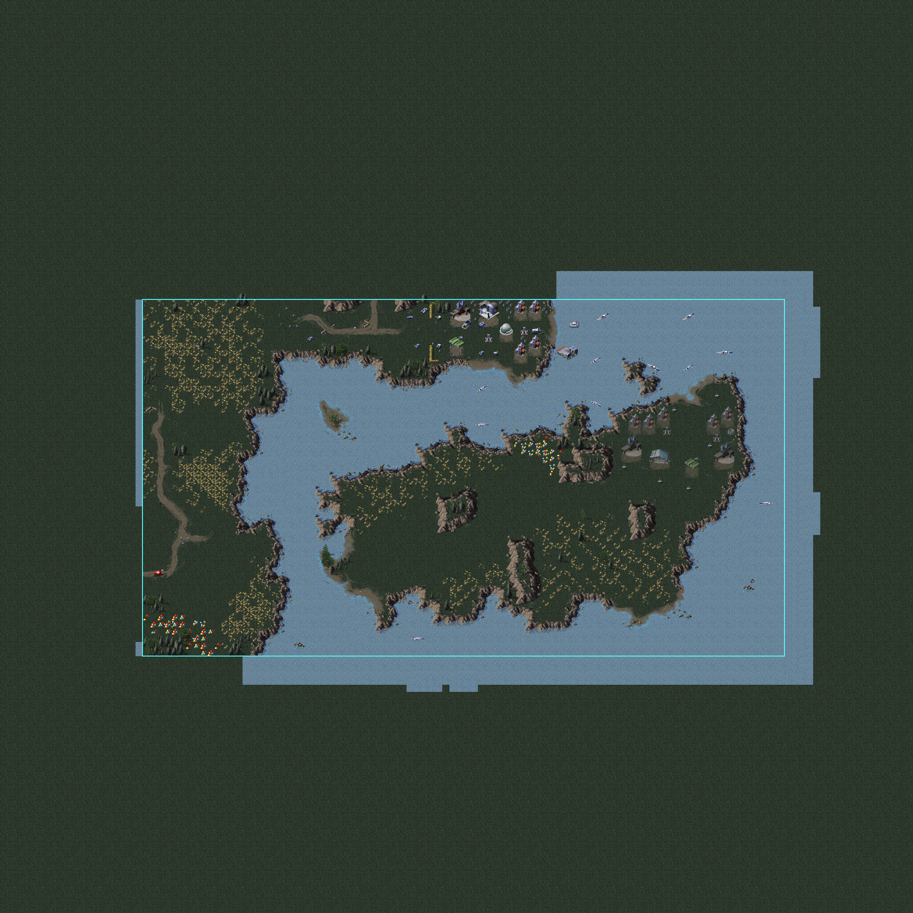
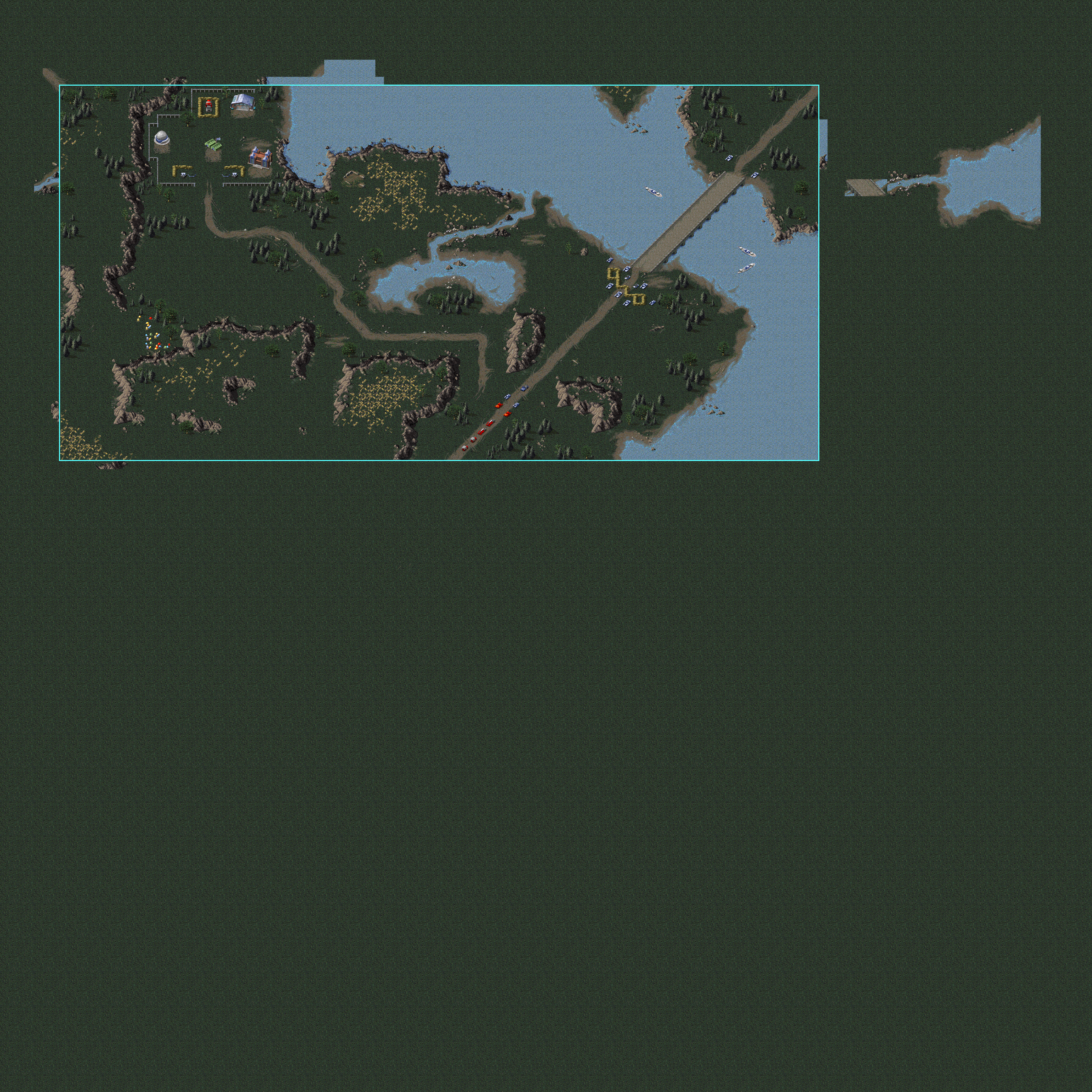
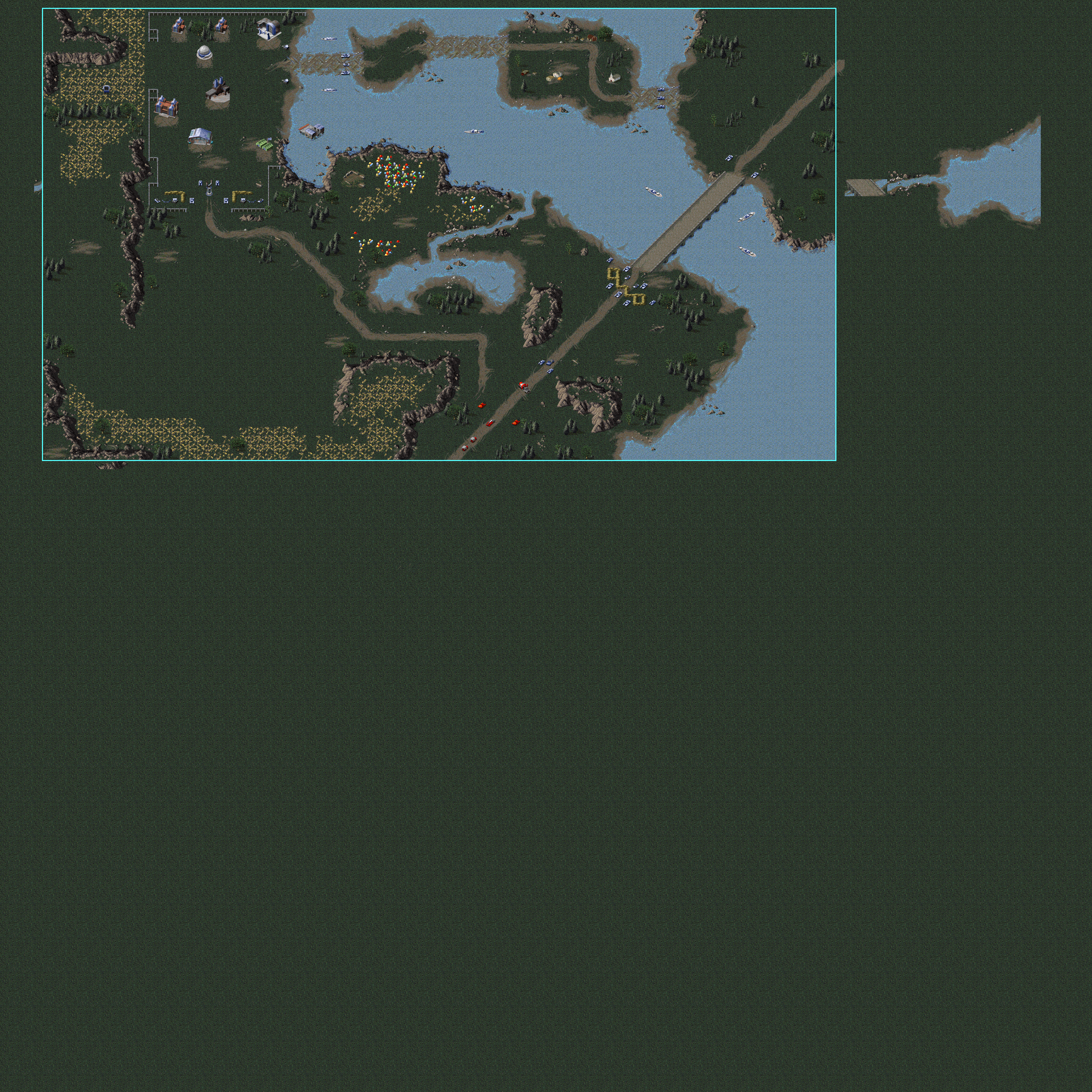
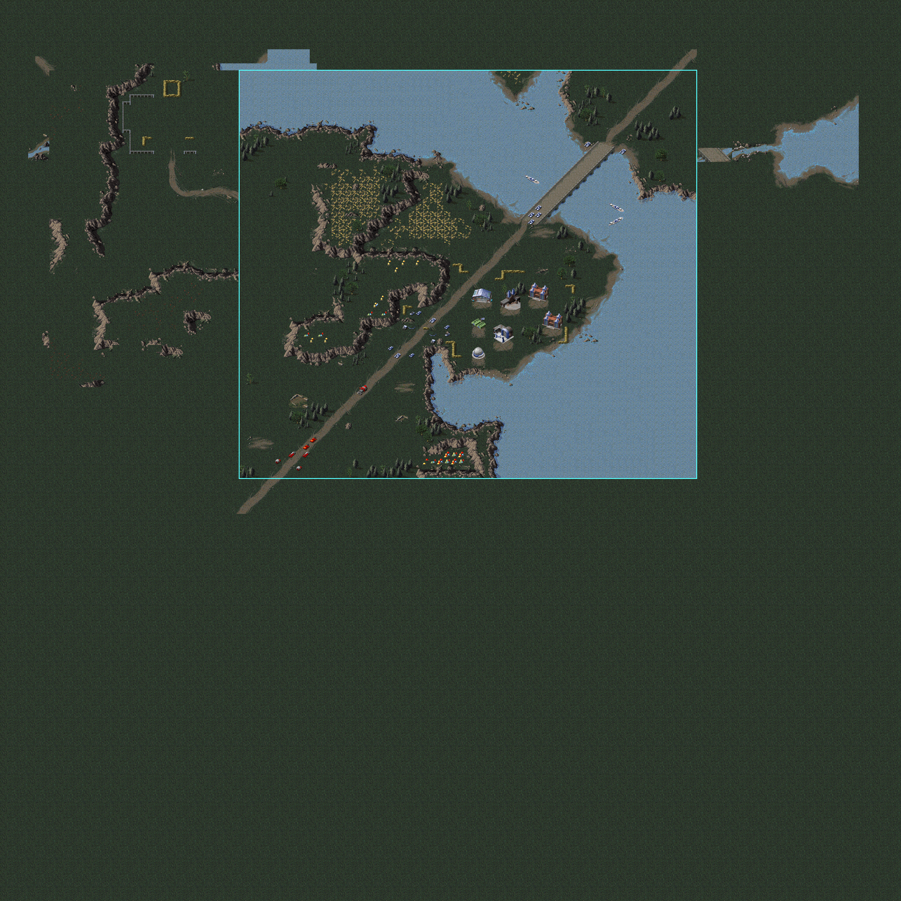
Significant edits to the south of the main southern island, as well as to area leading to the north-east bridge. From leftovers outside the accessible map, the whole map seems to have been 14 cells higher initially, but that change predates the conversion to the new Clear terrain. |
 |
SCG10EA |
Quite some edits appear to have been made to the cliffs in this mission. However, the most noticeable change is a huge silhouette of a removed area north of the accessible map. Given that this matches the ends of rivers and roads, it appears that the map was planned to be an 80×80 map (24 cells higher) with the Soviet base dead center. The 0.09c version of the map contains the entire undamaged top part. It was most likely cleared to reduce the size of the compressed [MapPack] data block in the final map file. |
 |
SCG10EB |
Three room-shaped areas connecting to the main complex, and a connection to the west edge of the map, were removed. A hole can also be seen in the north-east corner, possibly where more off-map power plants and/or a construction yard were placed. The elevator start position in the center also shows new clear tiles. |
 |
SCG11EA |
On the east side, most ore field areas appear to have been expanded. A vertical strip seems to indicate the removal of a road leading towards the Soviet base. On the west side, it seems cliffs were removed to give the player more space to establish a base. In the center, the most northern island was significantly expanded in size. |
 |
Soviet Campaign#
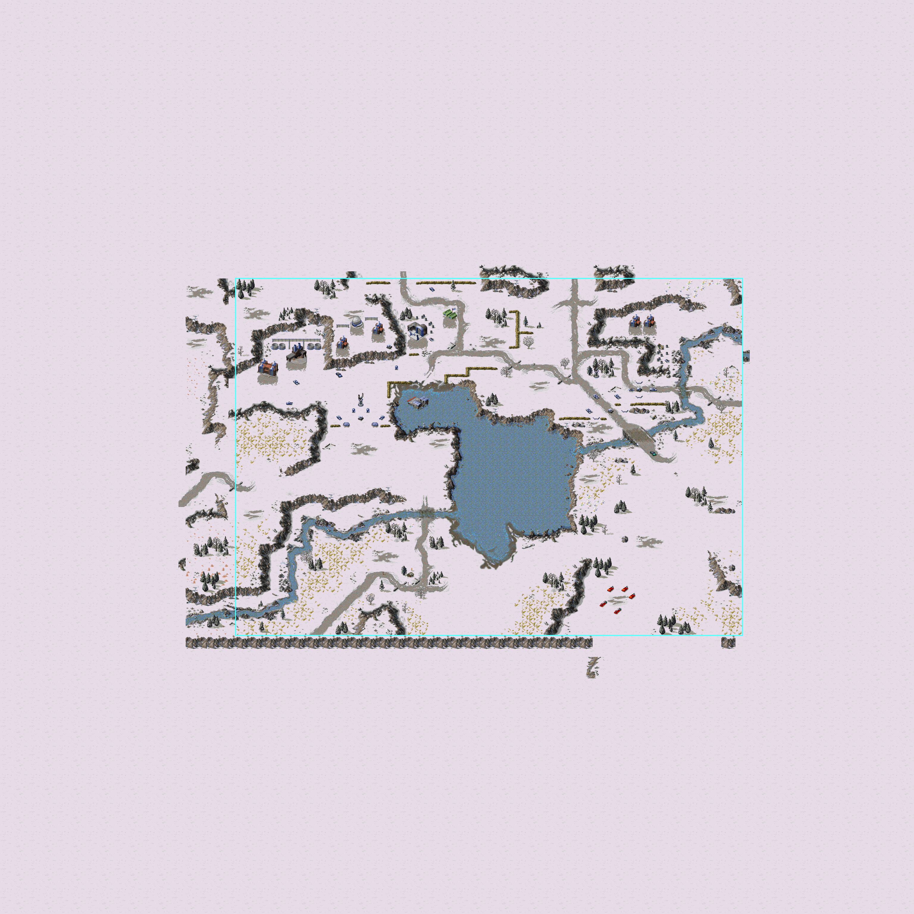
This lists all the maps in the Campaign campaign using old Clear terrain. The maps SCU04EB, SCU07EA, SCU08EB, SCU11EA, SCU11EB, SCU13EA, SCU13EB and SCU14EA are all completely new.
Map |
Notable edits |
Visualised |
|---|---|---|
SCU01EA |
Many edits both inside and outside the accessible bounds. The areas outside the map, and image material used in the briefing videos, seem to indicate the original map was most likely quite a bit larger; around 42x50. |
 |
SCU02EA |
The entire center of the map, and the shore south of the soviet base, seem to have been redone. Only the west and south-west parts remain untouched. |
 |
SCU03EA |
Edits can be seen to shores, cliffs and open areas all over the map. The area outside the accessible map seem to indicate the map went through many revisions, making it increasingly smaller; the full edited area is more than 20 cells wider than the final map. |
 |
SCU04EA |
This map went through significant edits, with the roads appearing to be the only remaining original features. This map was also looks like it went through several revisions that made it smaller, with the full area extending 8 cells to the north and 12 cells to the west. |
 |
SCU05EA |
This map was edited so much no distinguishing leftovers of the original remain, besides the road on the west side of the map. The map also seems to have gone through a few changes in size. |
 |
SCU06EA |
The most significant edits on this map are that the area where you are supposed to build your base was opened up, and the islands in the center north seem to be completely new. Besides that, to the east of the accessible area, the remains of a bridge can be found which has the footprint of the Tiberian Dawn version. |
 |
SCU06EB |
This is an edit of the original older version of the A map. It shows some of the features removed from the A map, and shows how the main bridge is still the same. Most of the edits visible on this map match the removal of elements on the A version. |
 |
SCU08EA |
Most of this map seems to be unedited since the conversion. The only significant edits are the western side of the starting area, and the north-east of the Allied base. |
 |
SCU09EA |
This map appears to have been larger, showing content 13 cells farther to the east. Significant edits were made to the western escape route, the cliff area south of the Soviet base, and the little peninsula in the north-east with German buildings guarding crates. |
 |
SCU10EA |
Some changes were made in the center south part, and at the inaccessible areas north and south of the canyon guarded by Gun Turrets. The map seems largely unmodified from its original design, though. |
 |
SCU12EA |
The starting area in the north-west seems to be completely redone. Besides that, an edit to the east side of the Chronosphere island seems to indicate they made space to add more Advanced Power Plants, and it can be seen that originally, there was an opening in the walls allowing direct access to the Chronosphere. |
 |
Multiplayer Maps#
This lists all multiplayer maps that either use old Clear terrain, or which have edits which could be detected in some other way.
Map |
Name |
Release |
Notable edits |
Visualised |
|---|---|---|---|---|
SCM01EA |
Coastal Influence (4-6) |
Red Alert |
Uses tile 255. Some edits on the center north and south shores, and the island in the center. |
 |
SCM04EA |
Marooned II (4-6) |
Red Alert |
Uses tile 255. No significant edits, but a cross of new clear terrain appears to have been drawn across the center axes. This might have been a line of walls temporarily added for visualising map symmetry. |
 |
SCM17EA |
No Escape (4-6) |
Red Alert |
Uses tile 255, without any edits. |
 |
SCM20EA |
Pond Skirmish (2-4) |
Red Alert |
Uses tile 255, without any edits. |
 |
SCM24EA |
Treasure Isle (4-6) |
Red Alert |
Uses tile 255, without any edits. |
 |
SCMK4EA |
Circles of Death (Mega 8p) [AM only] |
Aftermath |
Does not use tile 255, but this is an edit of the Counterstrike map "Bullseye (Lg)". All edits on the water are done with the W2 tile, while all original water only uses W1, making it easy to see the original boundaries, and where bridges and islands were removed. |
 |
SCMK7EA |
Death Valley (Mega 8 players) |
Aftermath |
Uses tile 255, with some slight edits. It is surprising to find a megamap in The Aftermath that predates a lot of the game's missions. |
 |
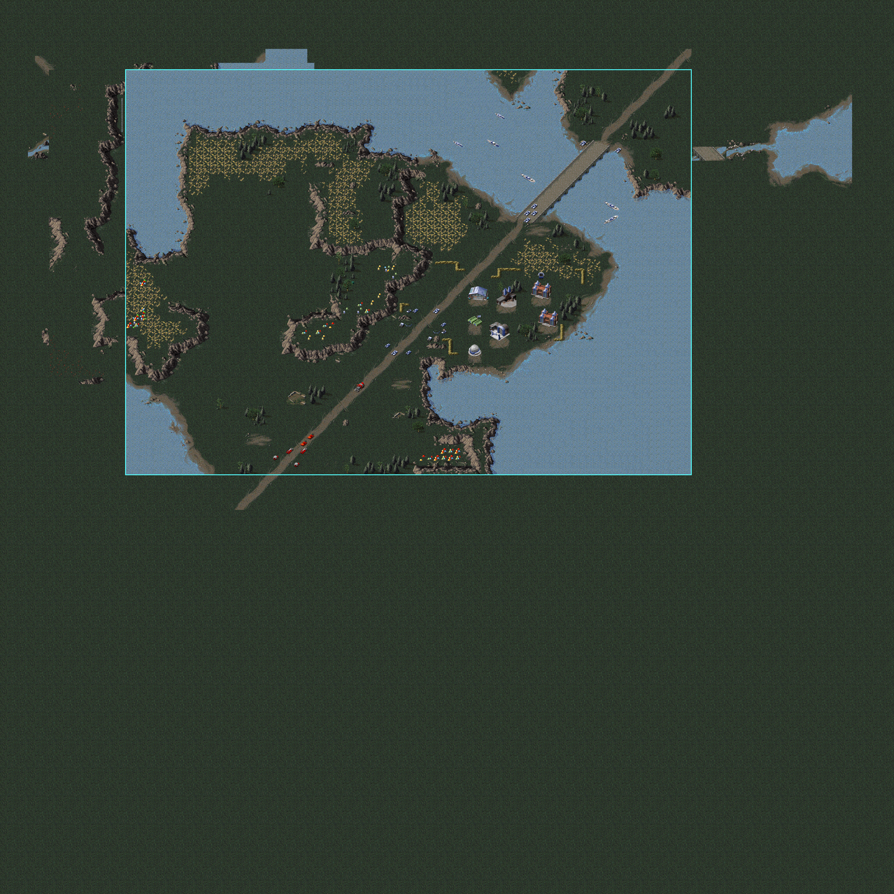
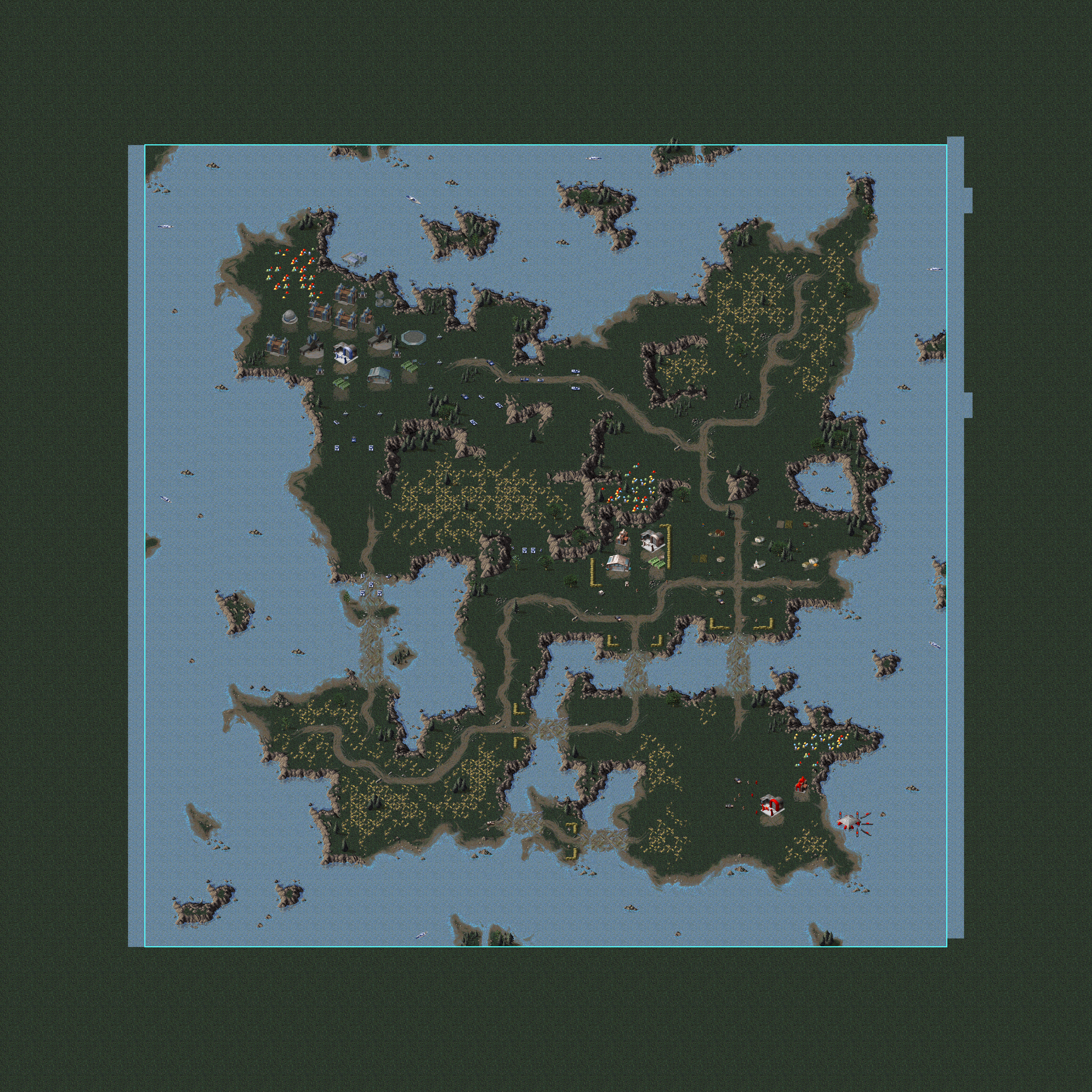
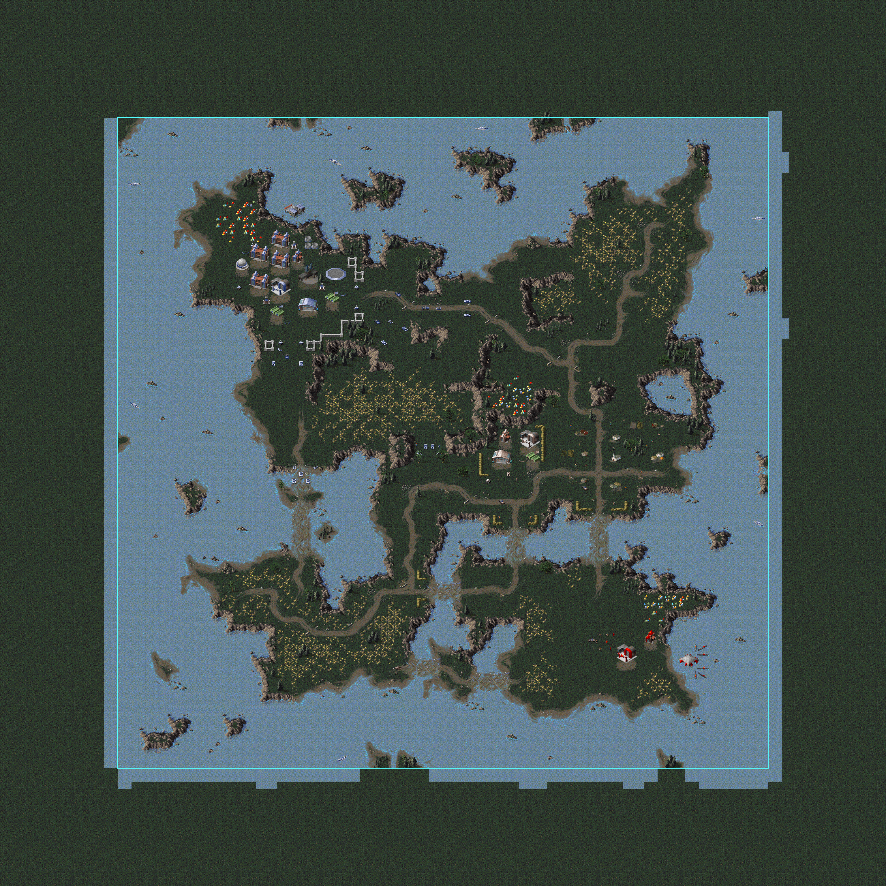
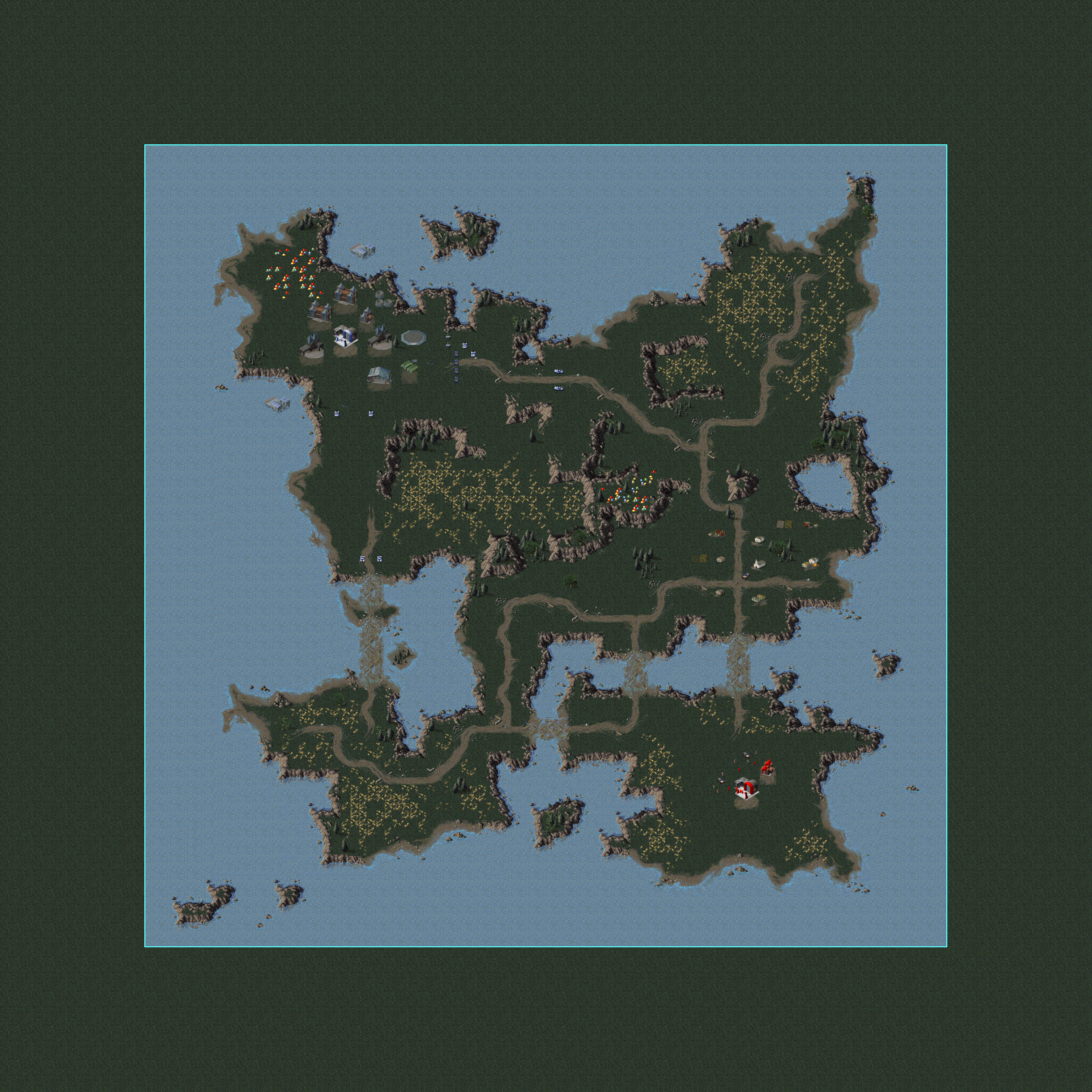
Unused Mission Areas#
Allied Missions#
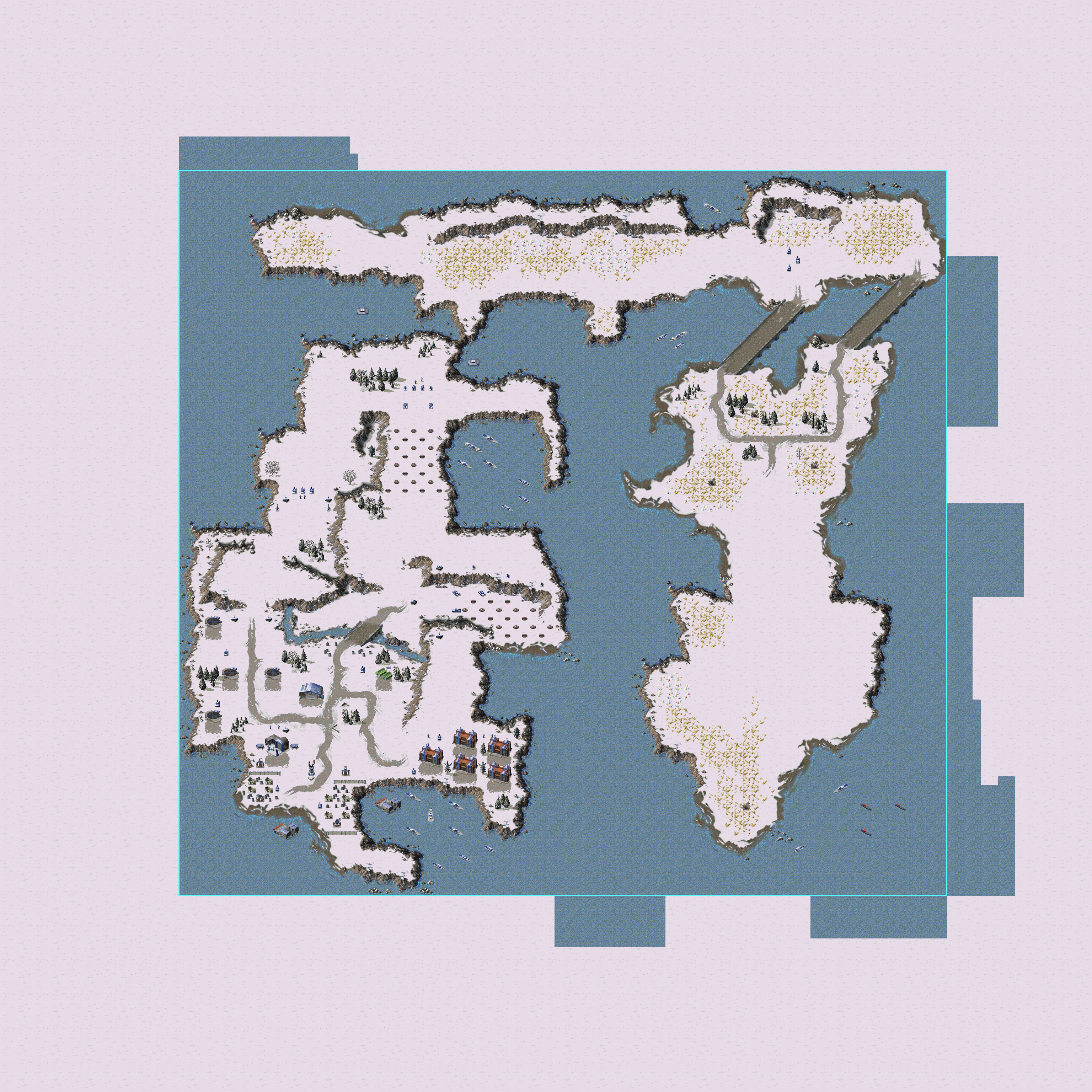
Map Name |
Differences |
Proto |
Final |
|---|---|---|---|
style="text-align: center; vertical-align: auto;"; |Allies 01 |
|
||
style="text-align: center; vertical-align: auto;"; |Allies 02 |
|
||
style="text-align: center; vertical-align: auto;"; |Allies 03 |
|
||
style="text-align: center; vertical-align: auto;"; |Allies 03 |
|||
style="text-align: center; vertical-align: auto;"; |Allies 04 |
|
||
style="text-align: center; vertical-align: auto;"; |Allies 05 |
|
||
style="text-align: center; vertical-align: auto;"; |Allies 05 |
|
||
style="text-align: center; vertical-align: auto;"; |Allies 05 |
|||
style="text-align: center; vertical-align: auto;"; |Allies 06 |
|||
style="text-align: center; vertical-align: auto;"; |Allies 06 |
|||
style="text-align: center; vertical-align: auto;"; |Allies 07 |
|||
style="text-align: center; vertical-align: auto;"; |Allies 07 |
|||
style="text-align: center; vertical-align: auto;"; |Allies 08 |
|
||
style="text-align: center; vertical-align: auto;"; |Allies 08 |
|
||
style="text-align: center; vertical-align: auto;"; |Allies 09 |
|
||
style="text-align: center; vertical-align: auto;"; |Allies 09 |
|||
style="text-align: center; vertical-align: auto;"; |Allies 10 |
|||
style="text-align: center; vertical-align: auto;"; |Allies 10 |
|||
style="text-align: center; vertical-align: auto;"; |Allies 11 |
|||
style="text-align: center; vertical-align: auto;"; |Allies 11 |
|||
style="text-align: center; vertical-align: auto;"; |Allies 12 |
|||
style="text-align: center; vertical-align: auto;"; |Allies 13 |
|||
style="text-align: center; vertical-align: auto;"; |Allies 14 |


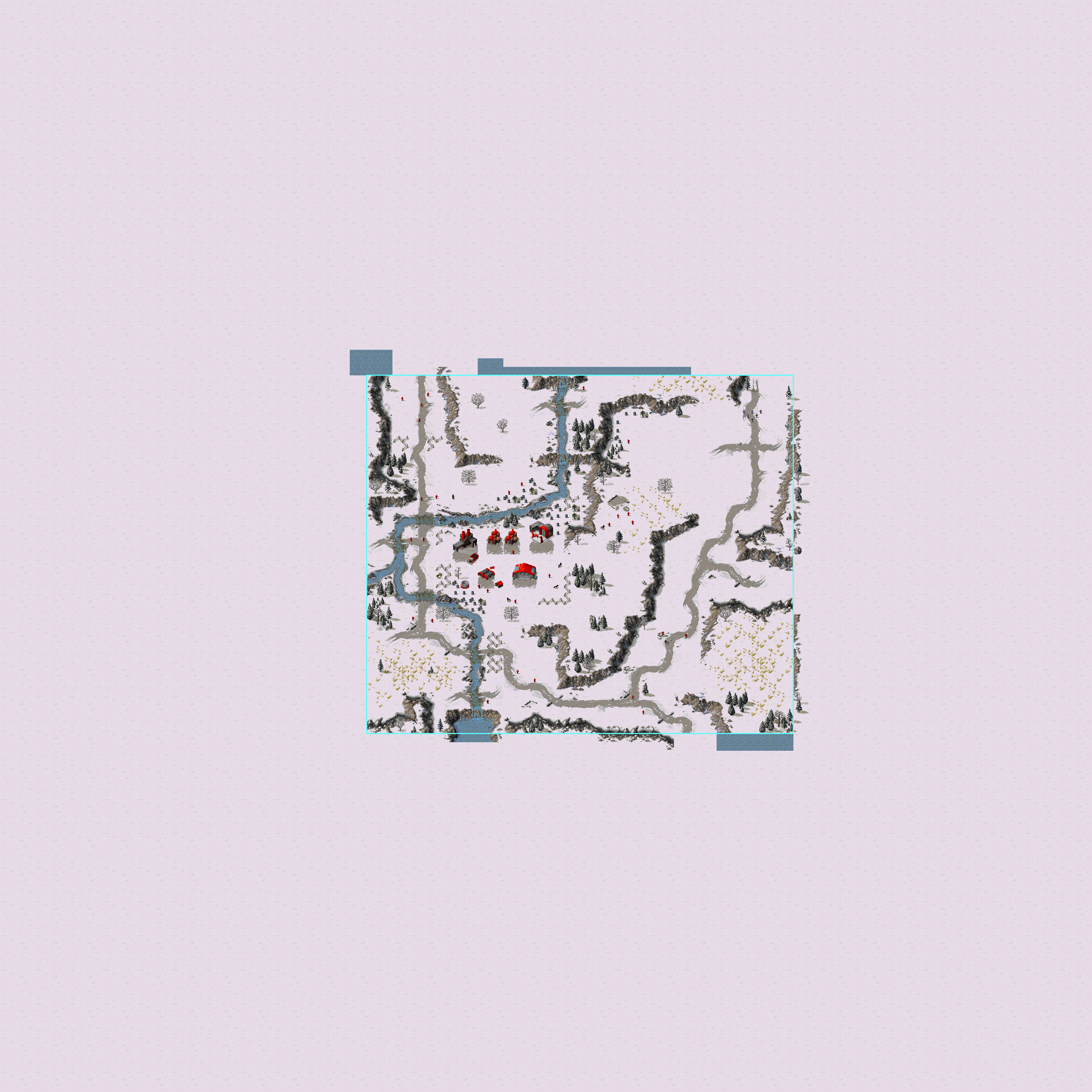
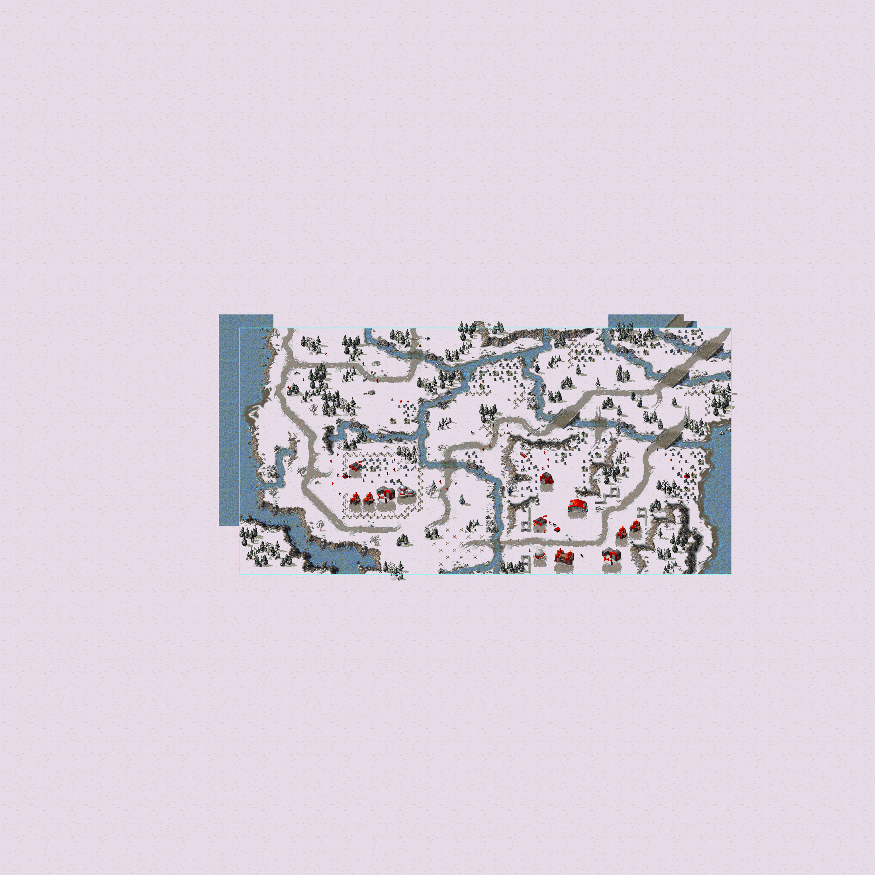

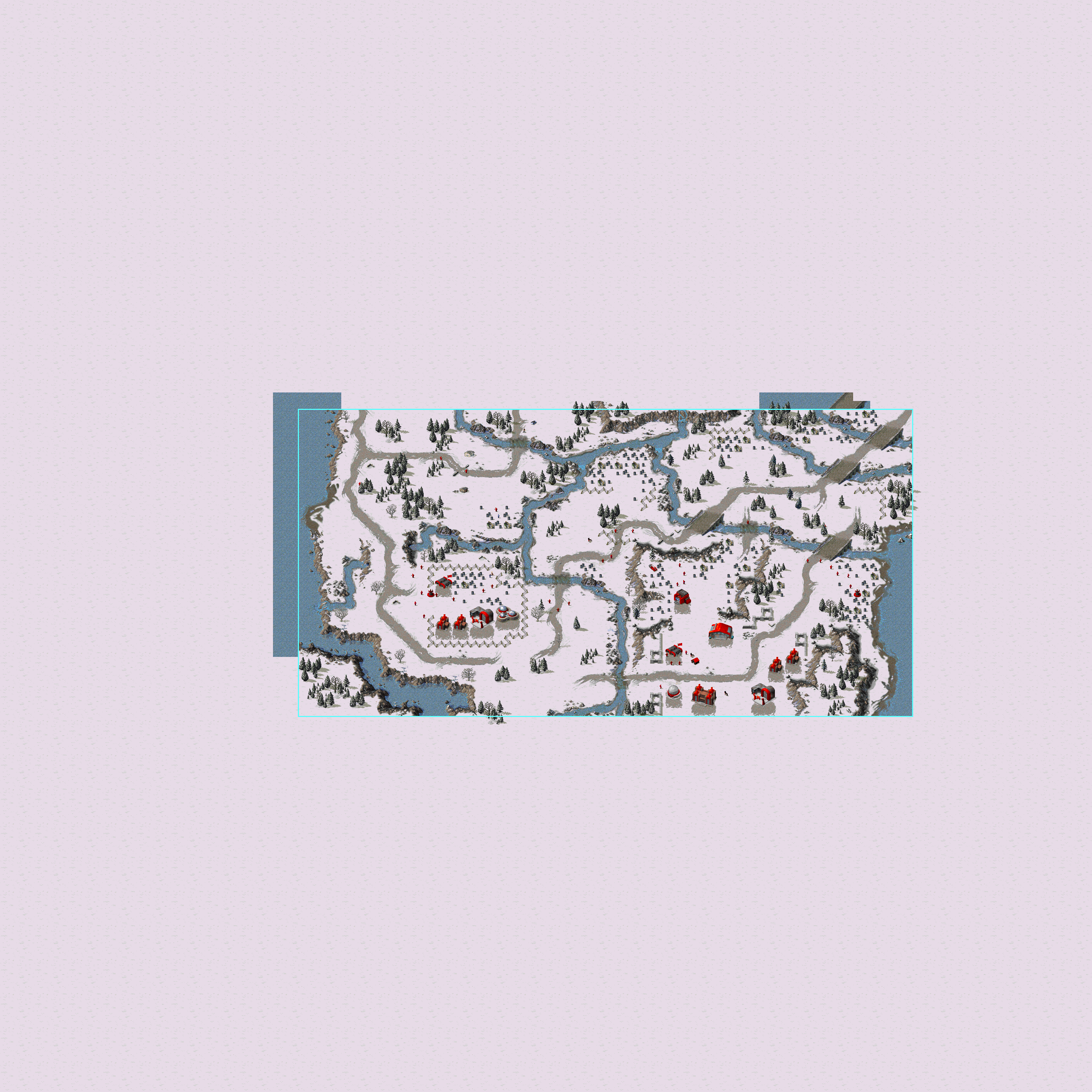
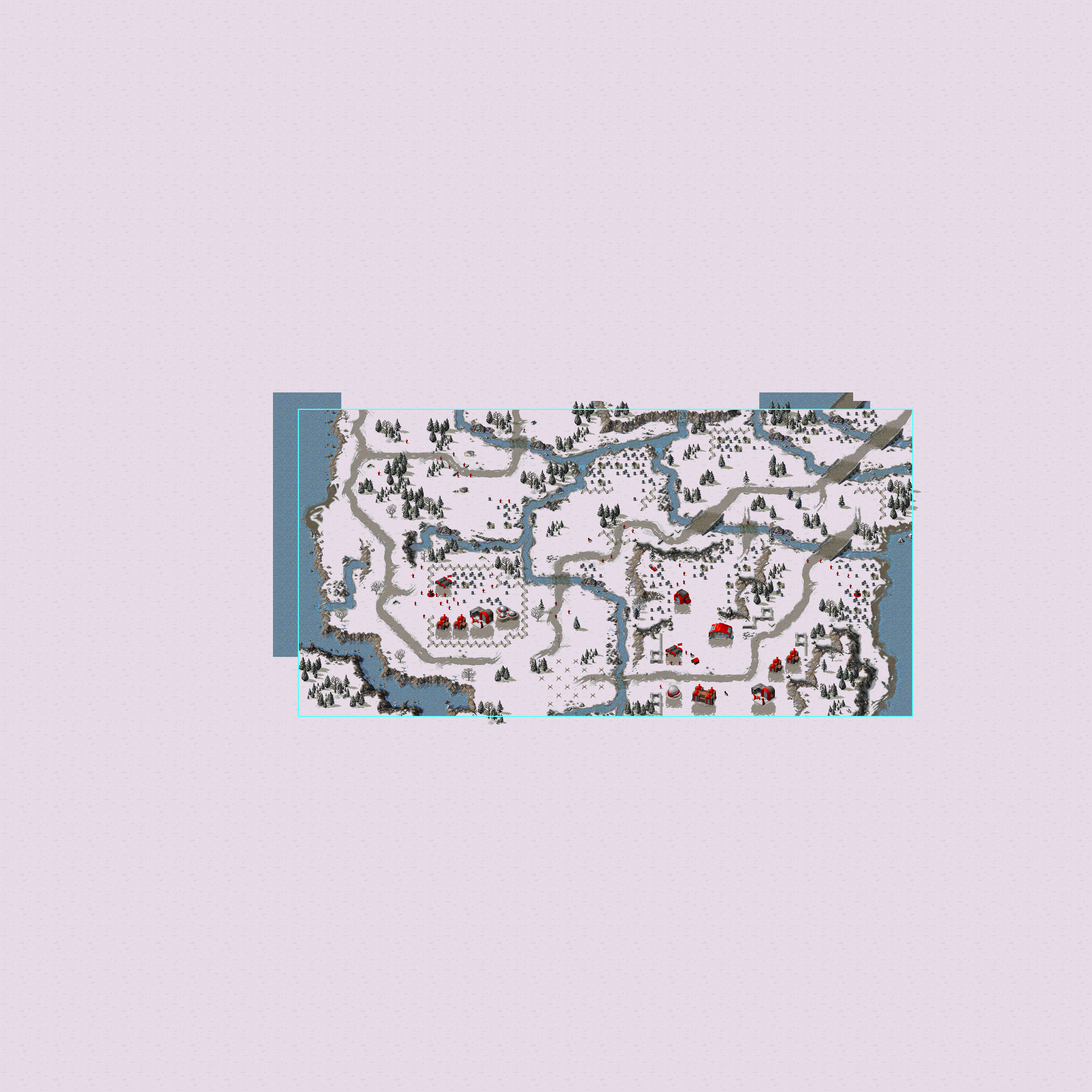

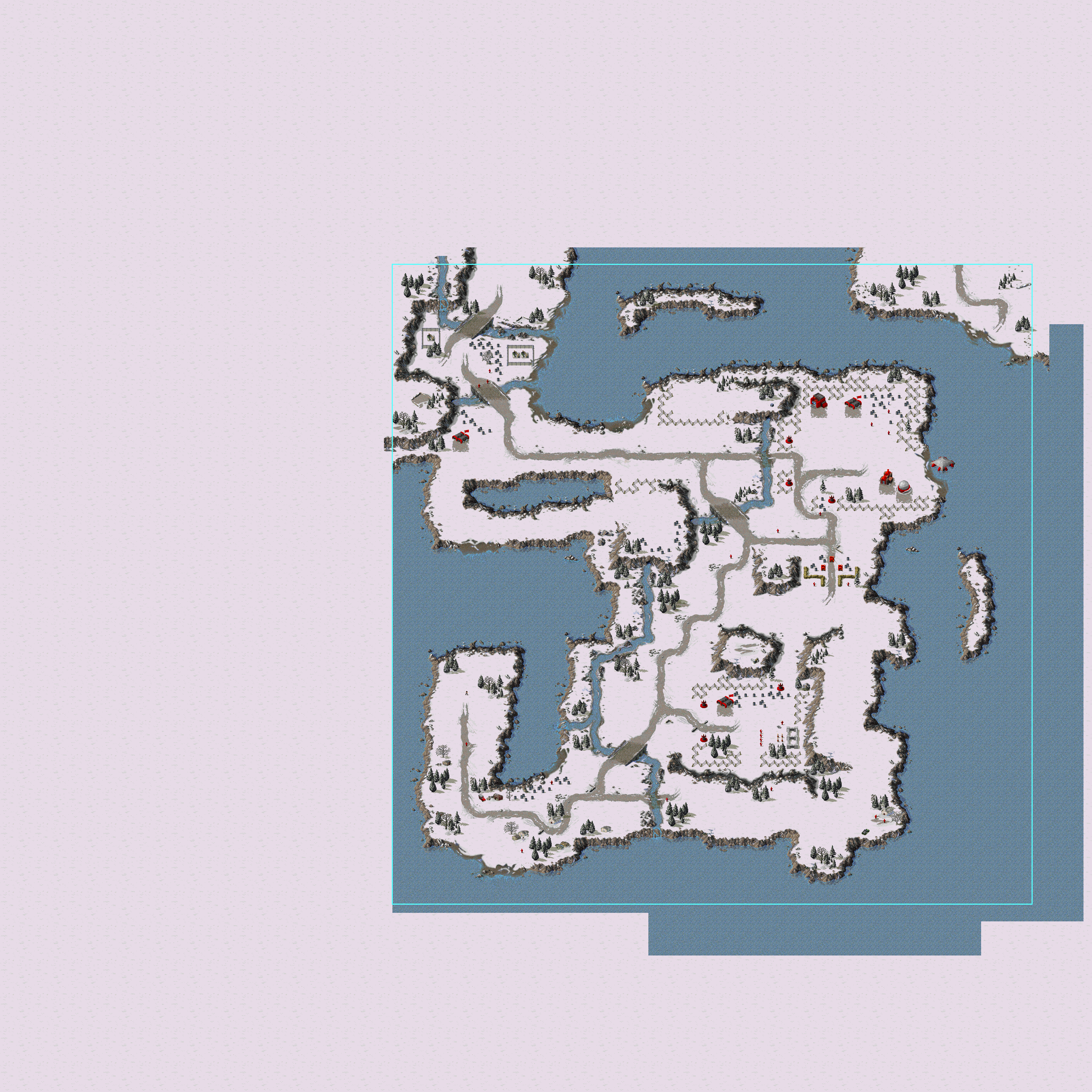

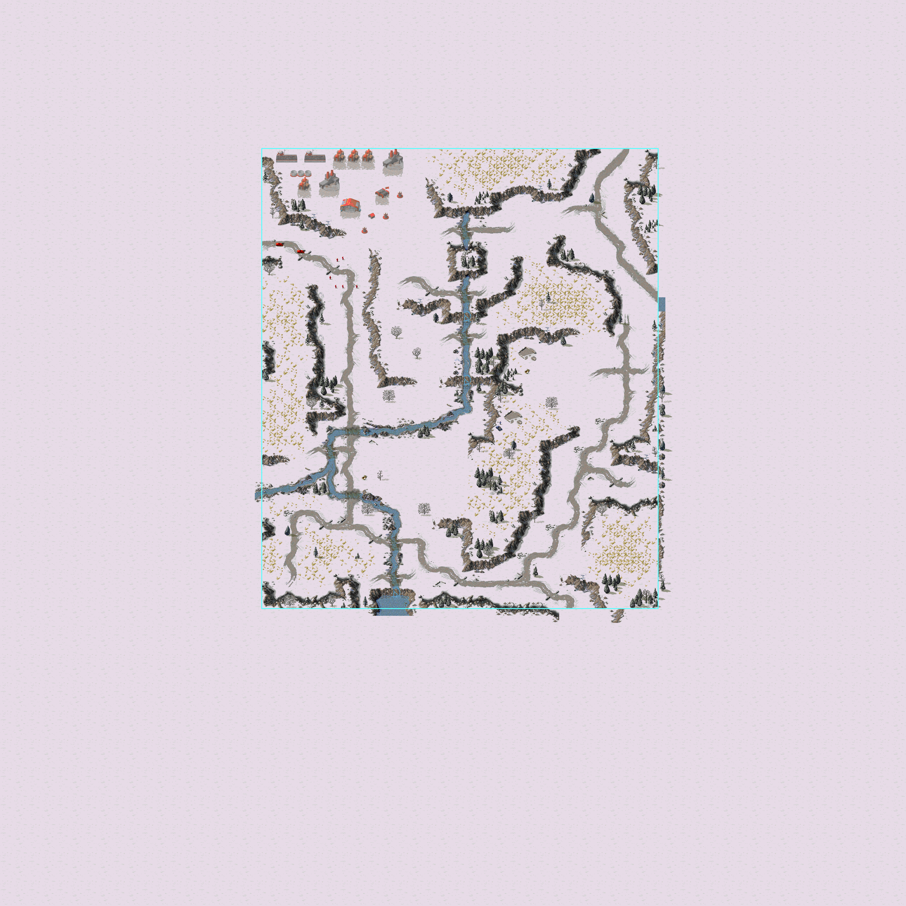

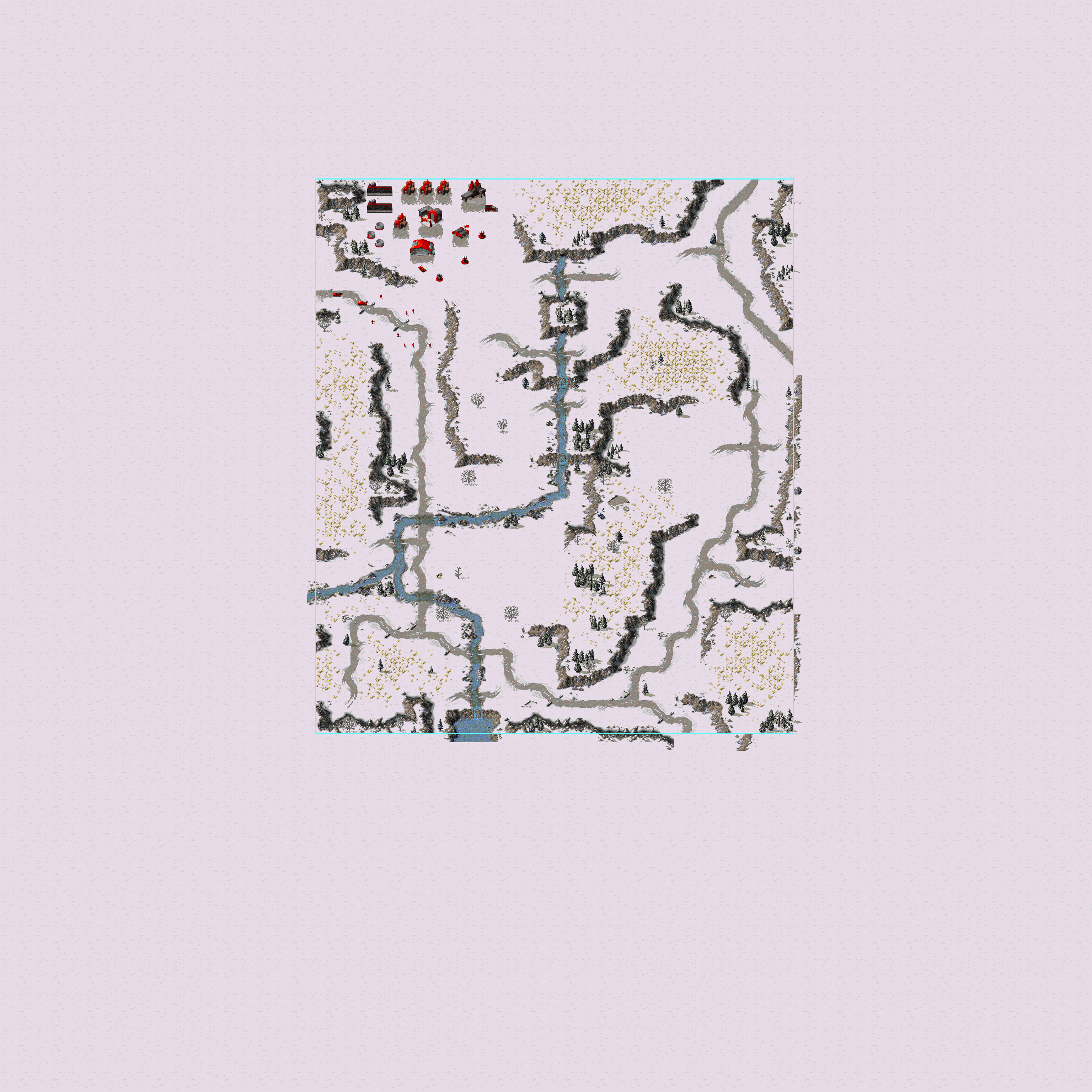
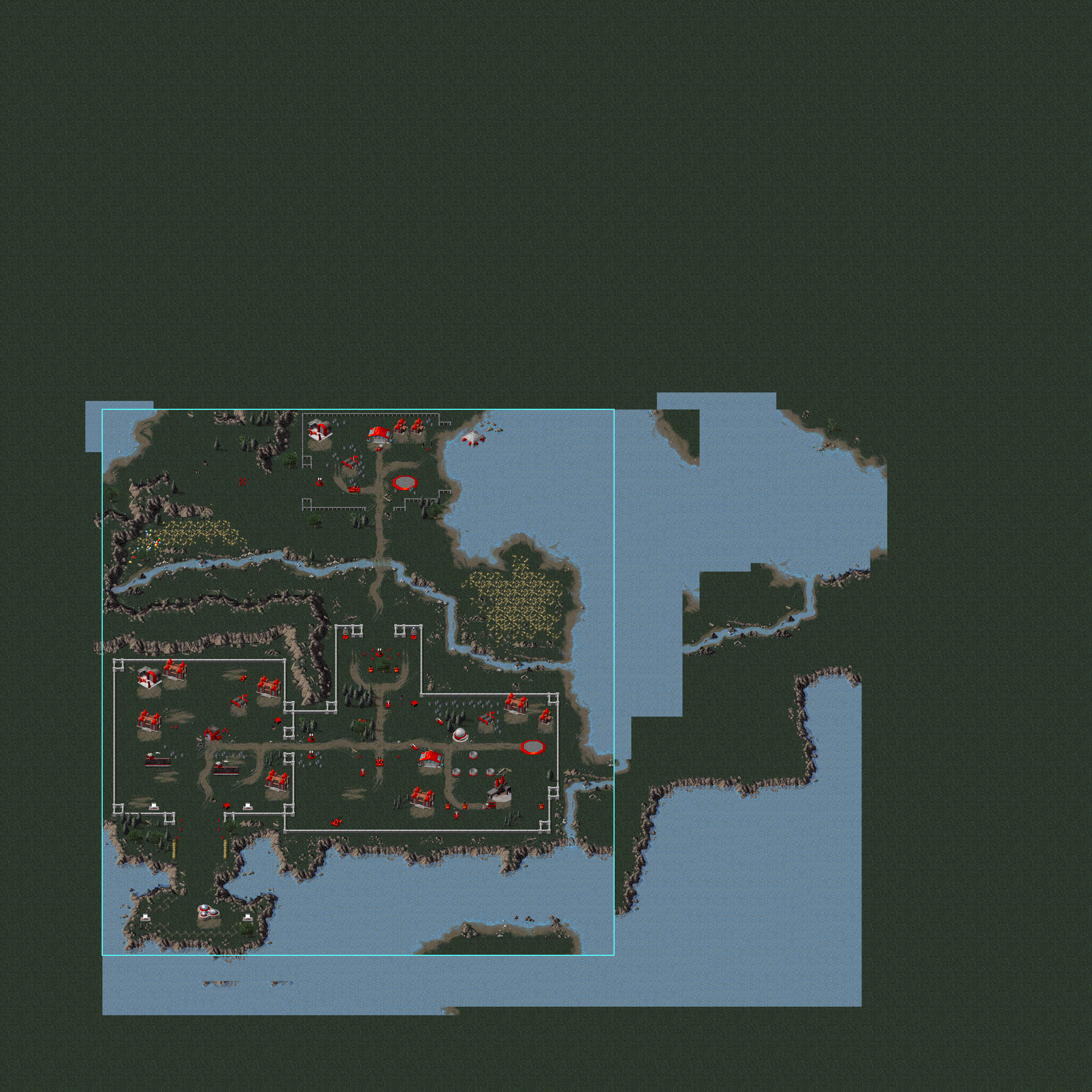

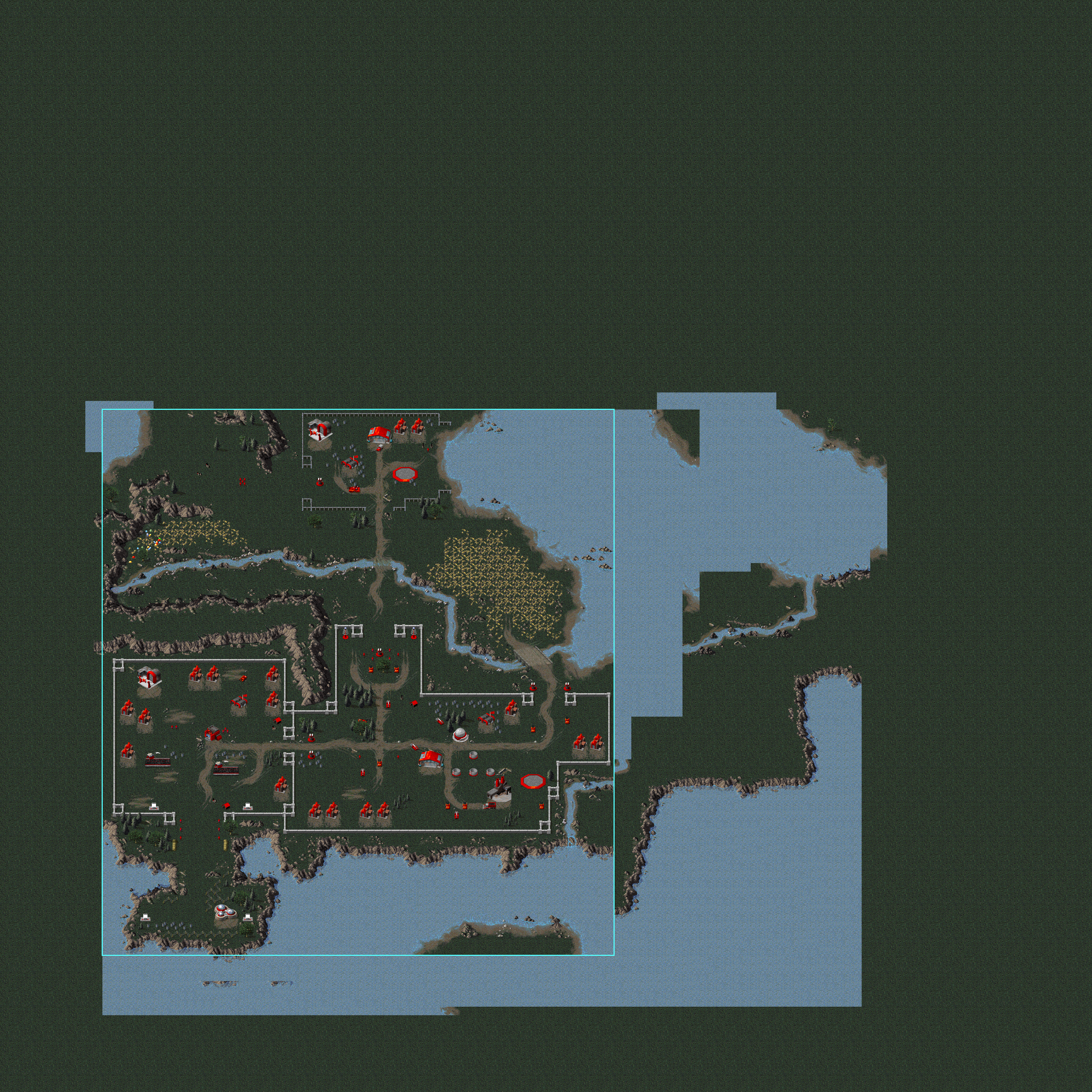
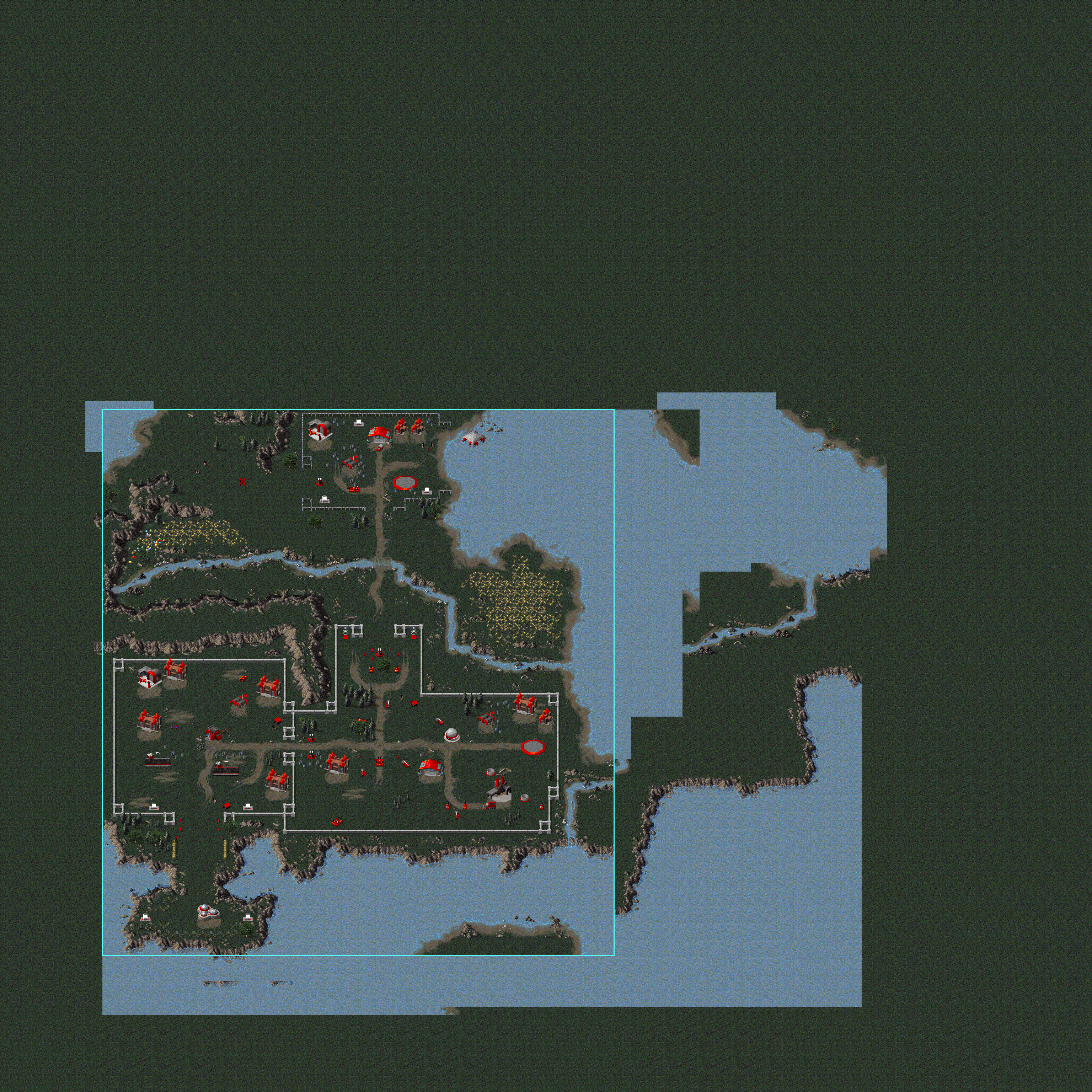

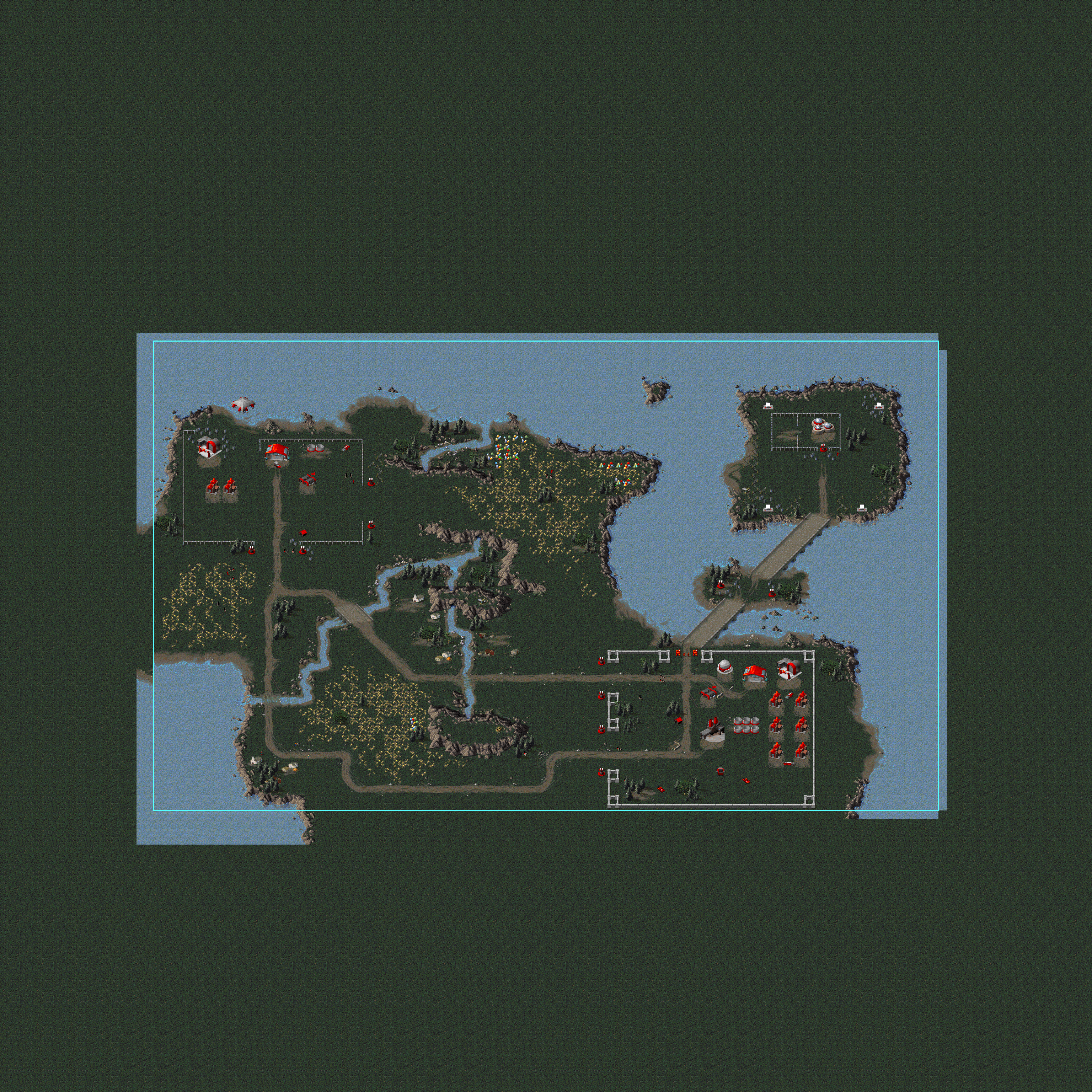

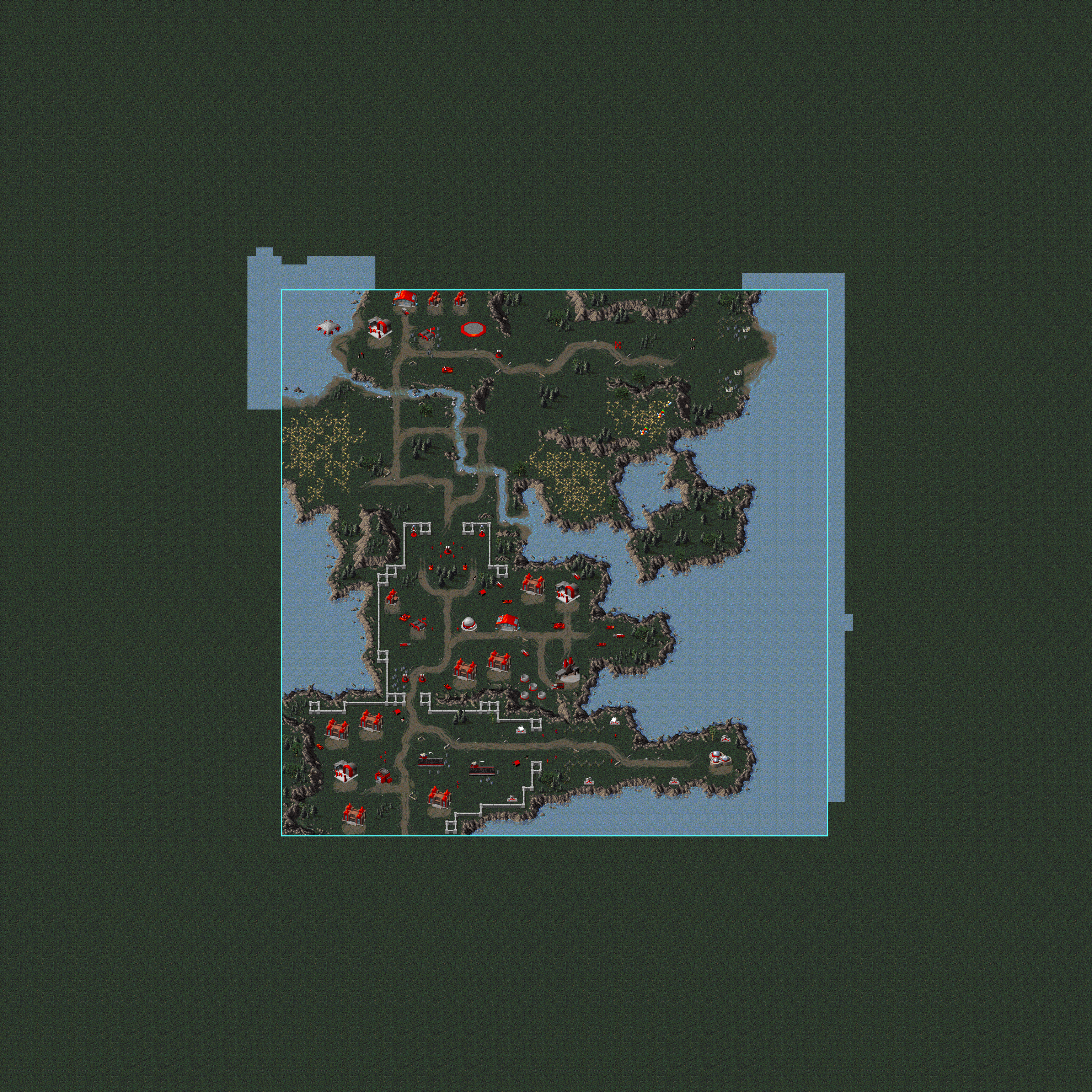






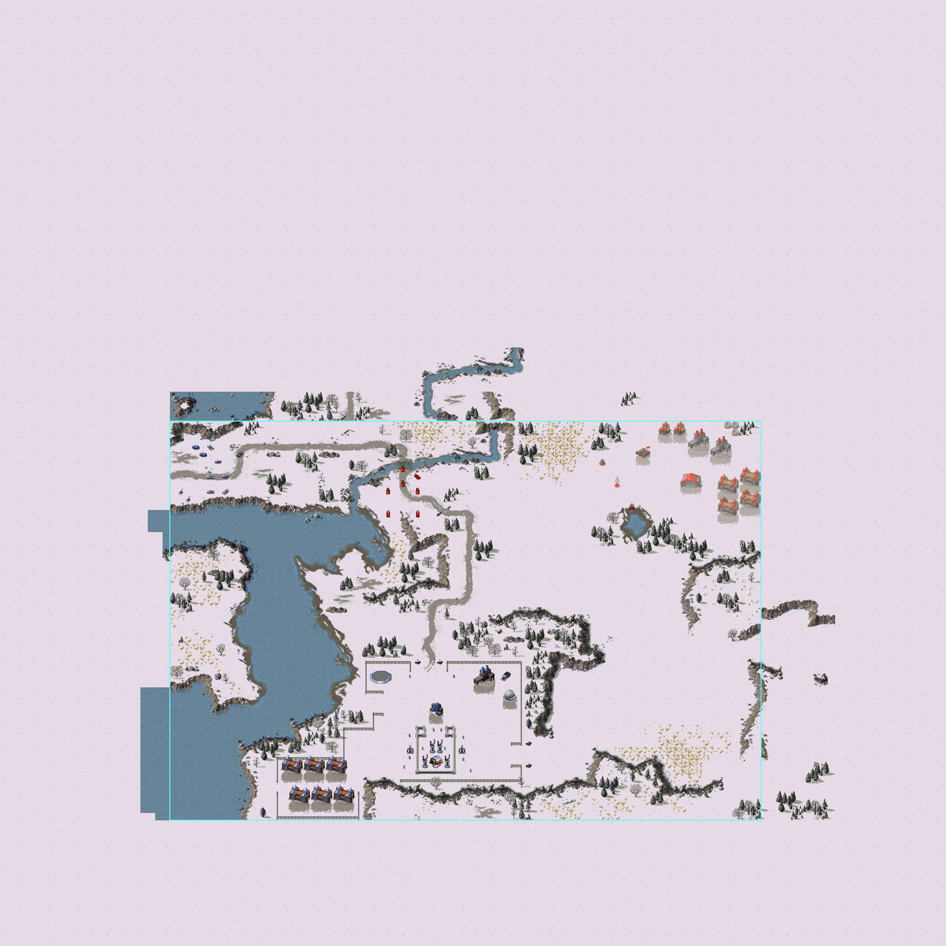

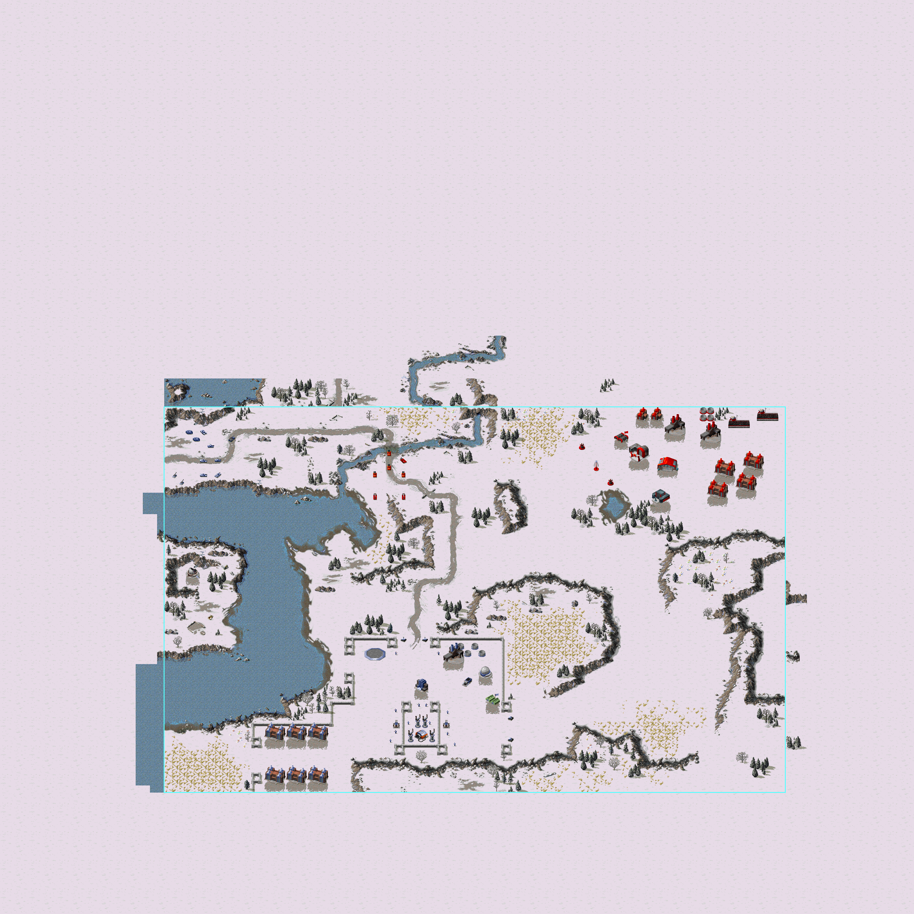

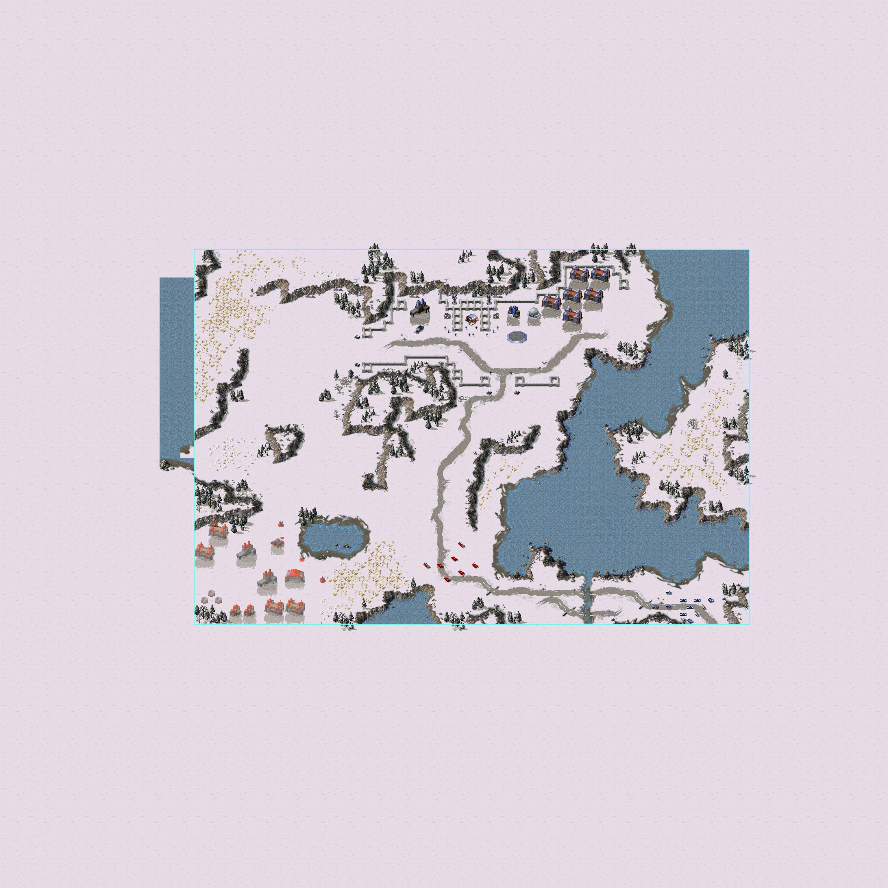

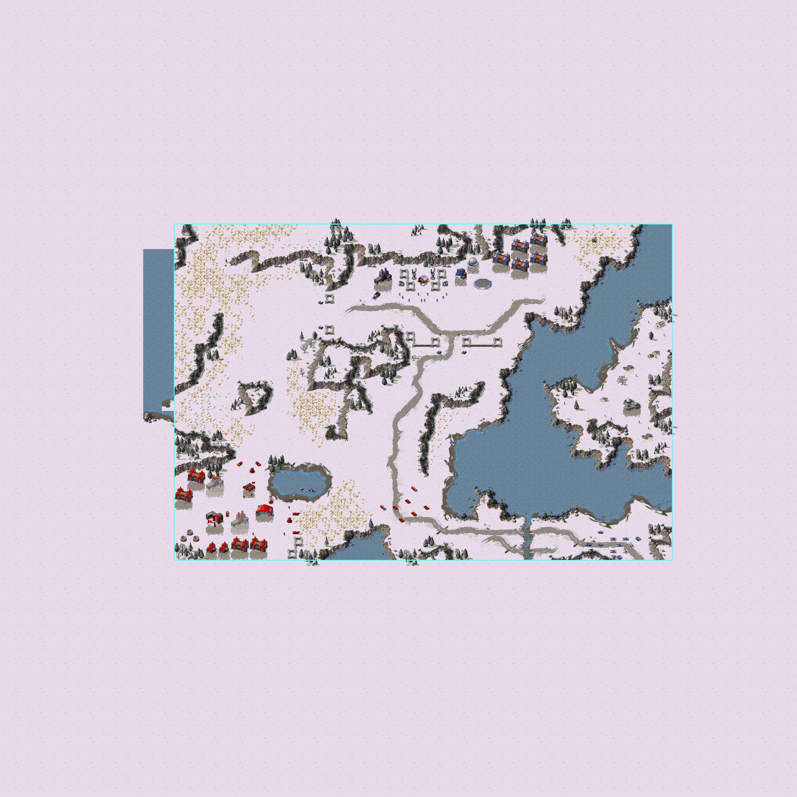
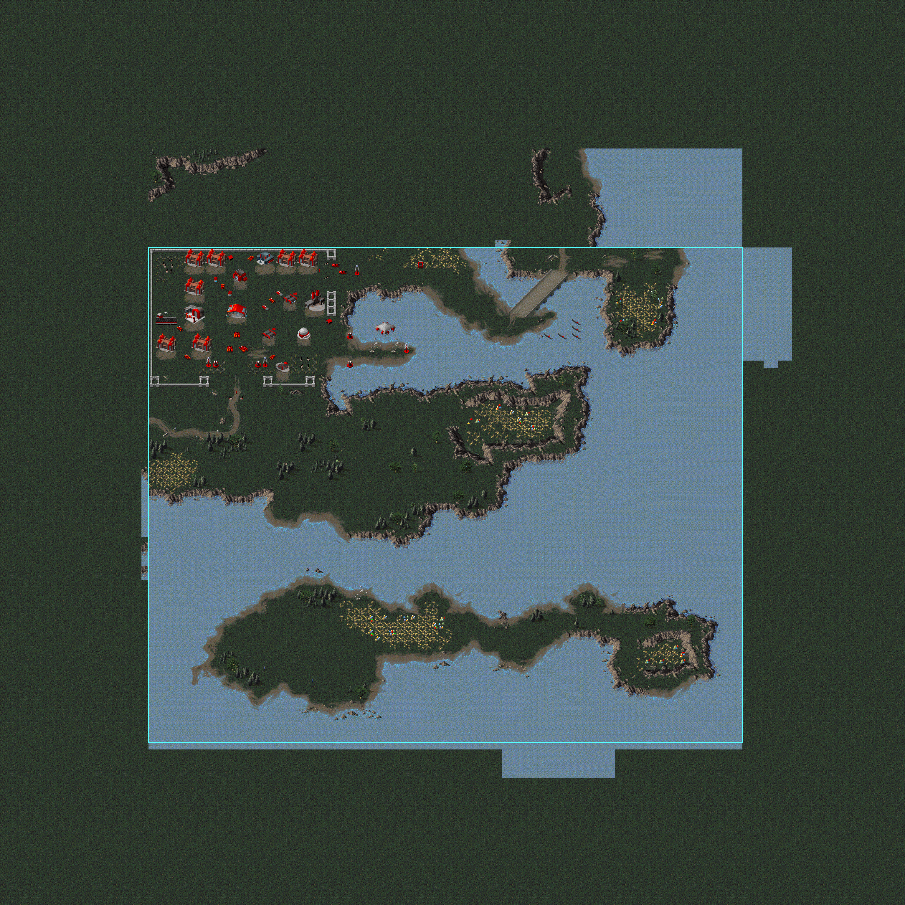

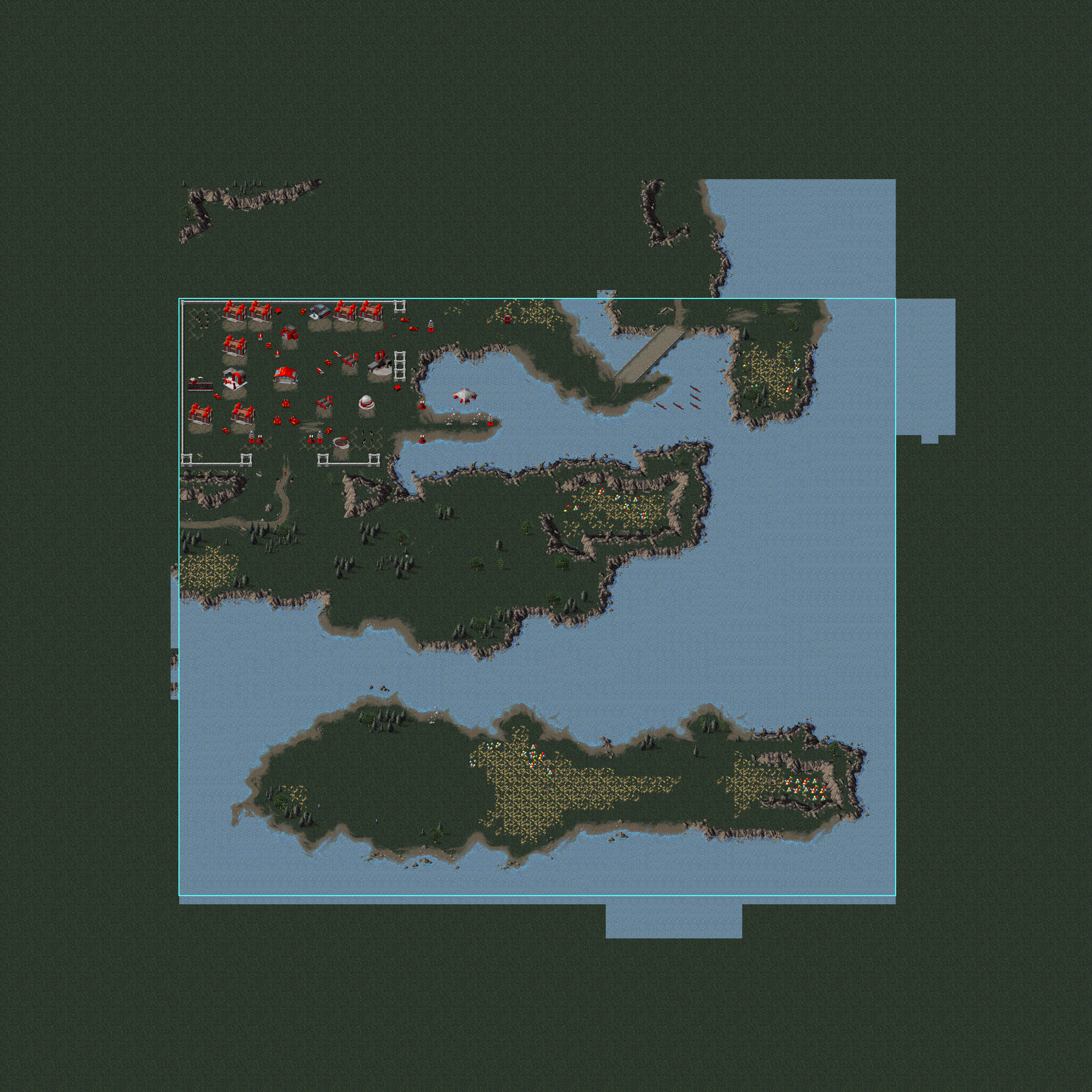
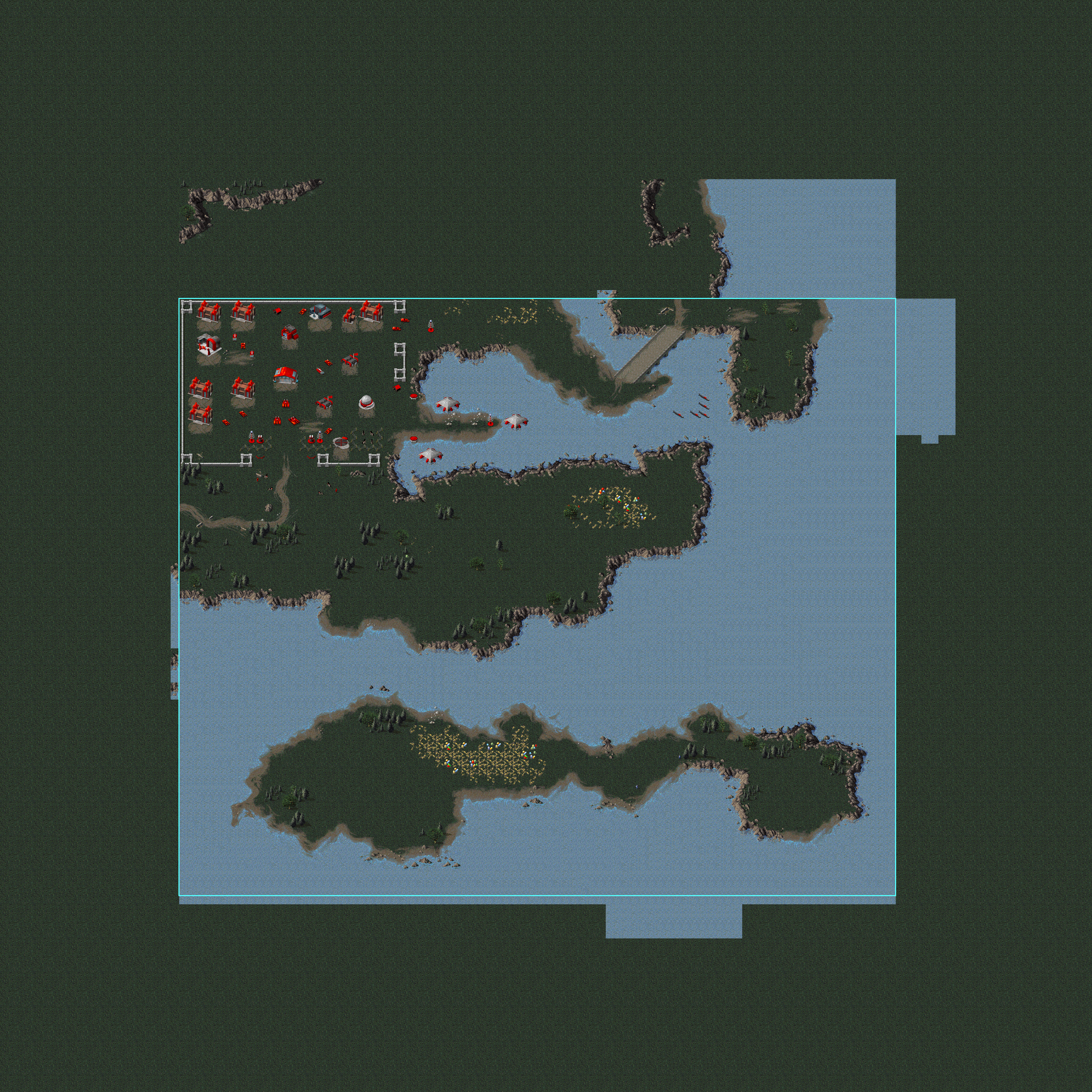

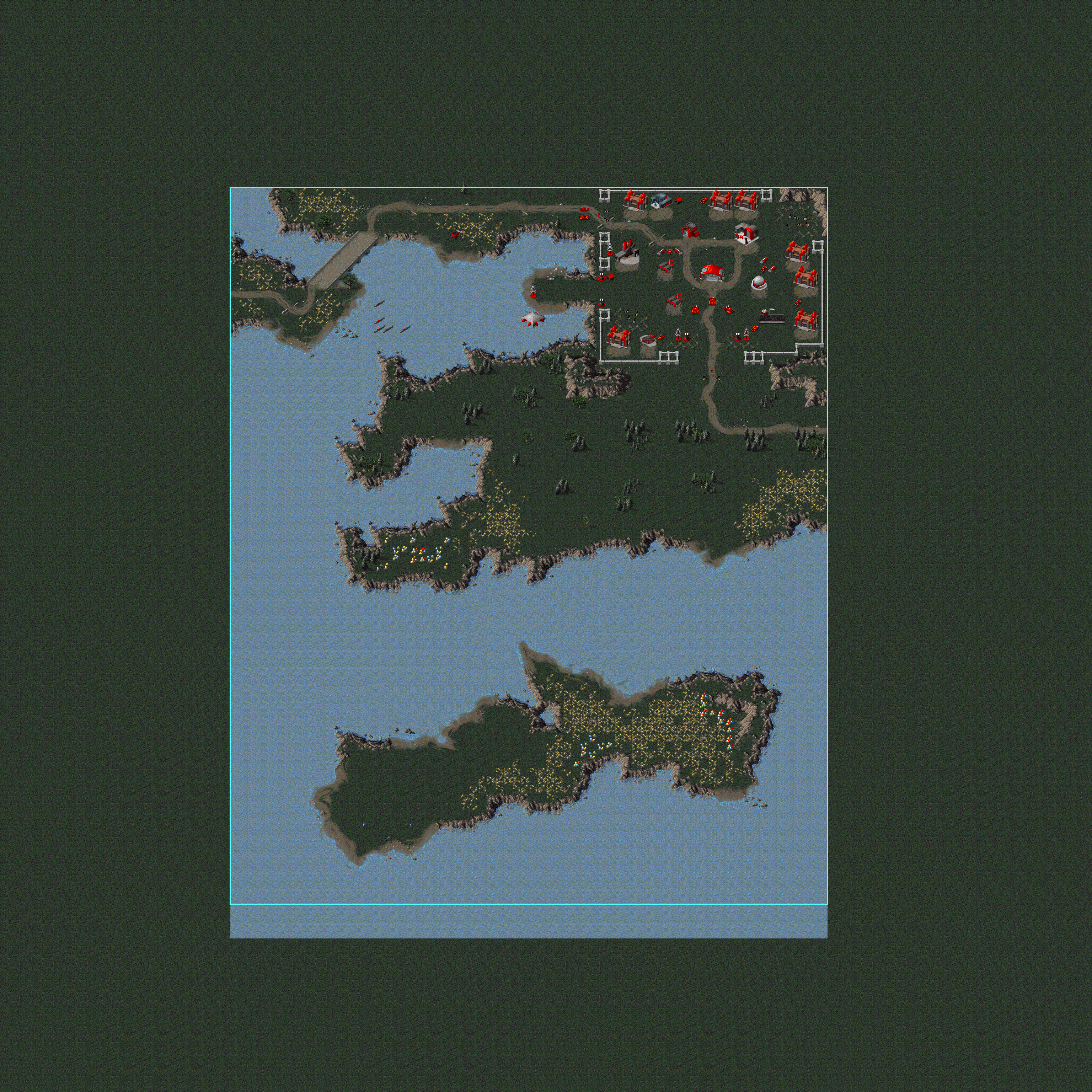

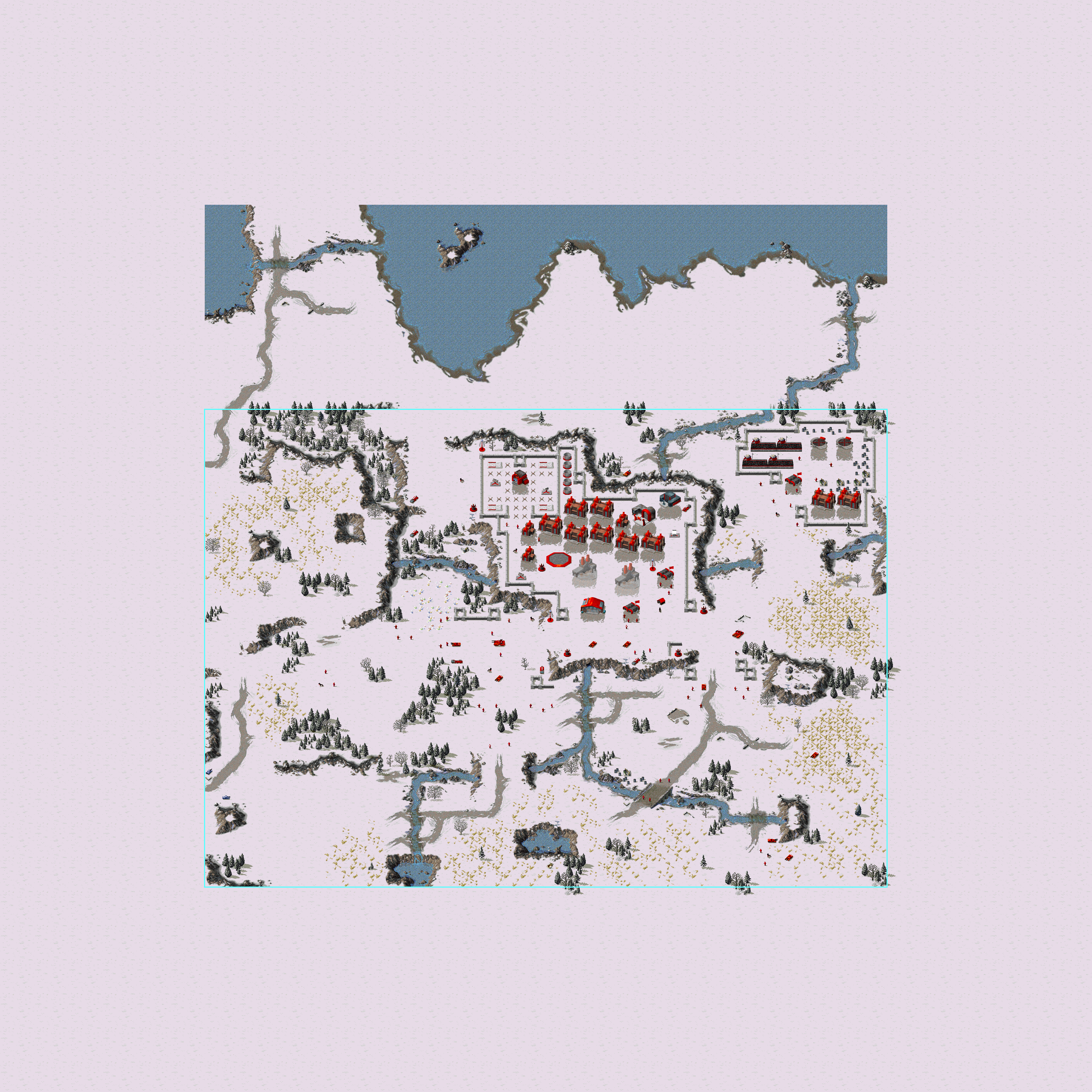

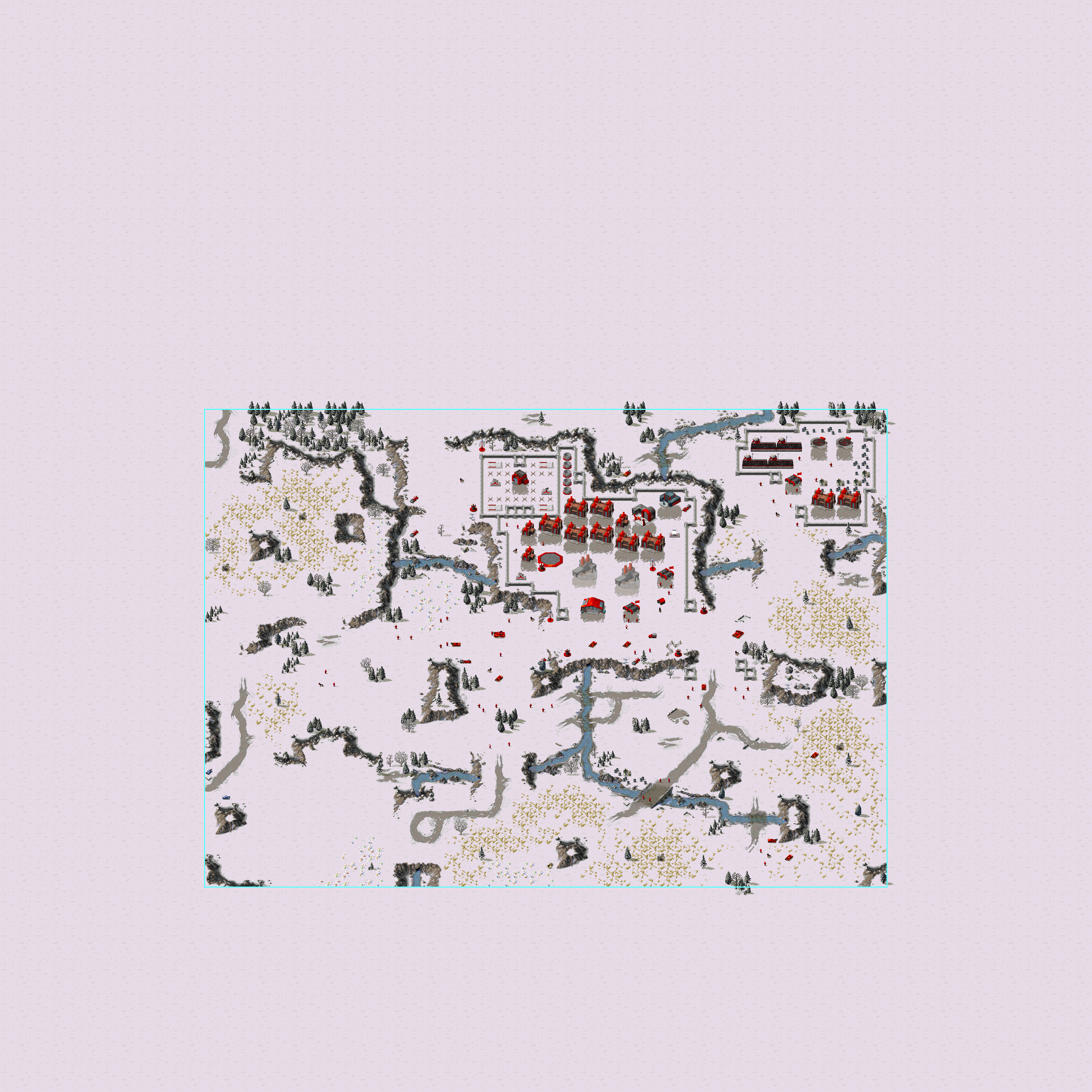
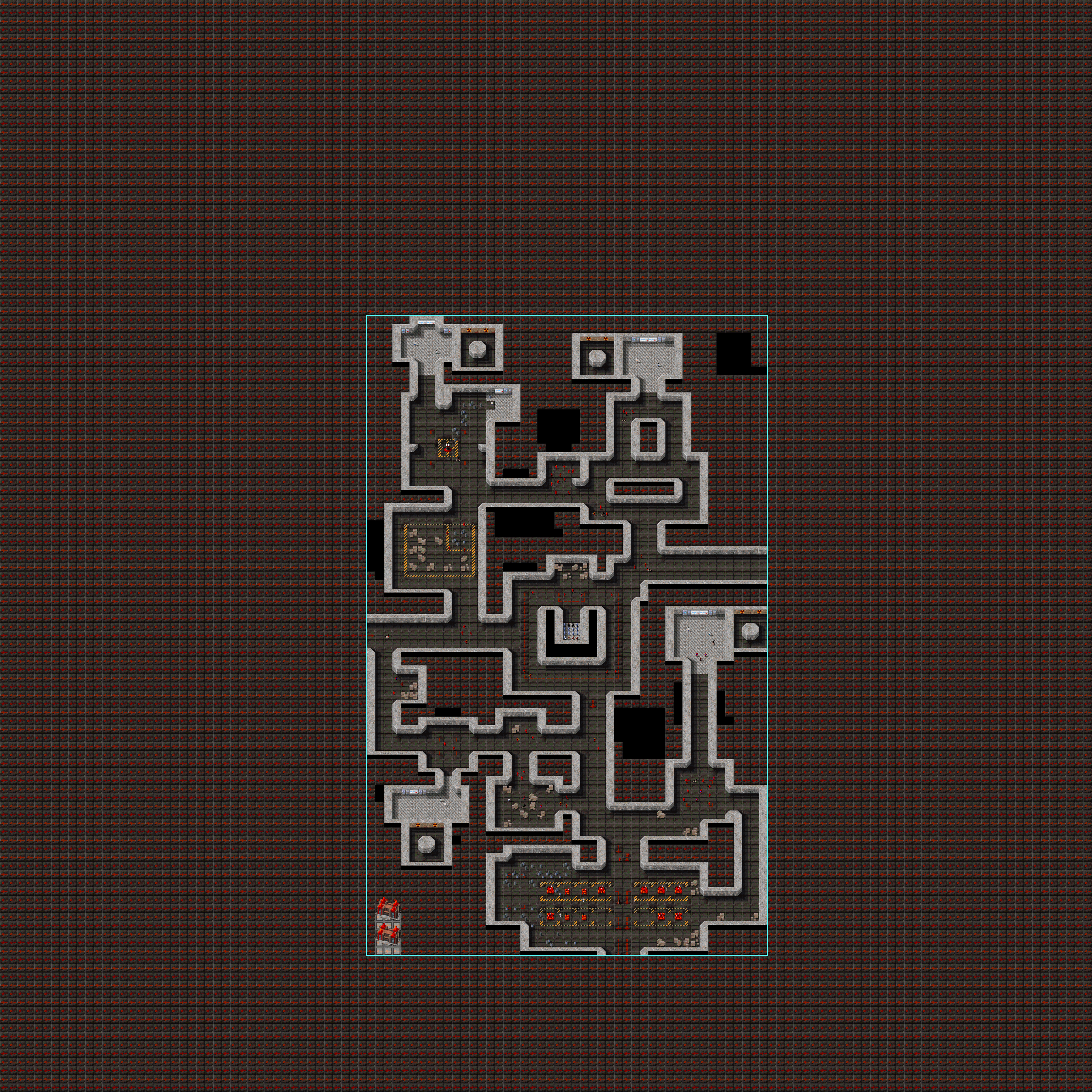

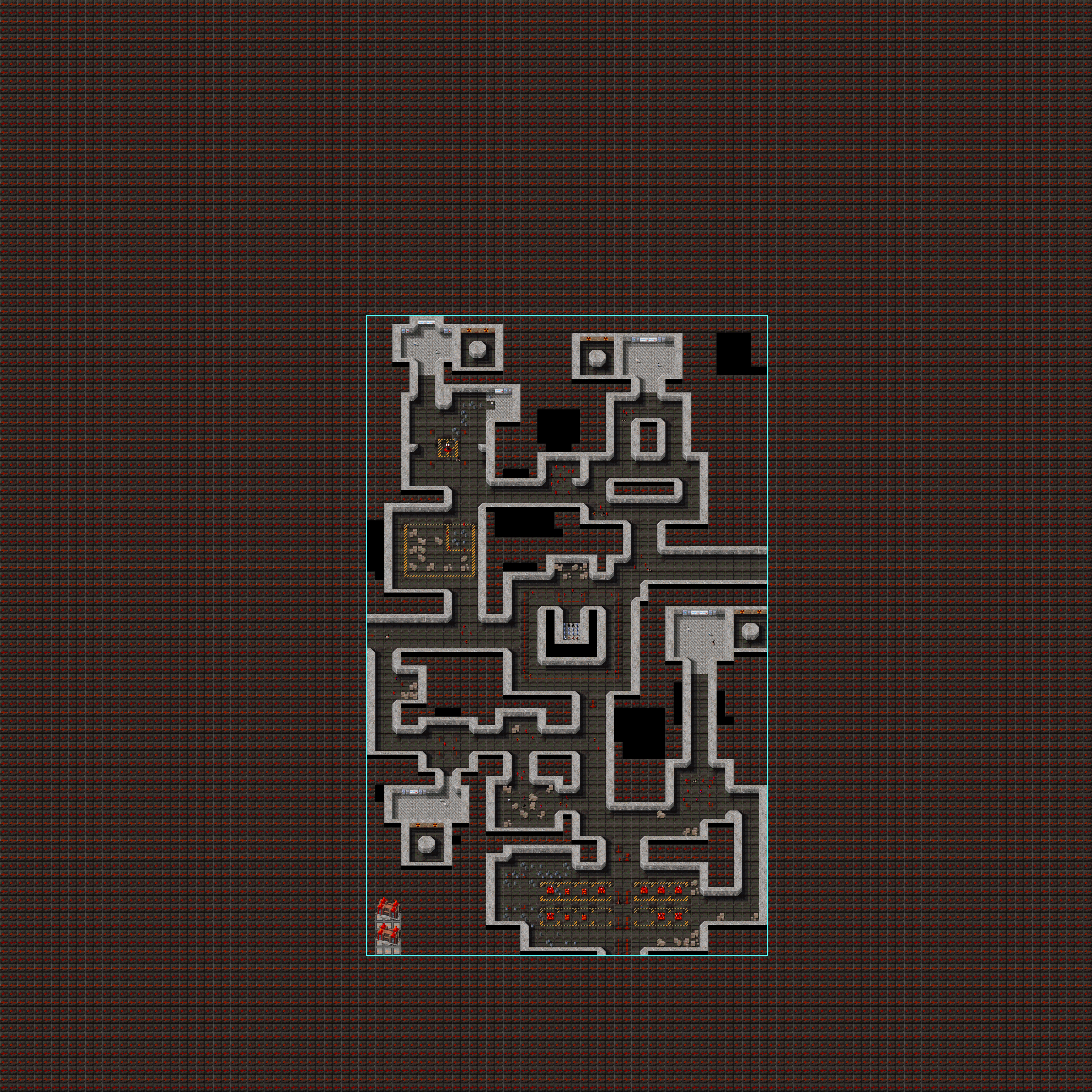





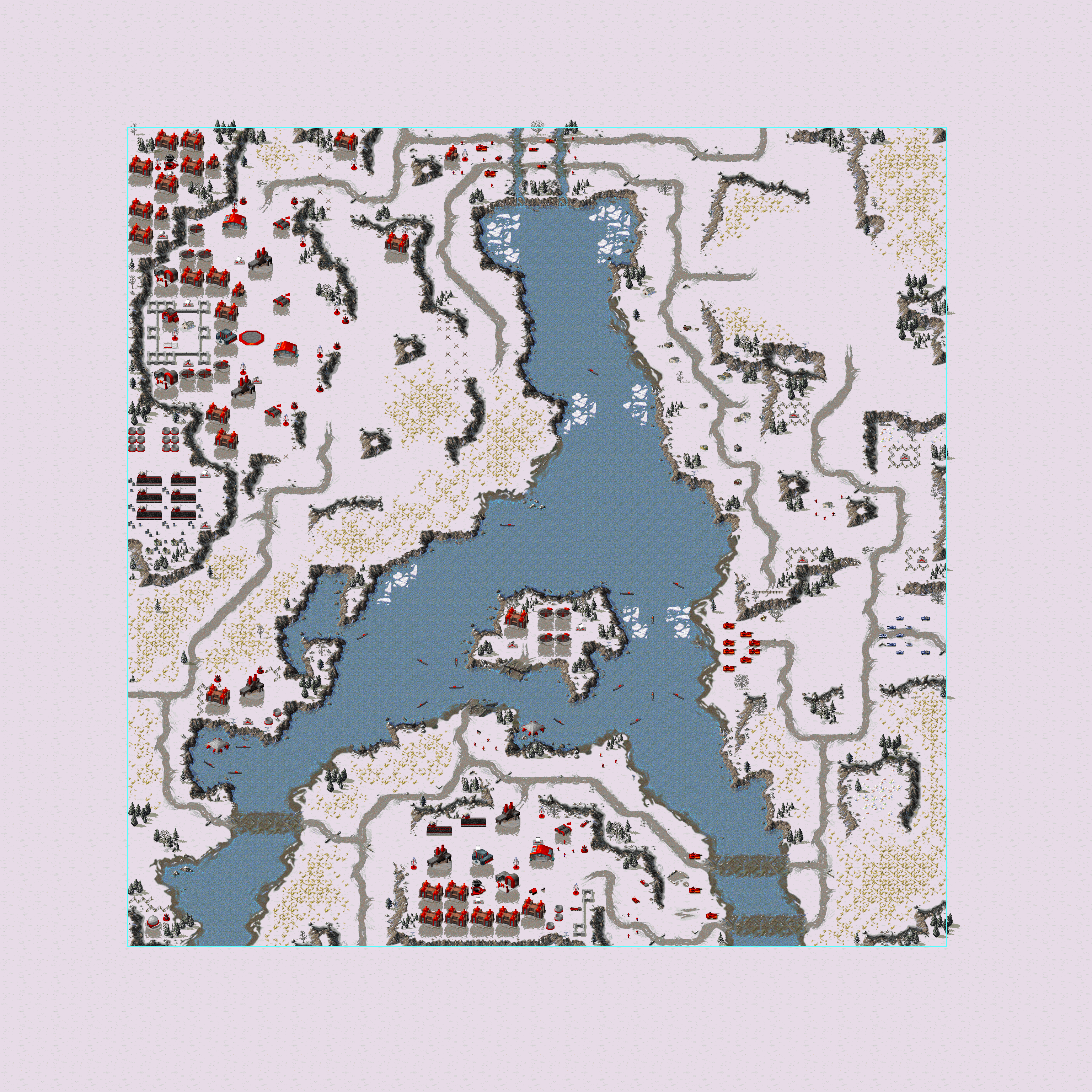

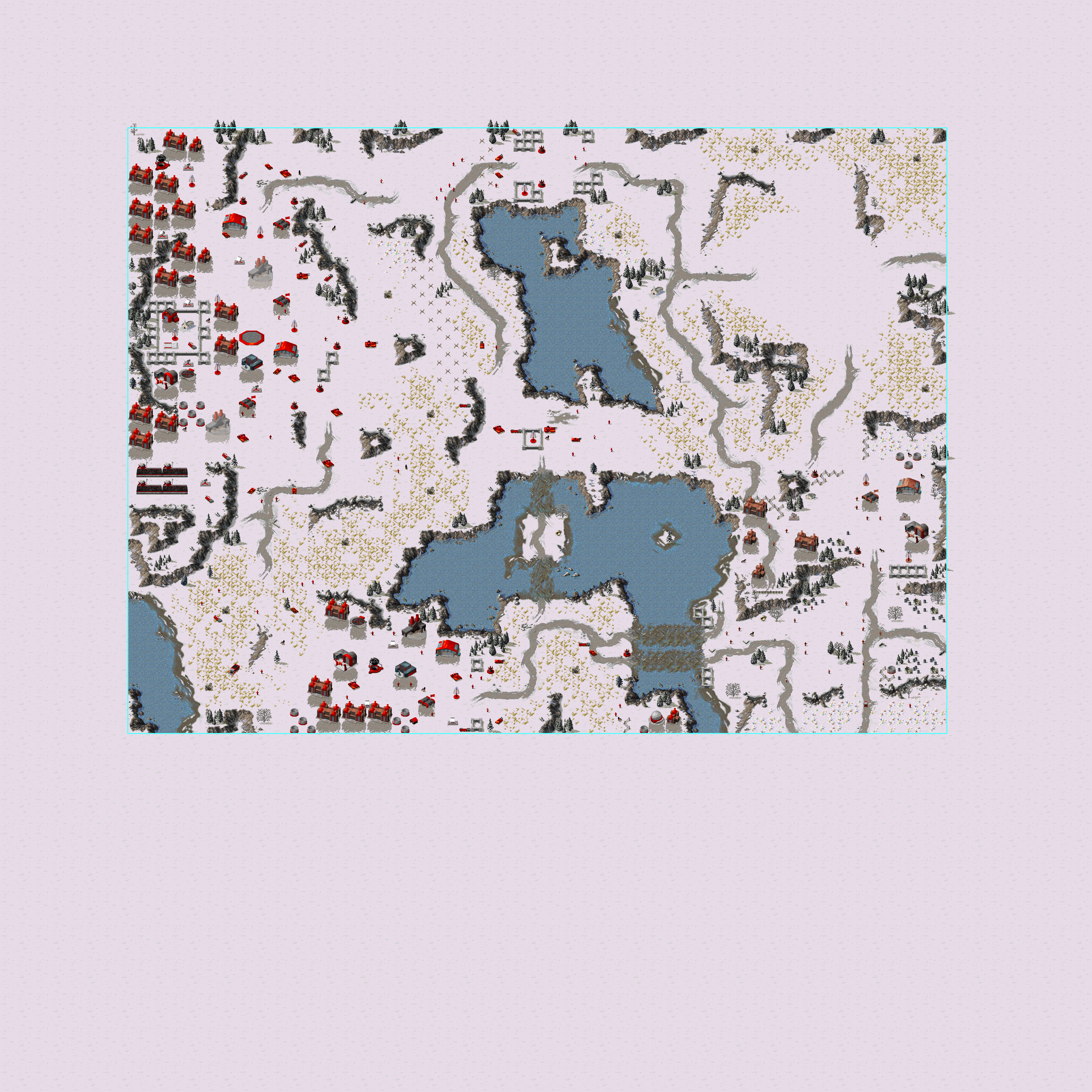

Counter-Strike, Allied
Map Name |
Description |
Map |
|---|---|---|
style="text-align: center; vertical-align: auto;"; |Counterstrike - Allies |
|
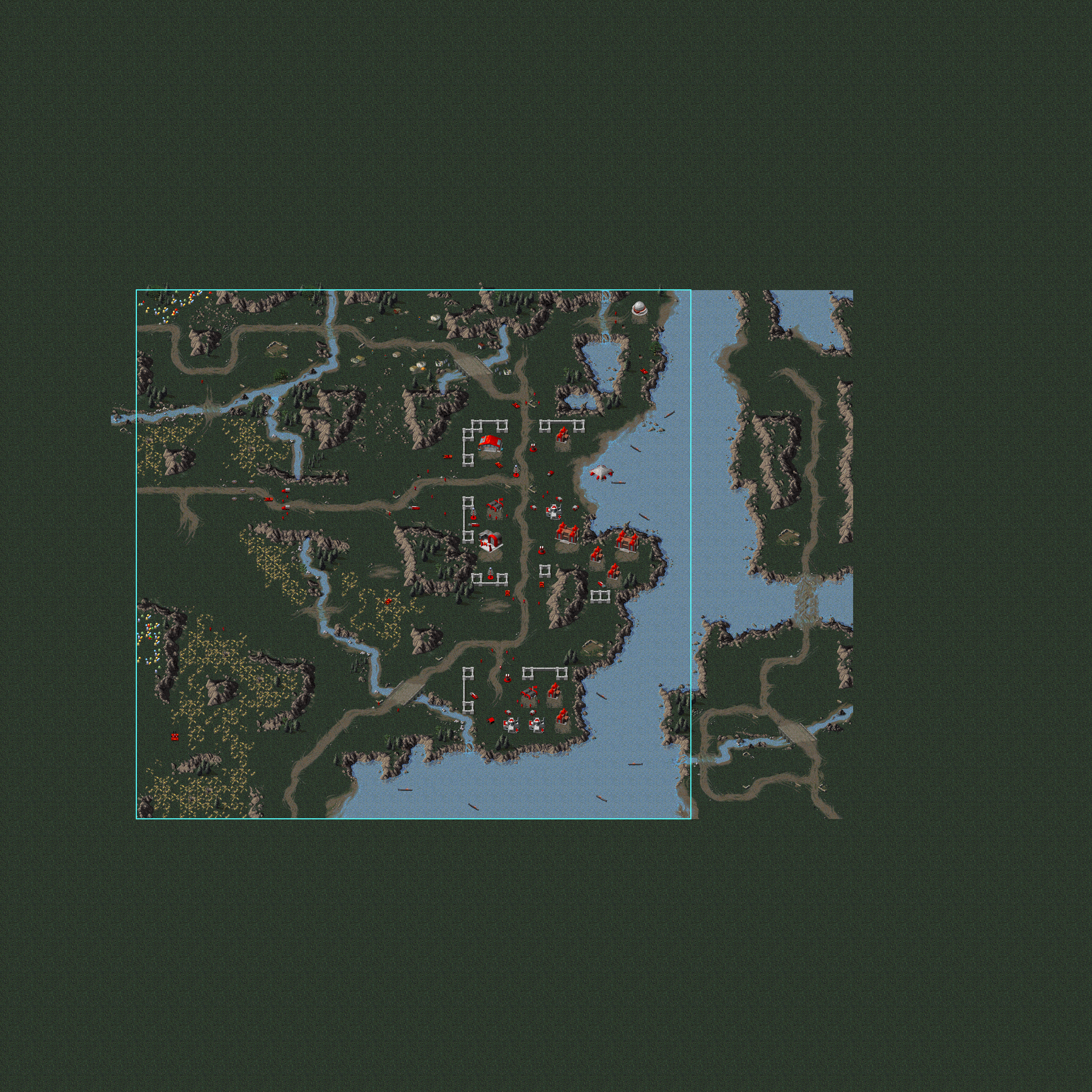

Soviet Missions#
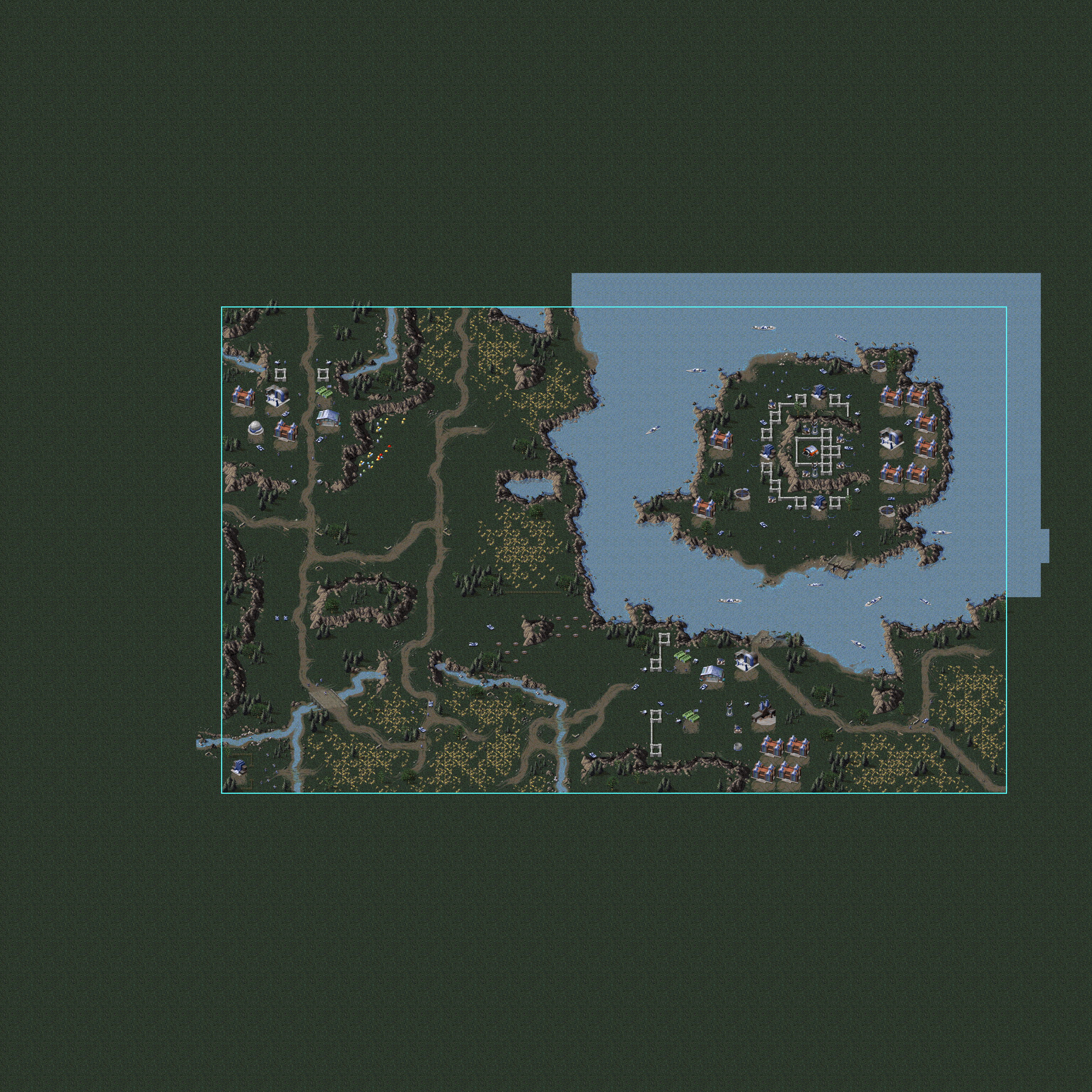
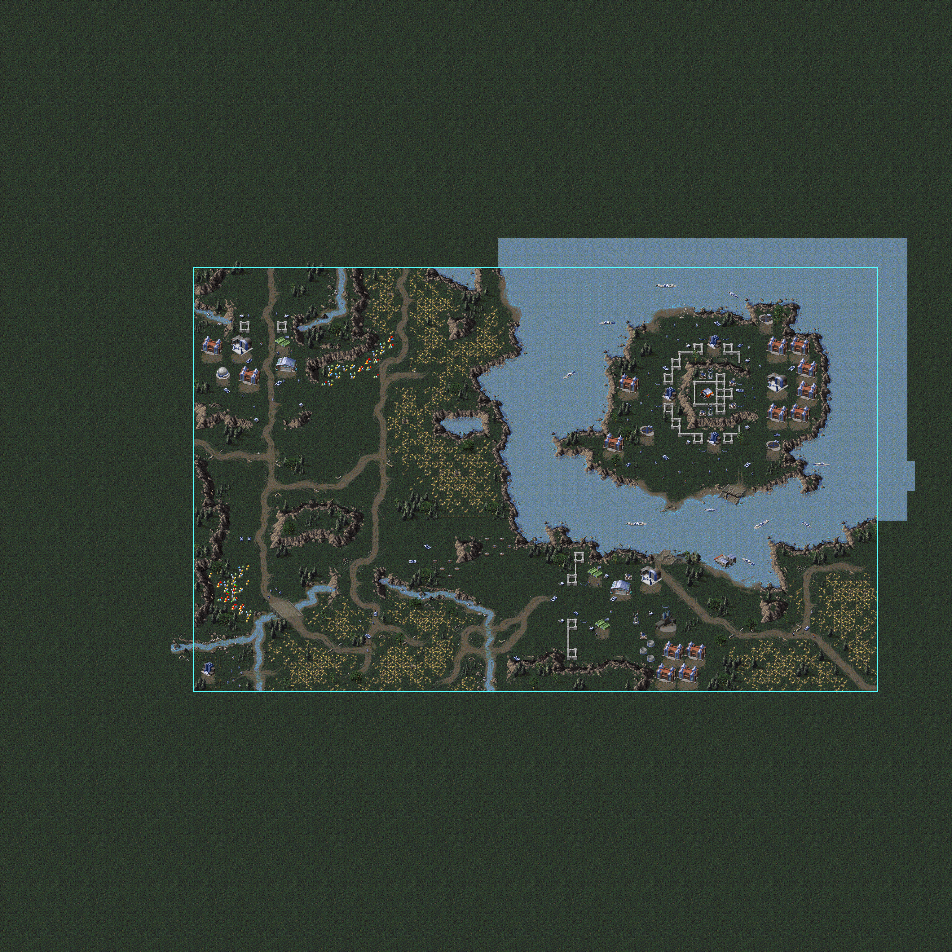
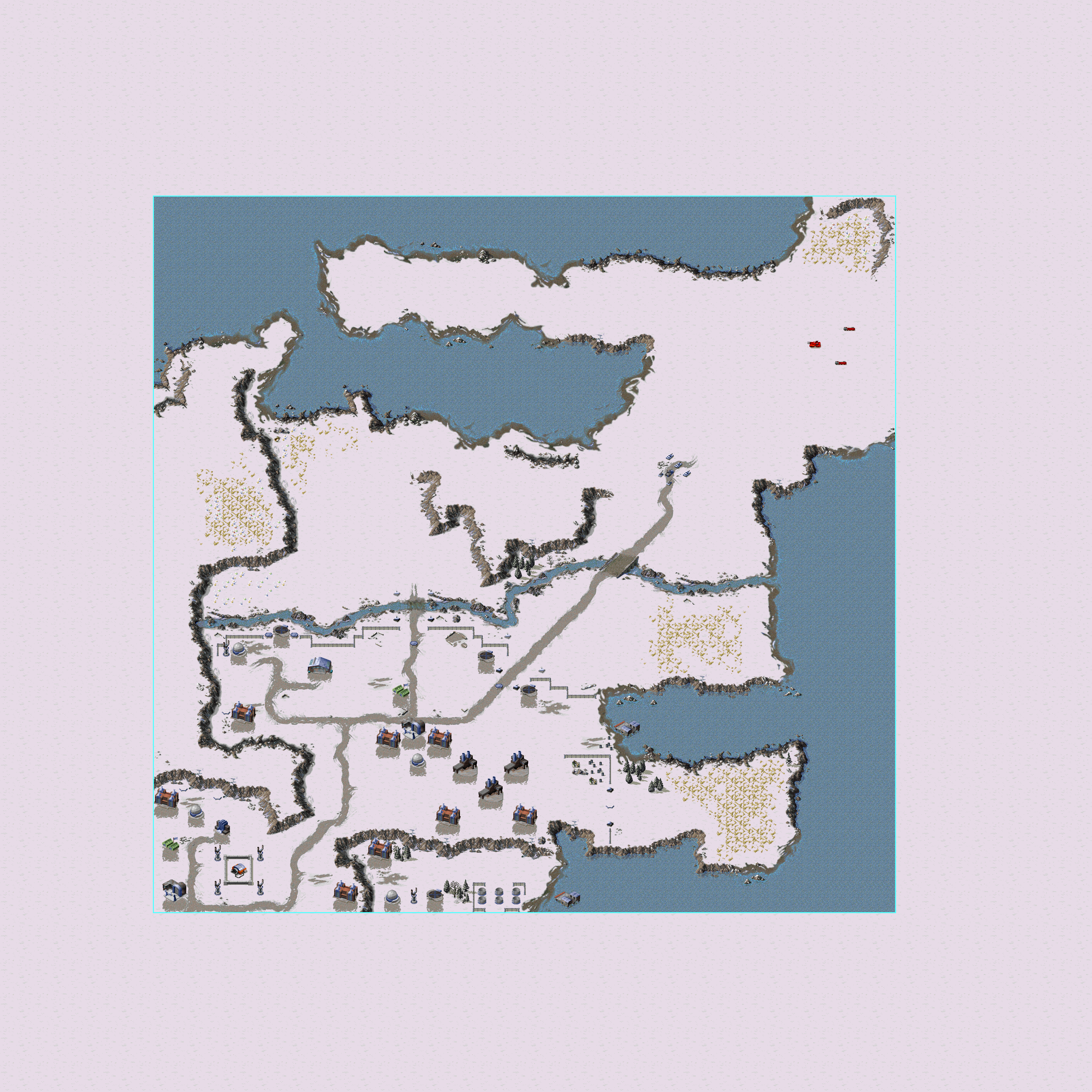
Map Name |
Differences |
Proto |
Final |
|---|---|---|---|
style="text-align: center; vertical-align: auto;"; |Soviet 01 |
|
||
style="text-align: center; vertical-align: auto;"; |Soviet 02 |
|
||
style="text-align: center; vertical-align: auto;"; |Soviet 02 |
|
||
style="text-align: center; vertical-align: auto;"; |Soviet 03 |
|
||
style="text-align: center; vertical-align: auto;"; |Soviet 04 |
|
||
style="text-align: center; vertical-align: auto;"; |Soviet 04 |
|||
style="text-align: center; vertical-align: auto;"; |Soviet 05 |
|||
style="text-align: center; vertical-align: auto;"; |Soviet 06 |
|
||
style="text-align: center; vertical-align: auto;"; |Soviet 06 |
|
||
style="text-align: center; vertical-align: auto;"; |Soviet 07 |
|||
style="text-align: center; vertical-align: auto;"; |Soviet 08 |
|||
style="text-align: center; vertical-align: auto;"; |Soviet 08 |
|||
style="text-align: center; vertical-align: auto;"; |Soviet 09 |
|
||
style="text-align: center; vertical-align: auto;"; |Soviet 10 |
|
||
style="text-align: center; vertical-align: auto;"; |Soviet 11 |
|||
style="text-align: center; vertical-align: auto;"; |Soviet 11 |
|||
style="text-align: center; vertical-align: auto;"; |Soviet 12 |
|||
style="text-align: center; vertical-align: auto;"; |Soviet 13 |
|||
style="text-align: center; vertical-align: auto;"; |Soviet 13 |
|||
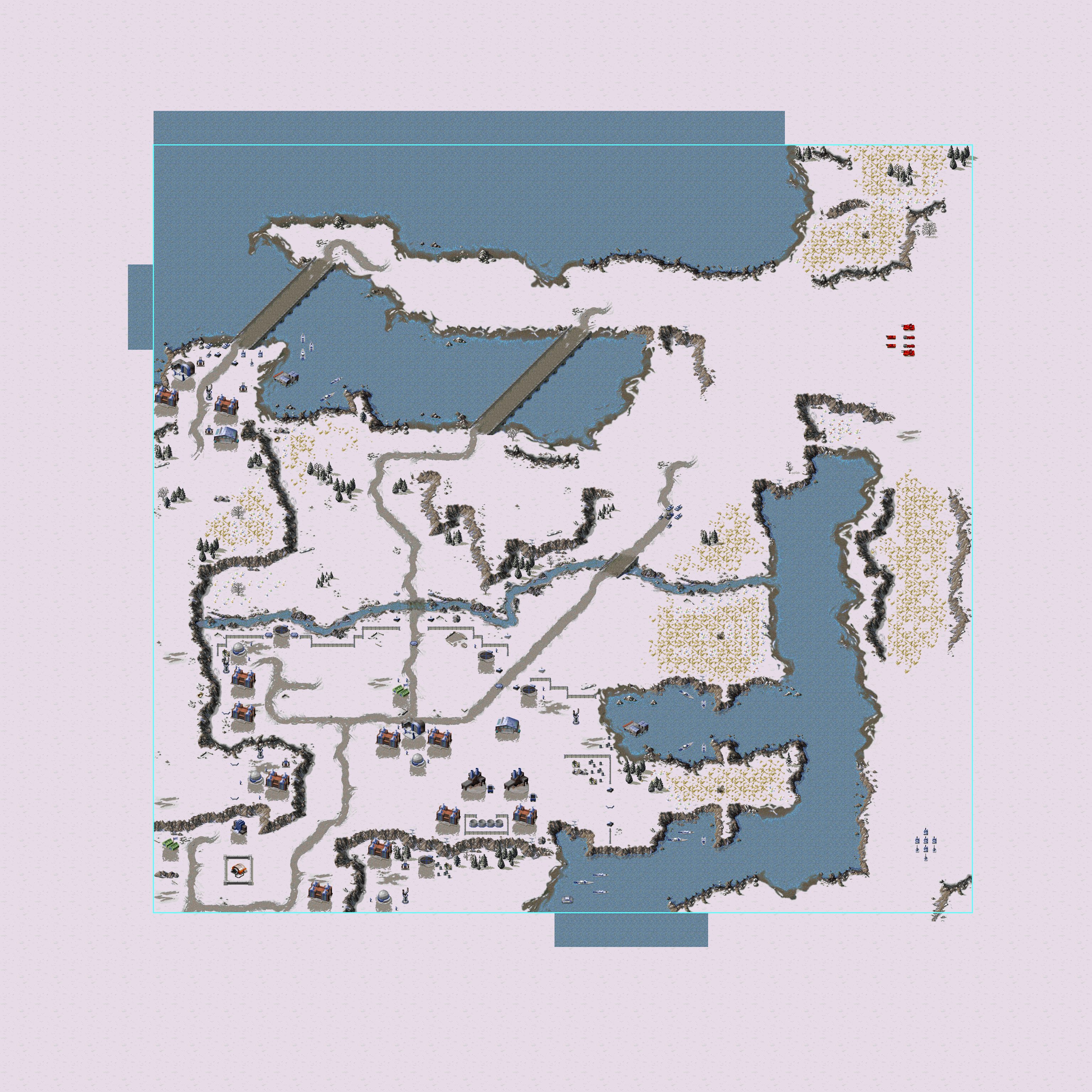
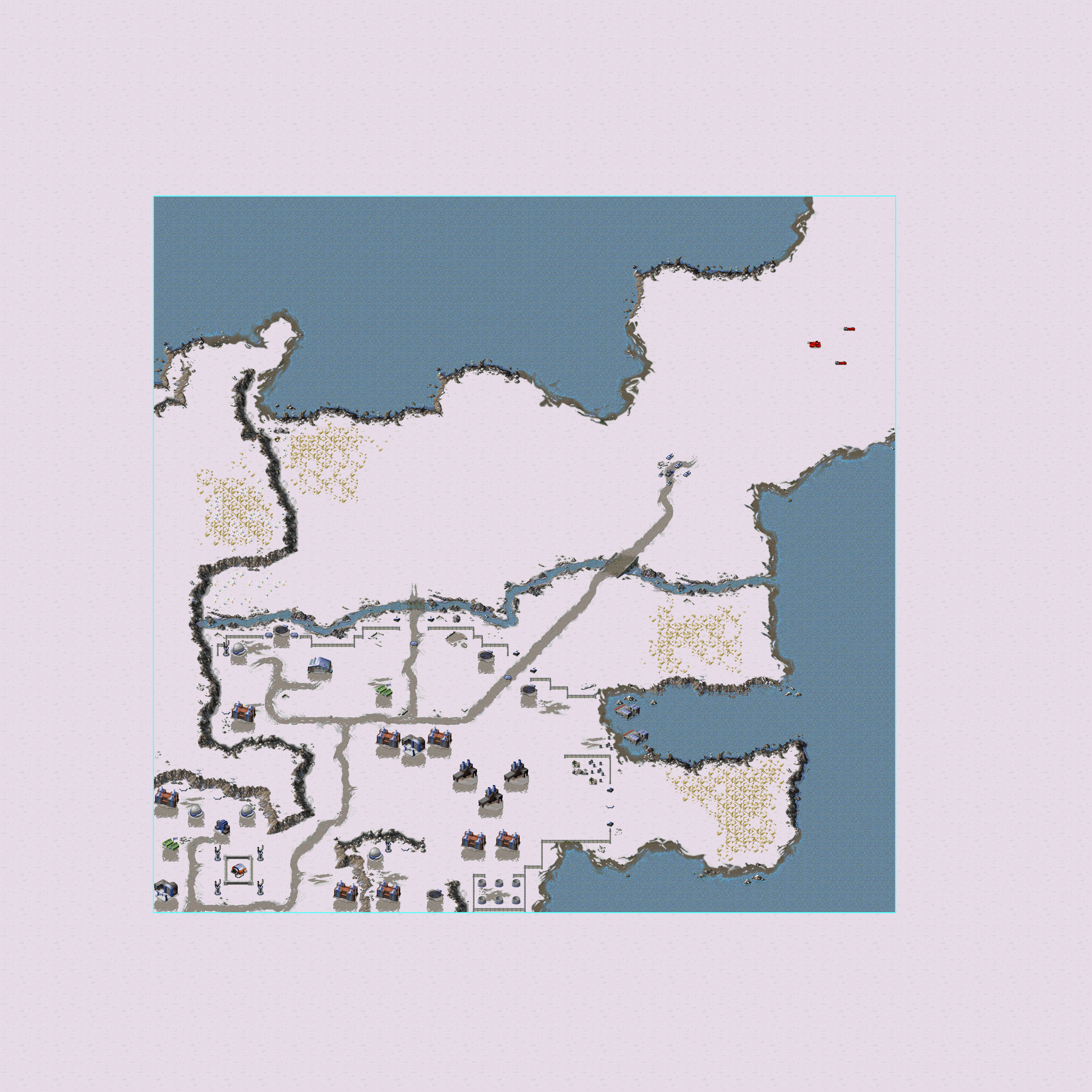
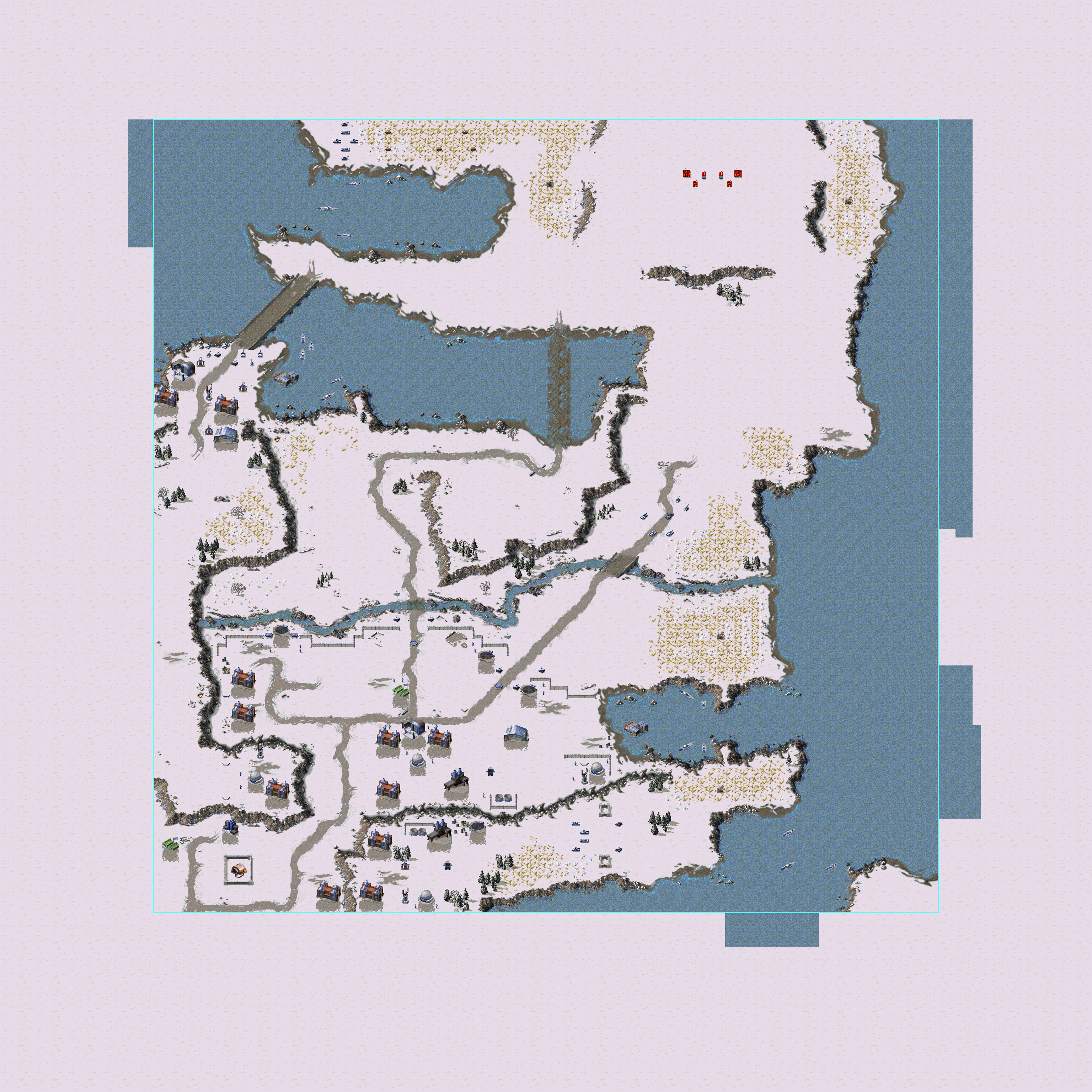
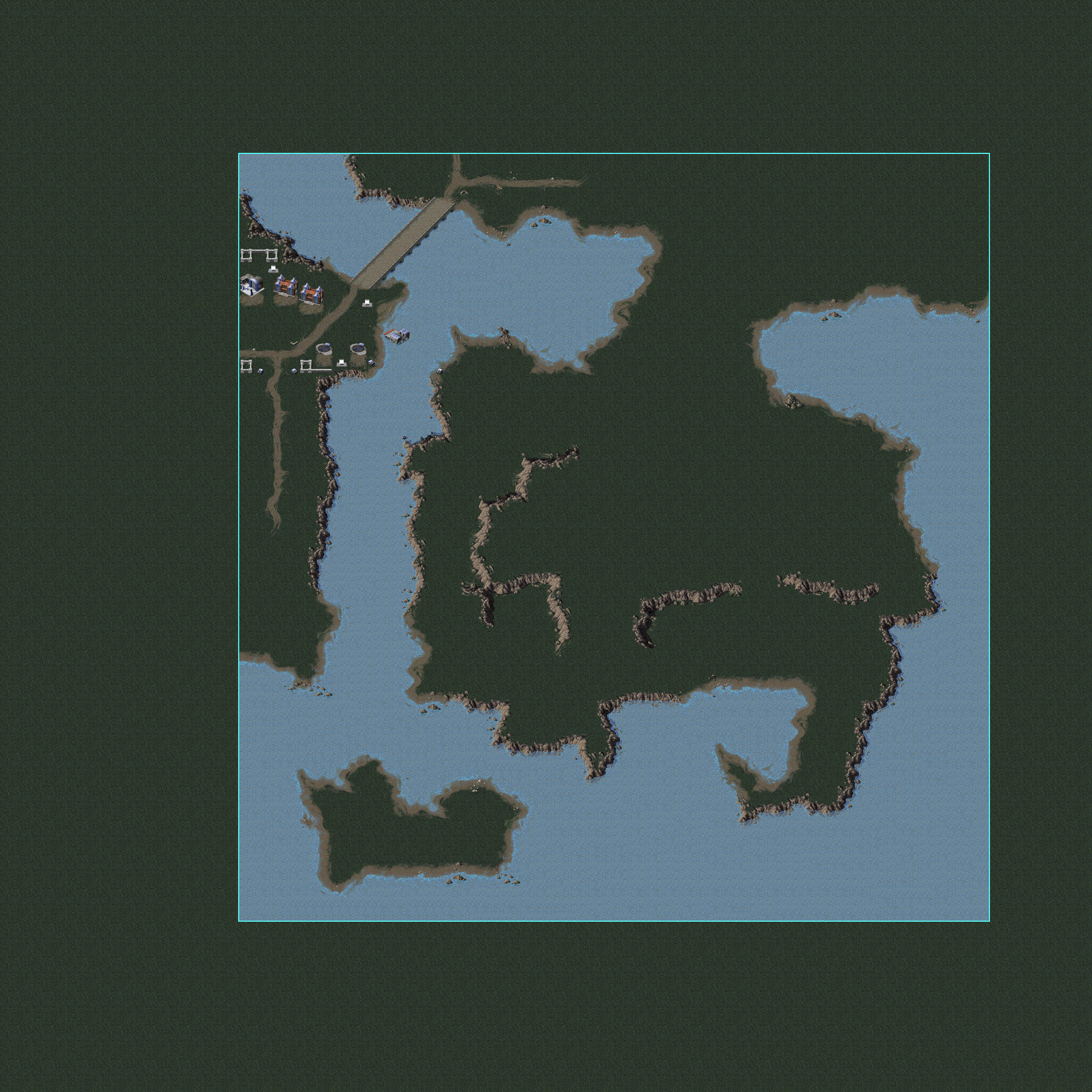
style="text-align: center; vertical-align: auto;"; |Soviet 14 |
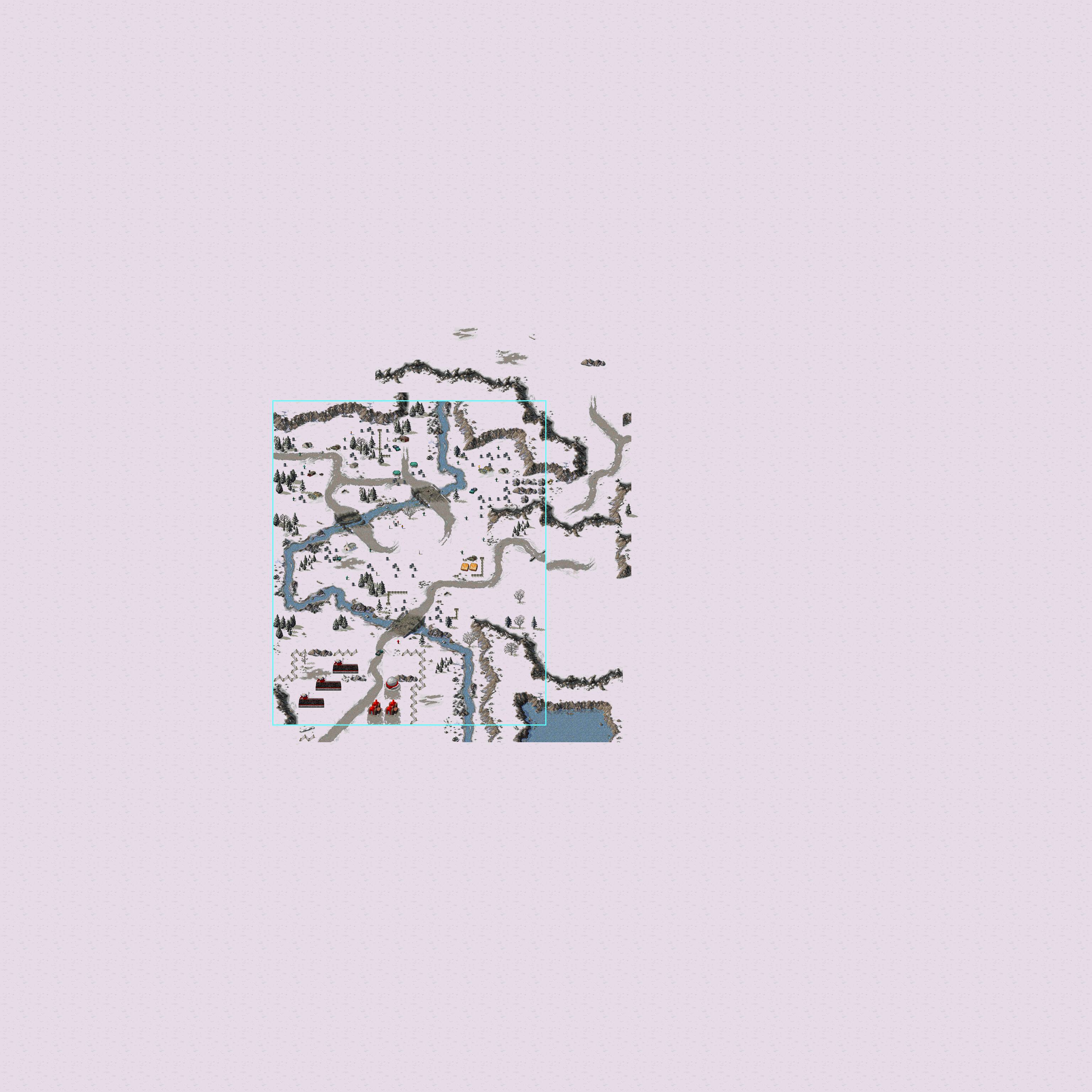

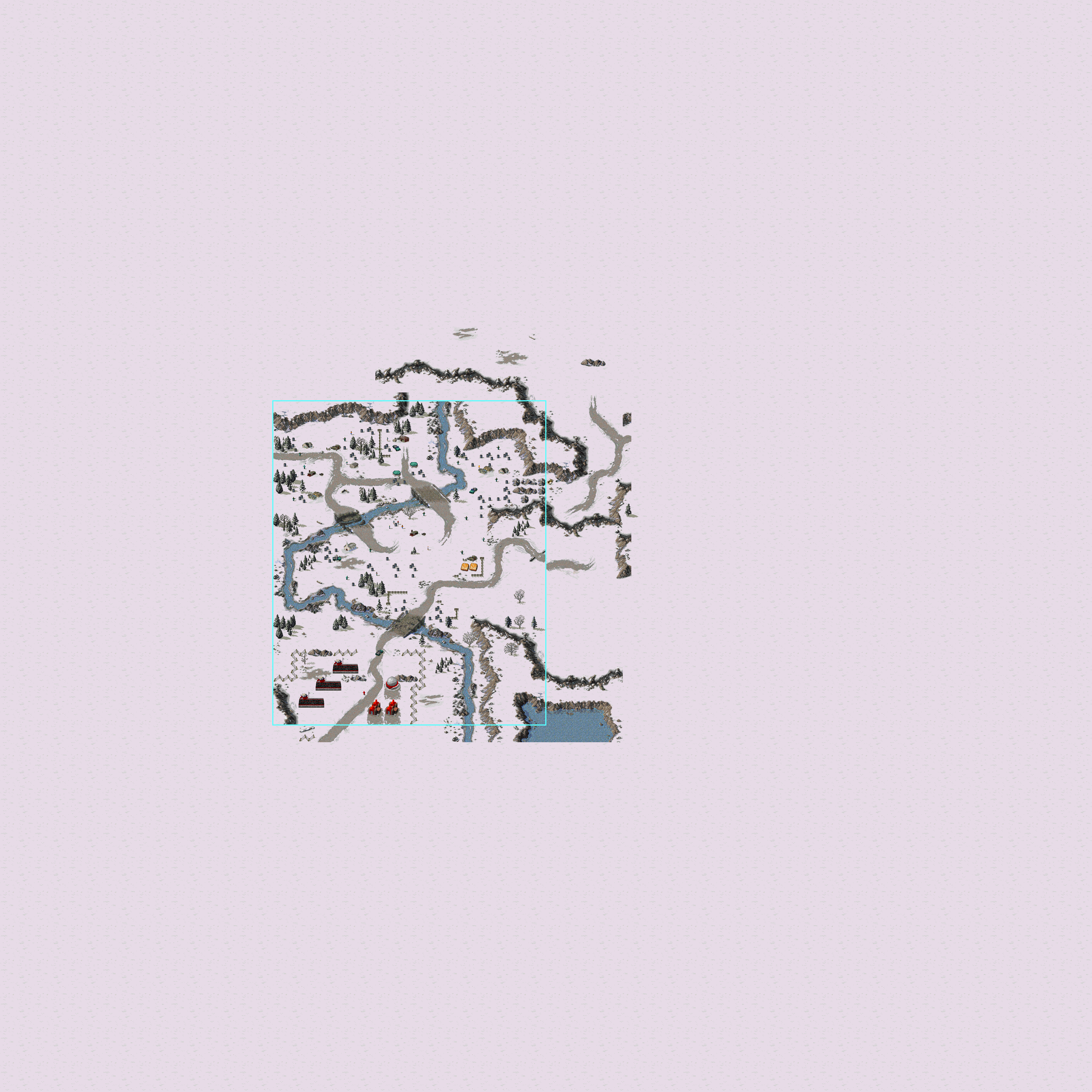
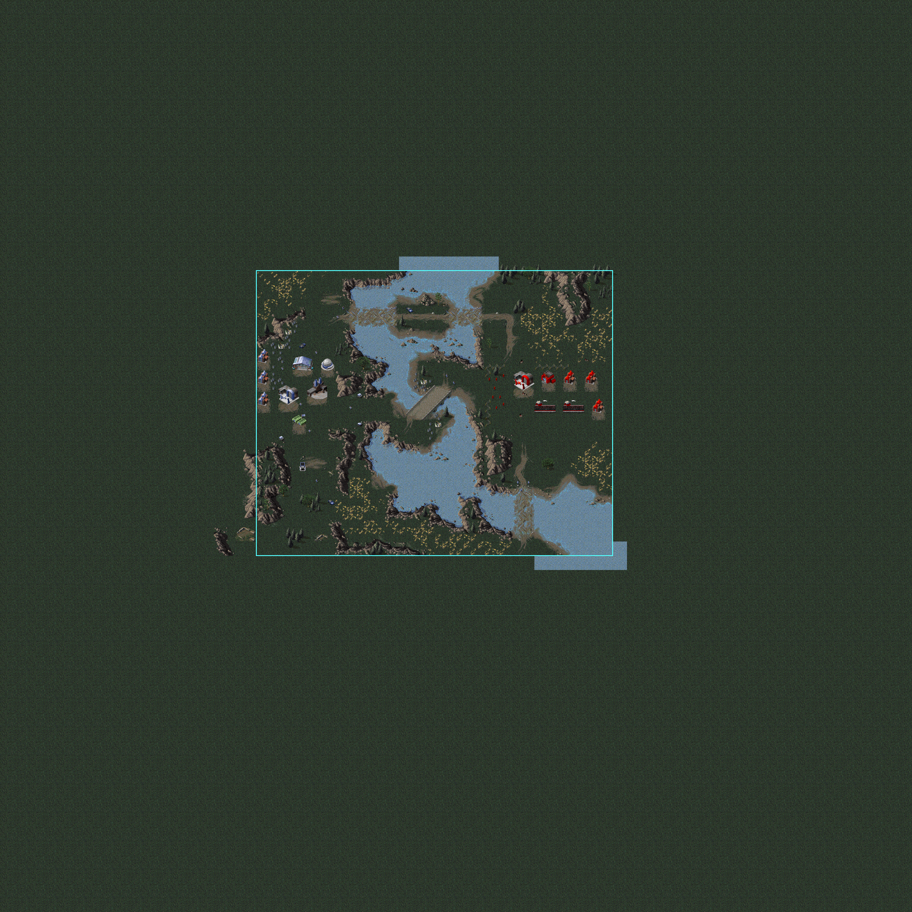

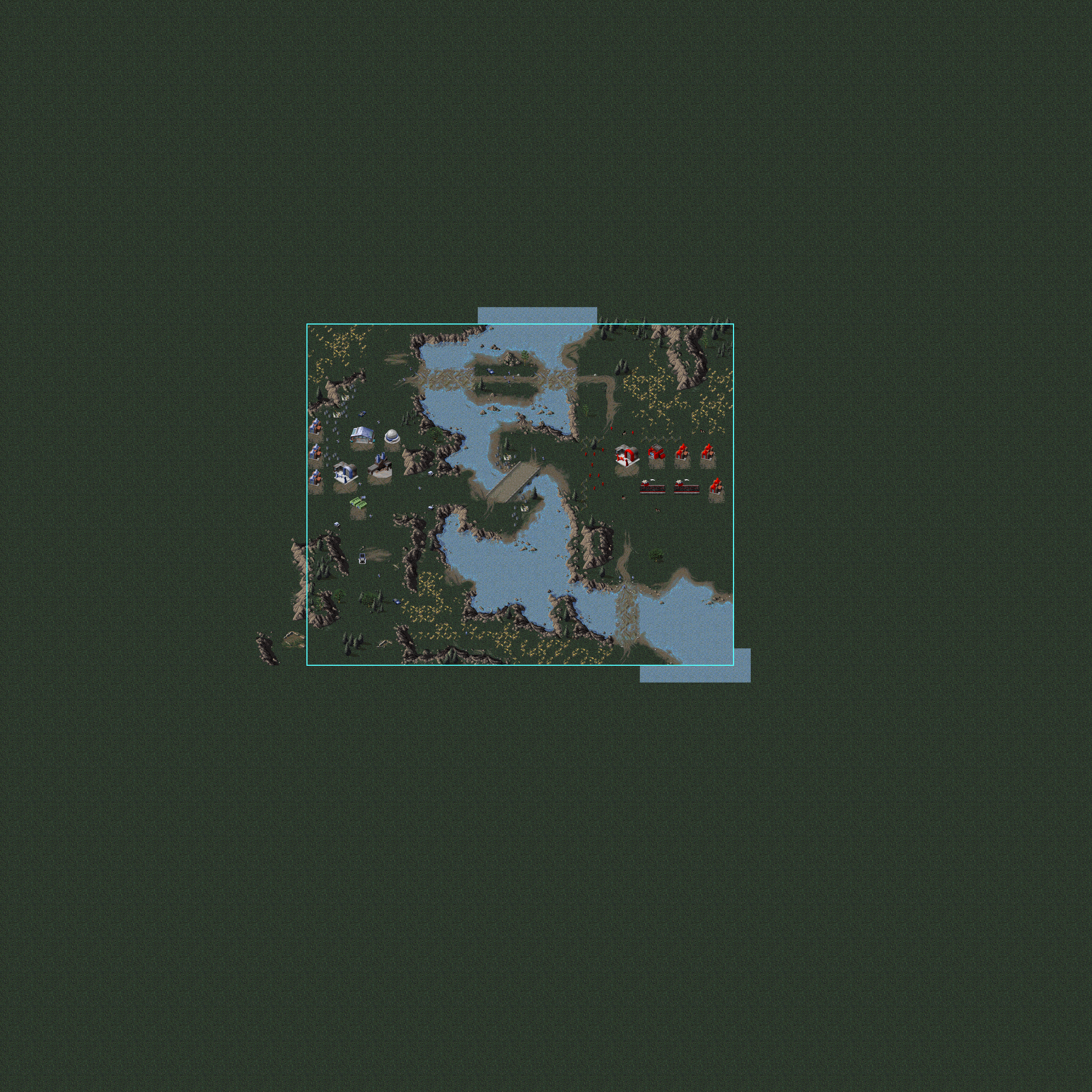
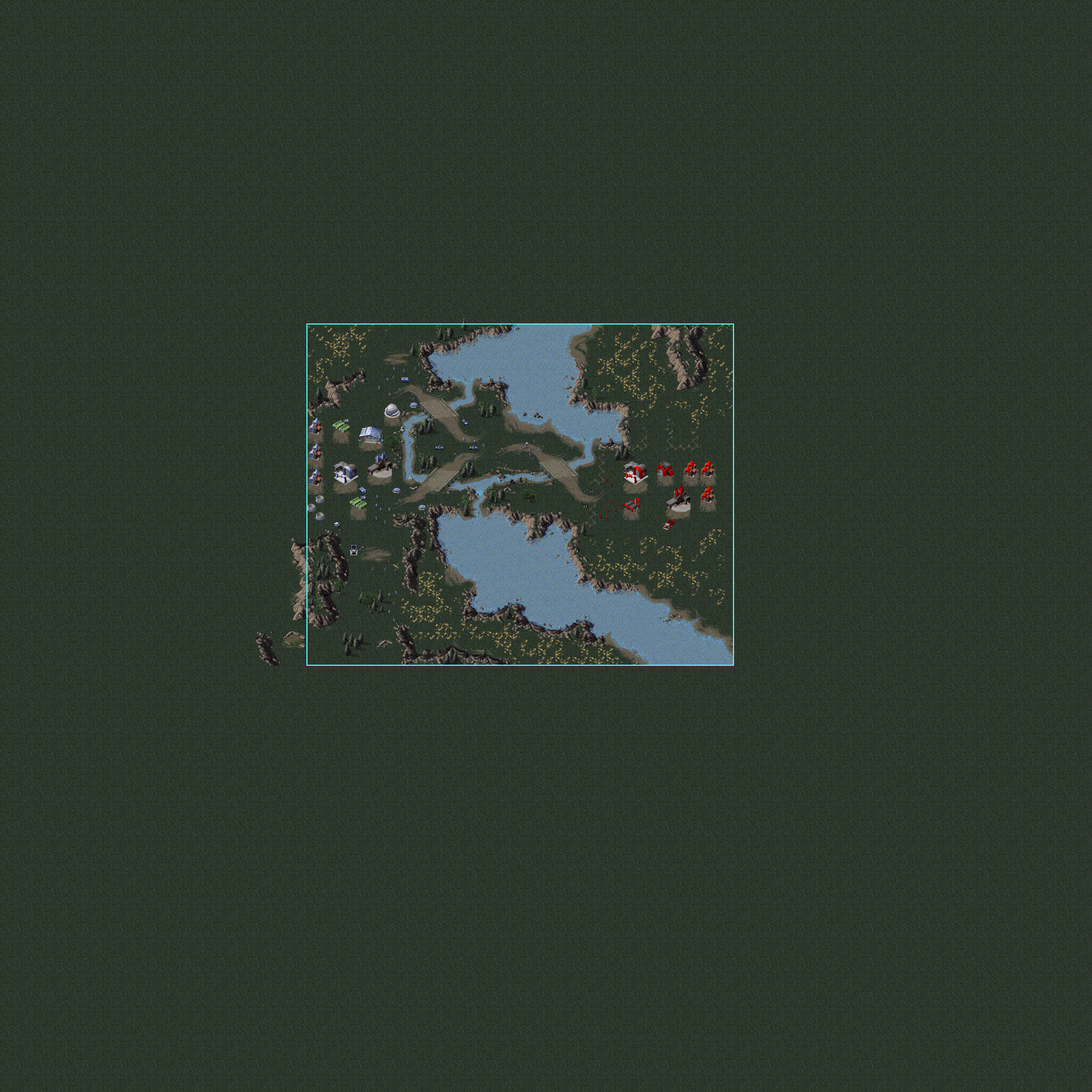




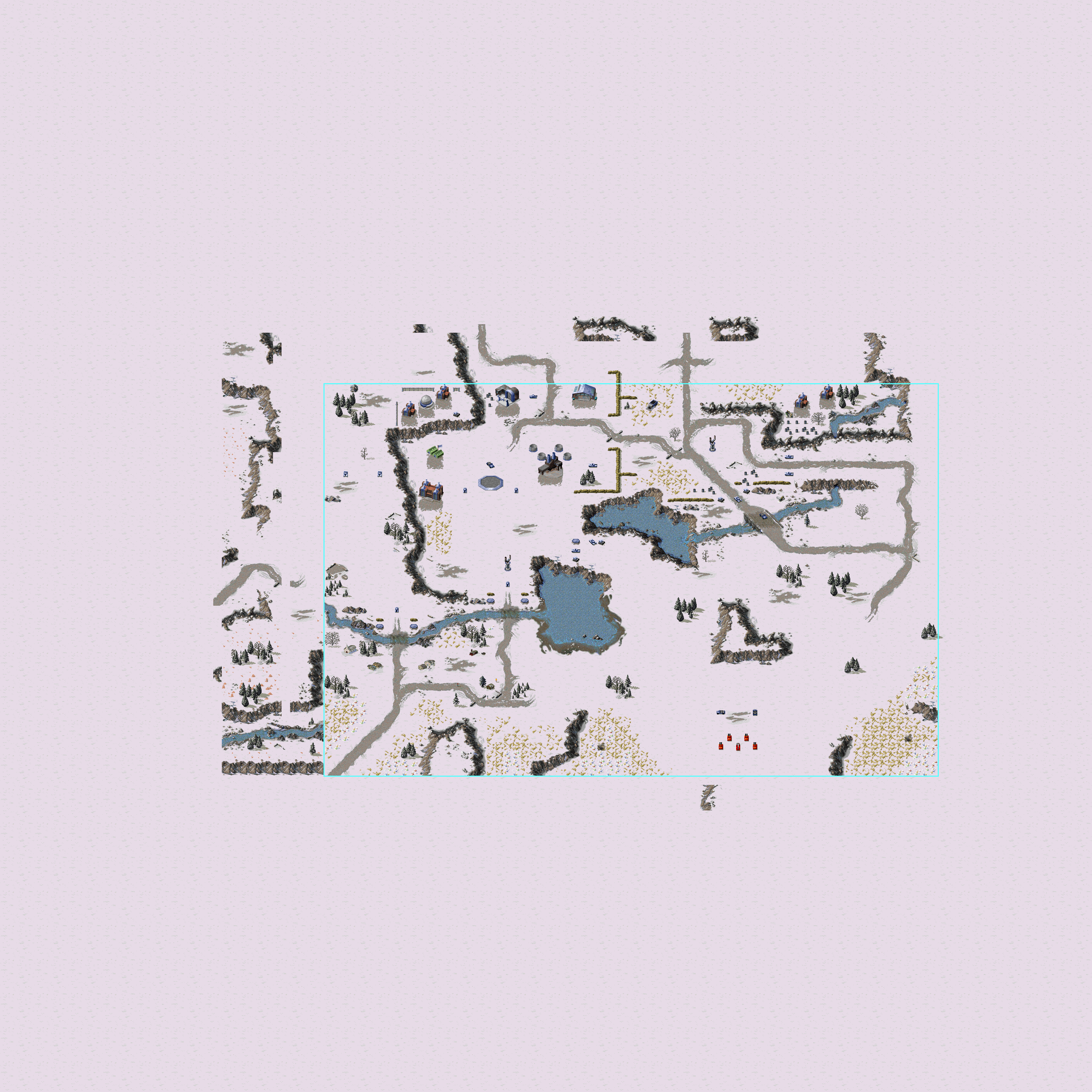

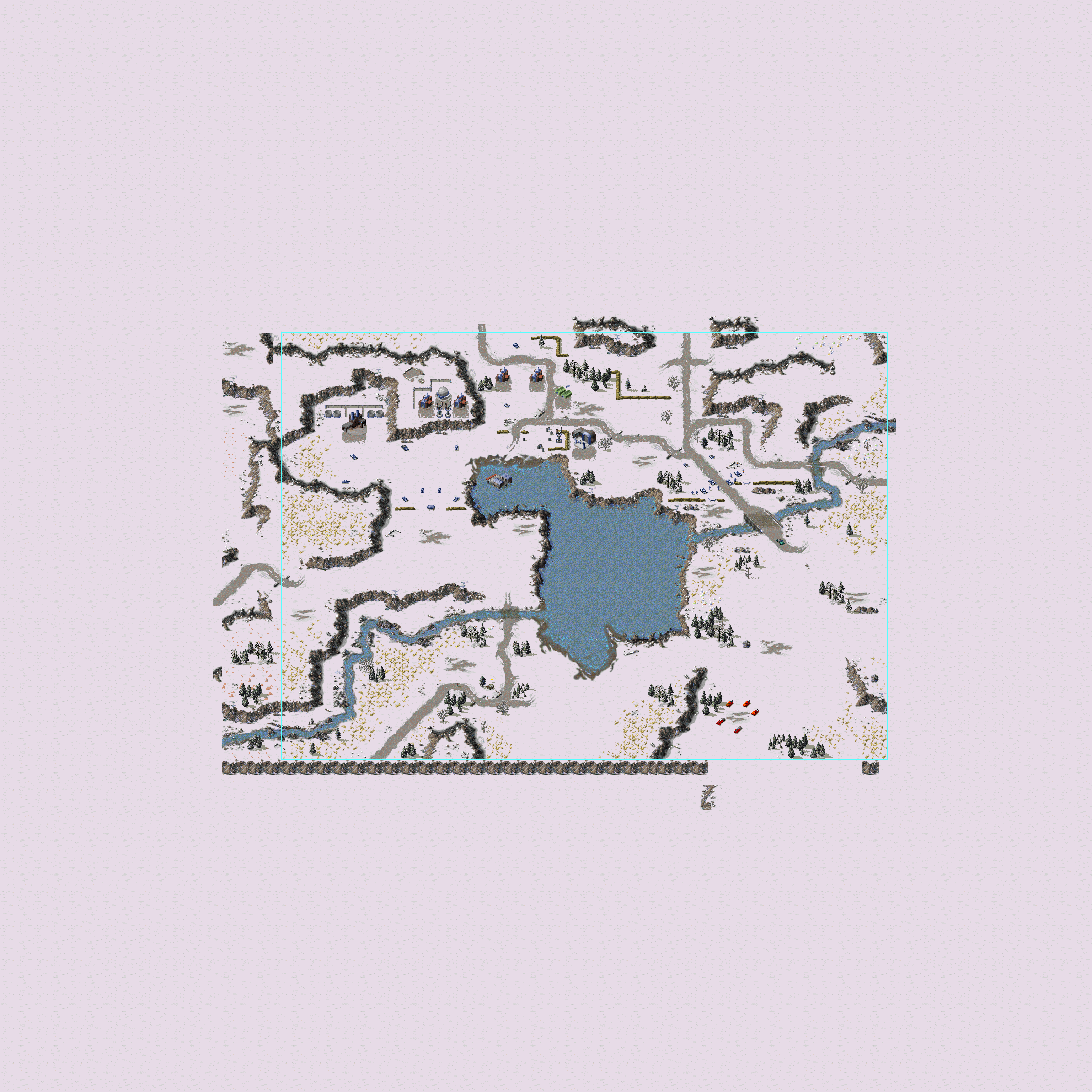

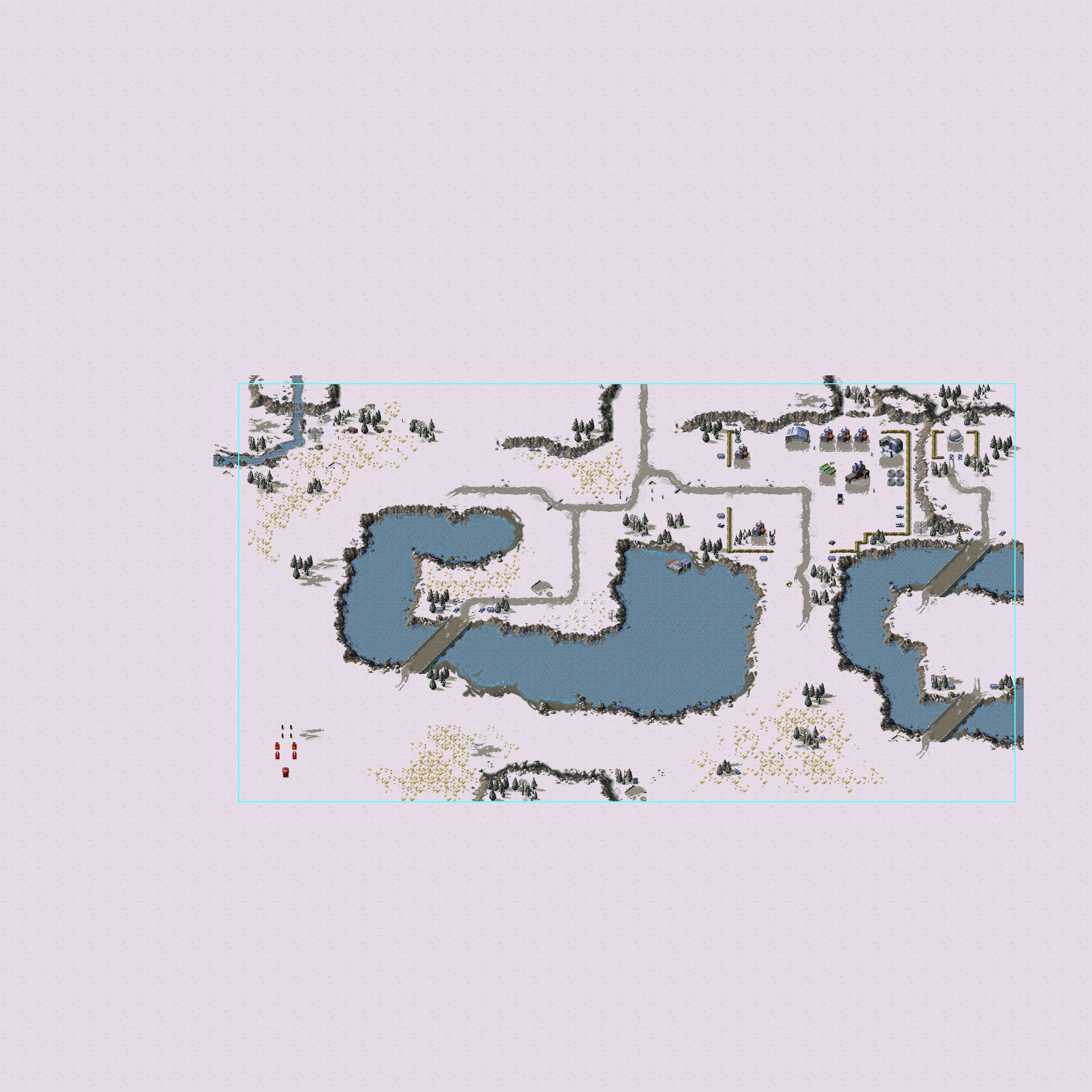

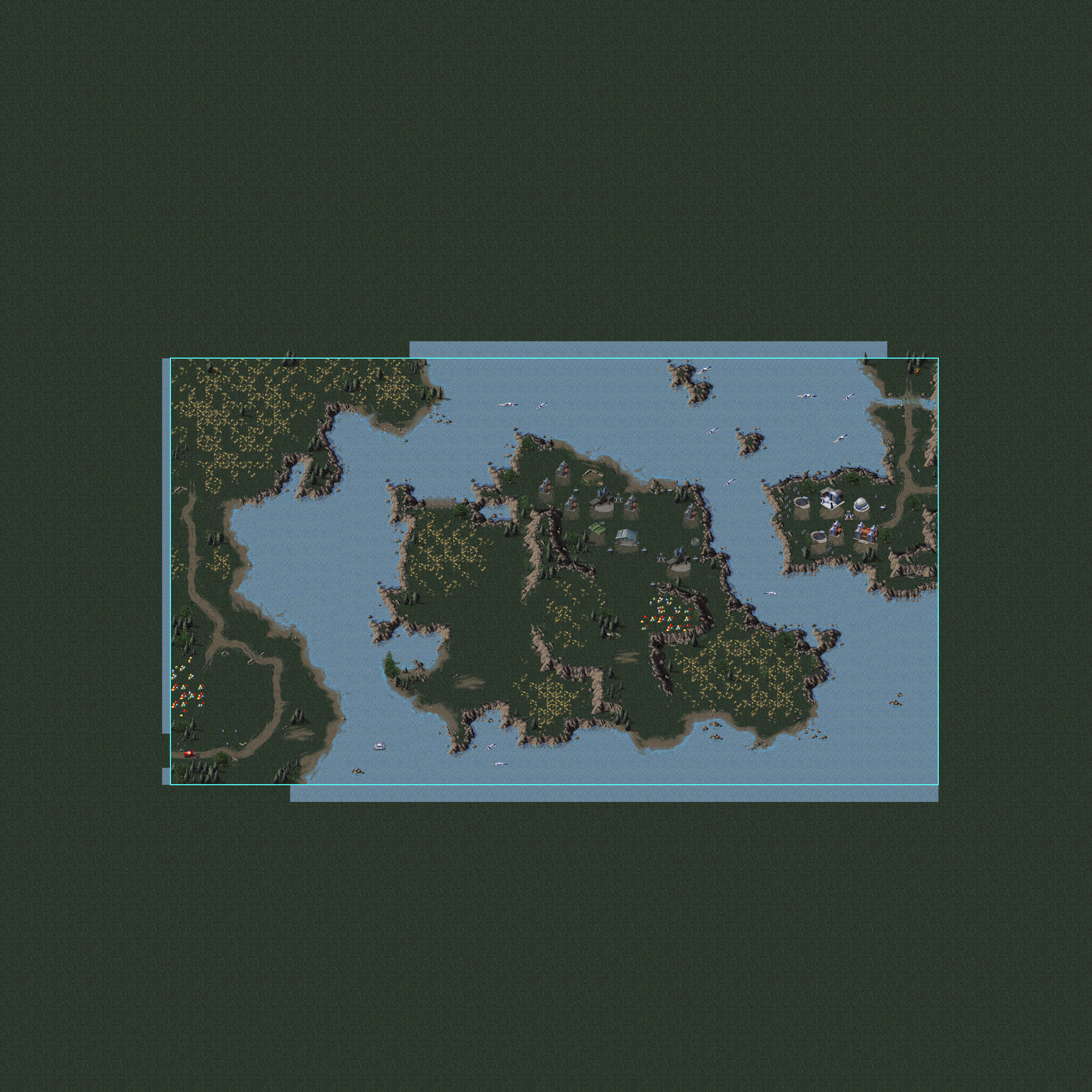








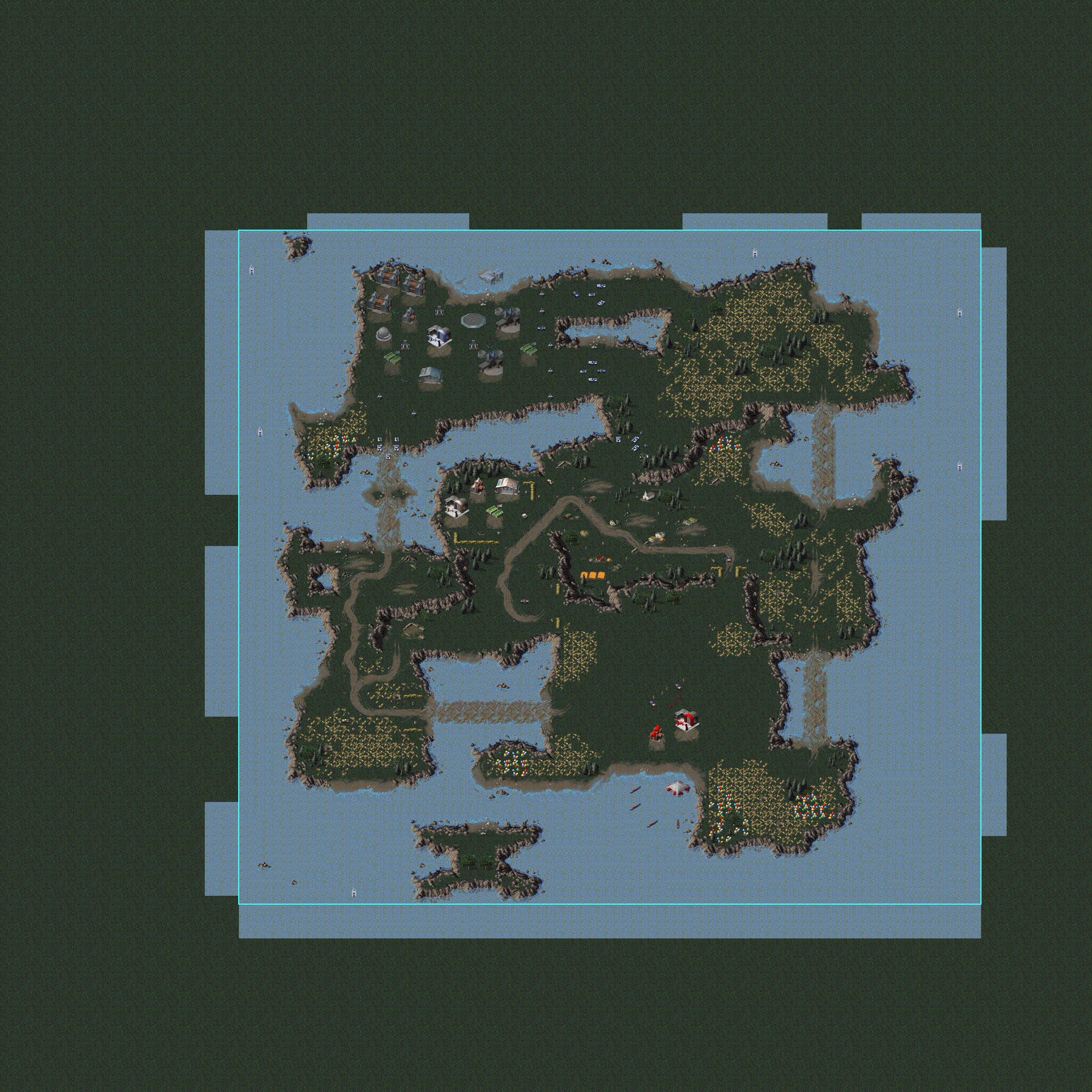

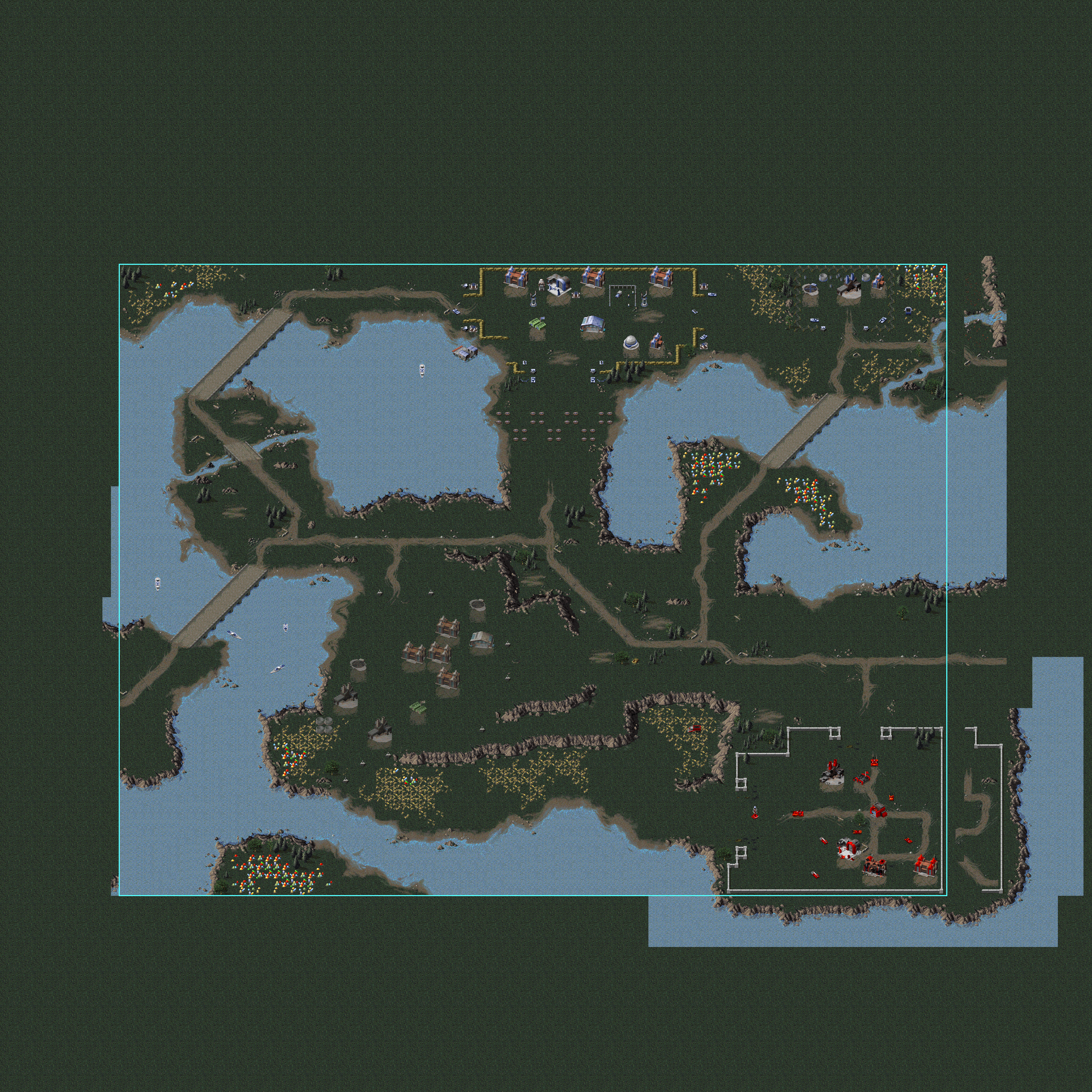

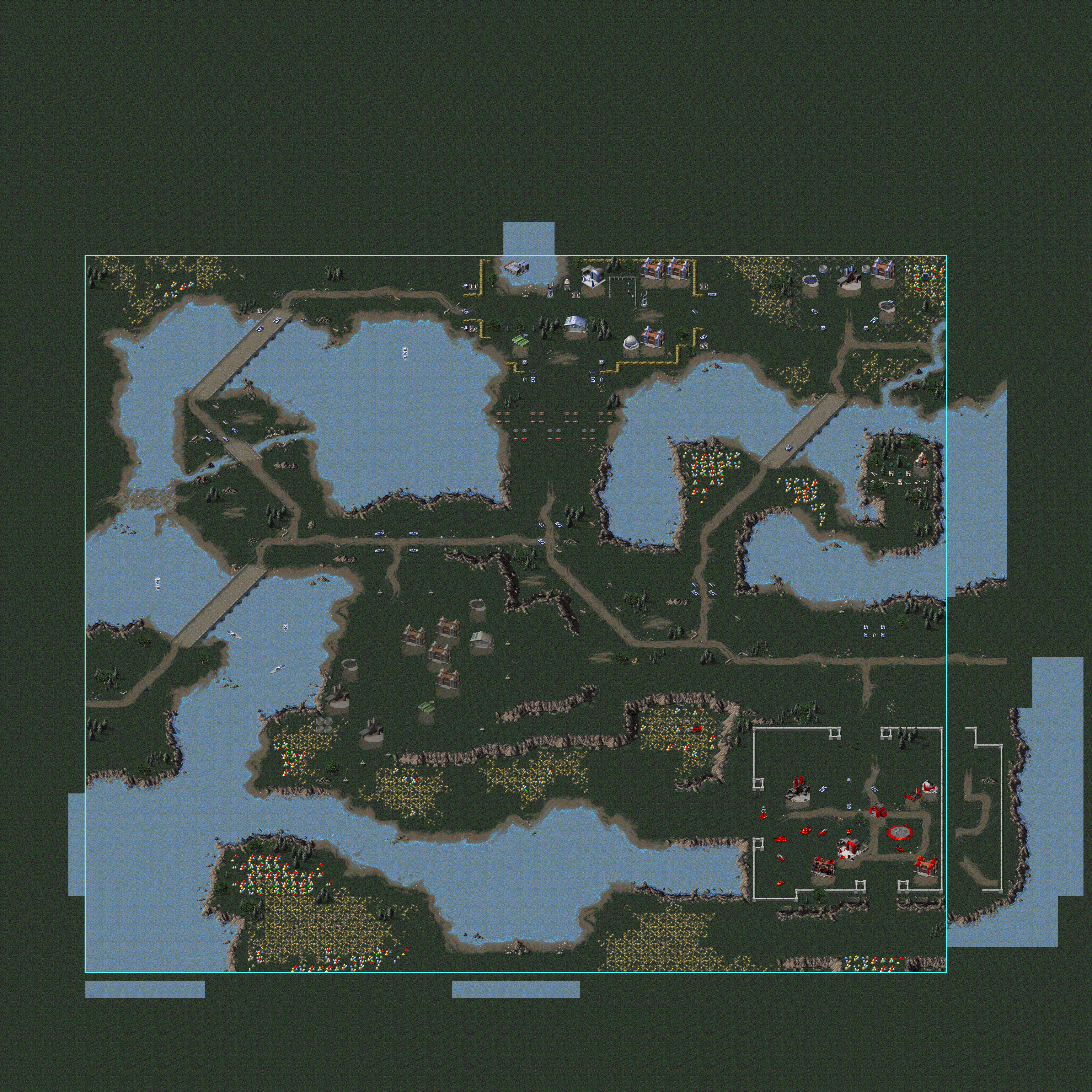

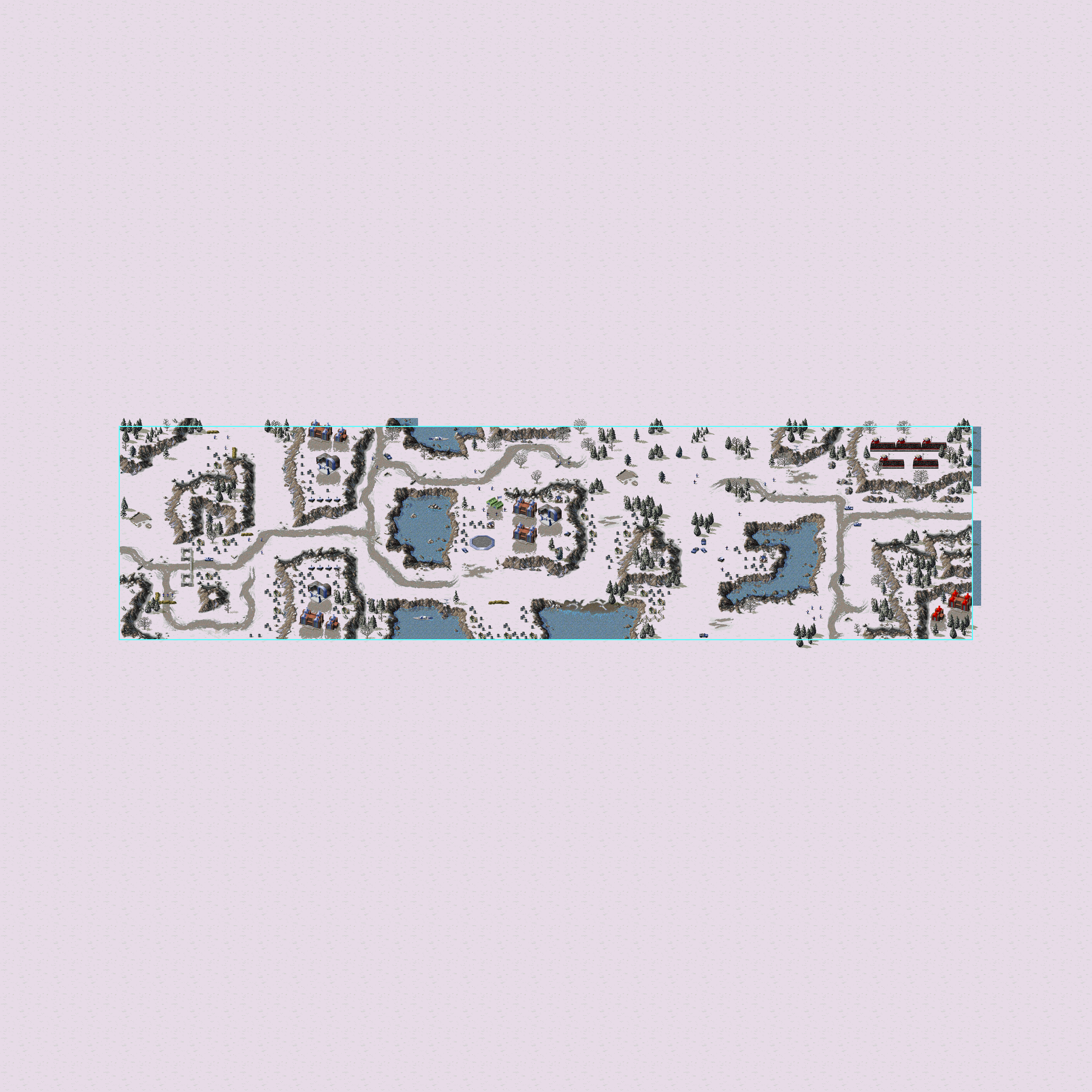

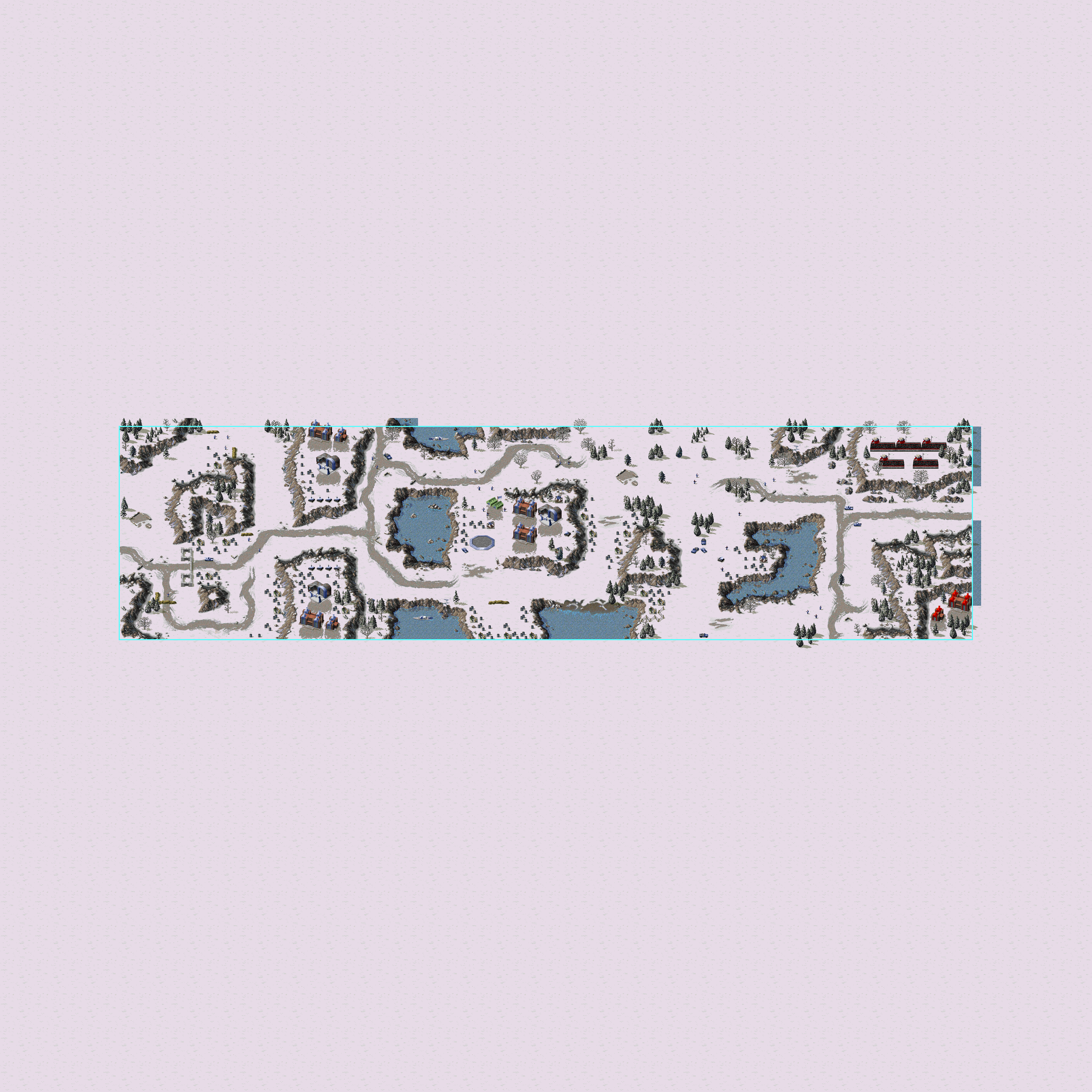
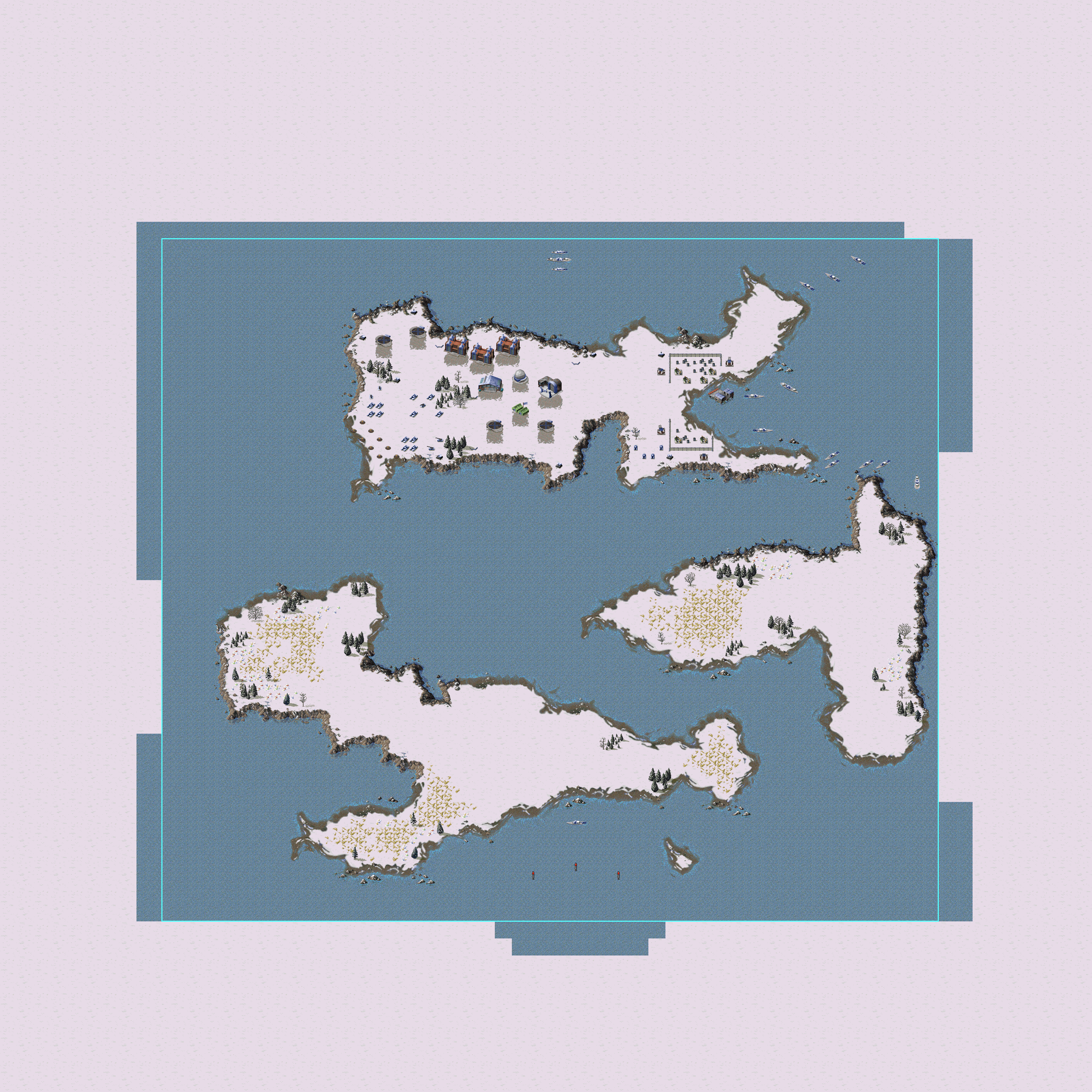

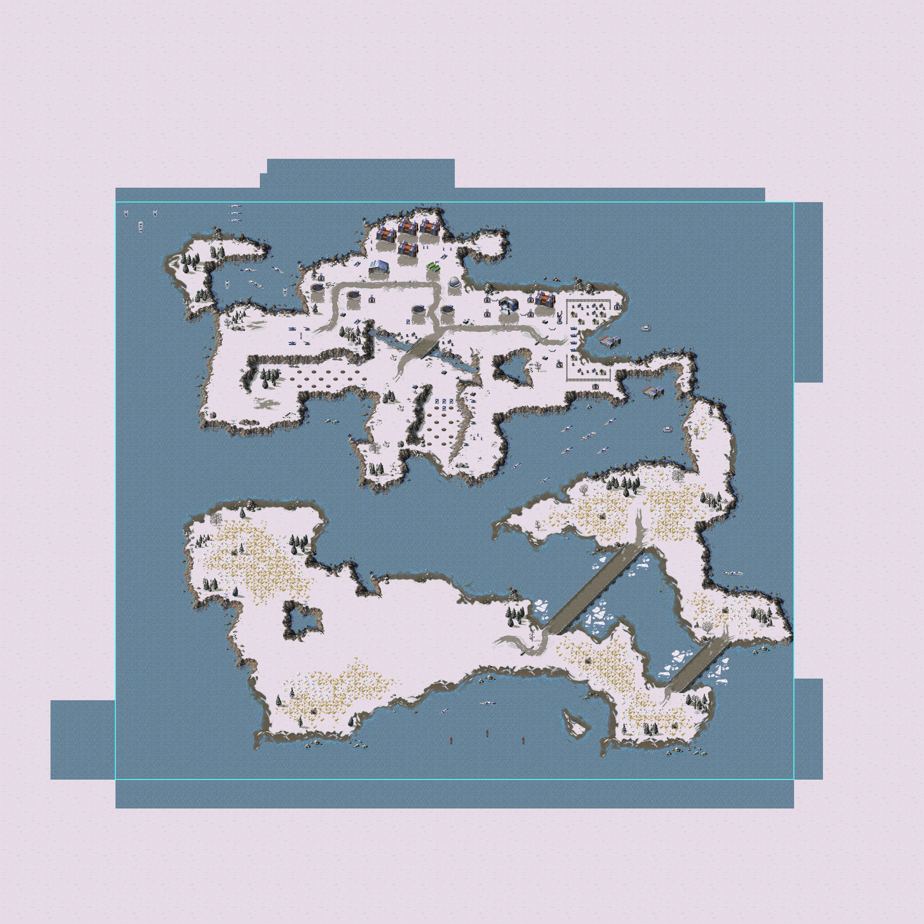

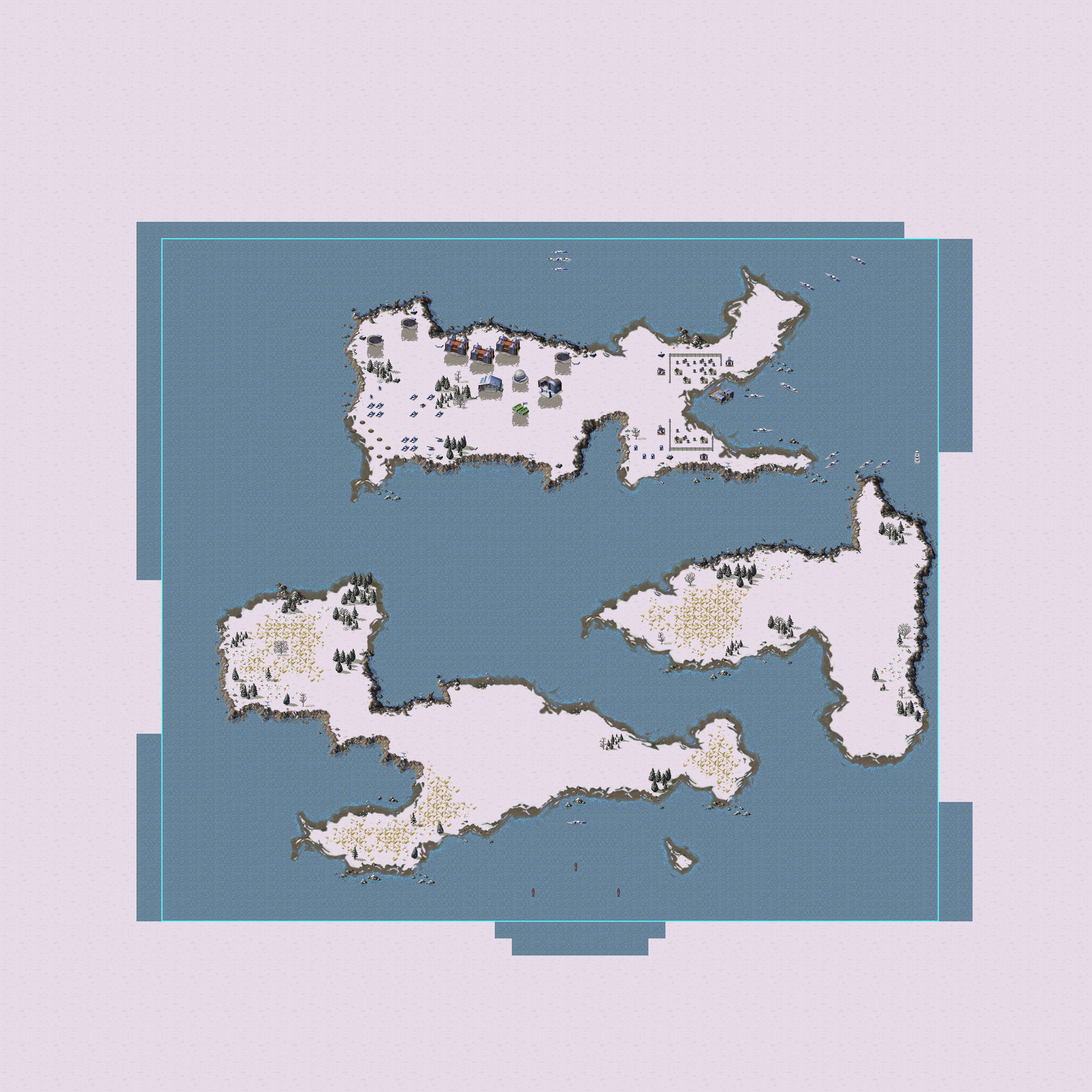








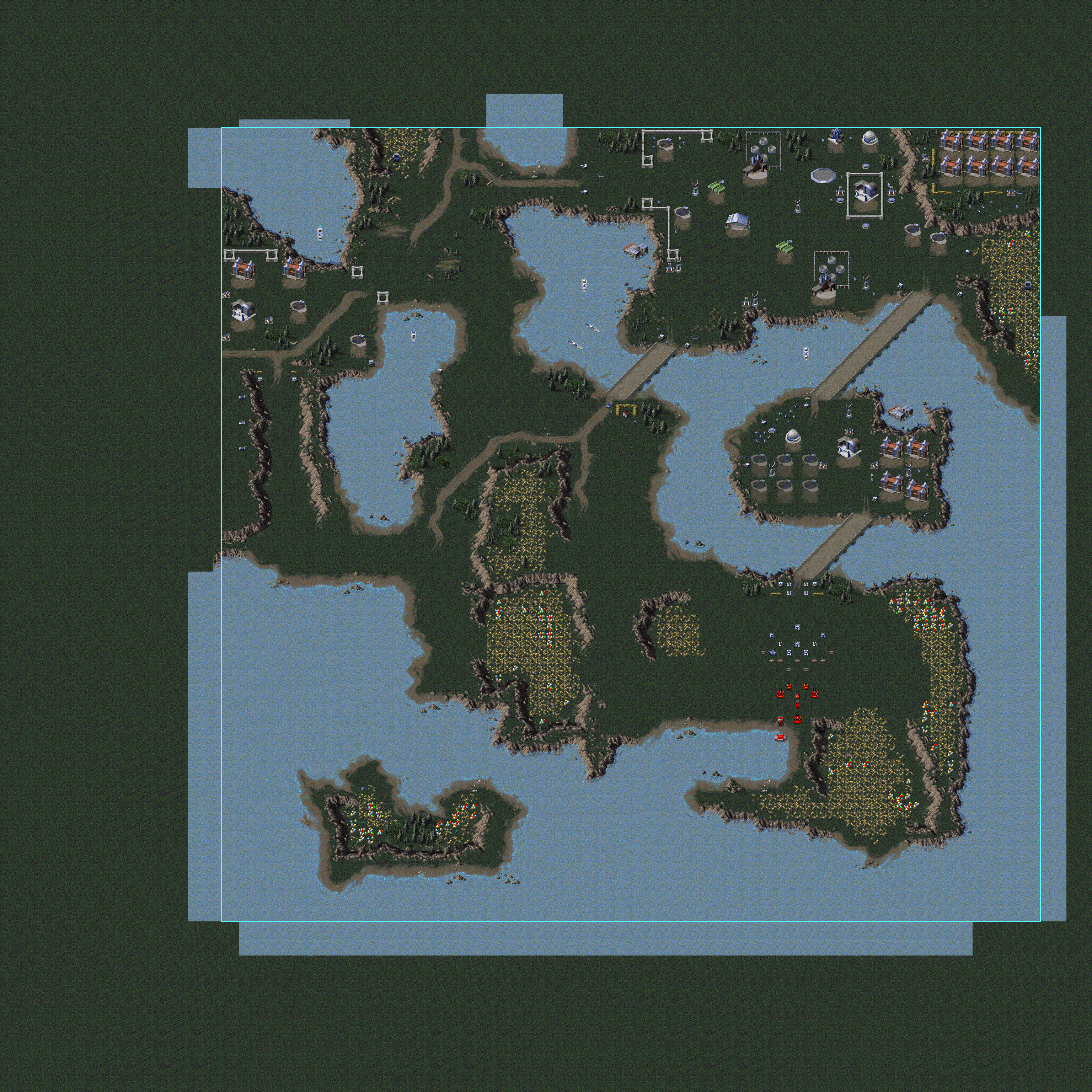

Counter-Strike, Soviet
Map Name |
Description |
Map |
|---|---|---|
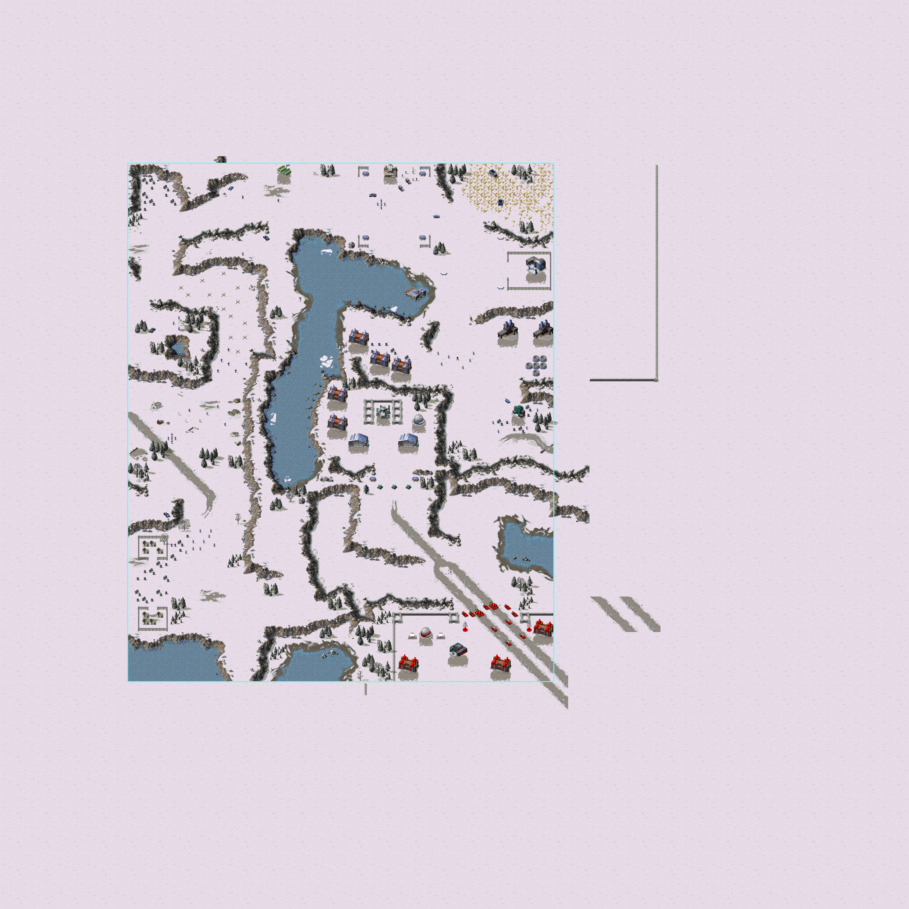
style="text-align: center; vertical-align: auto;"; |Counterstrike - Soviet |
|
|
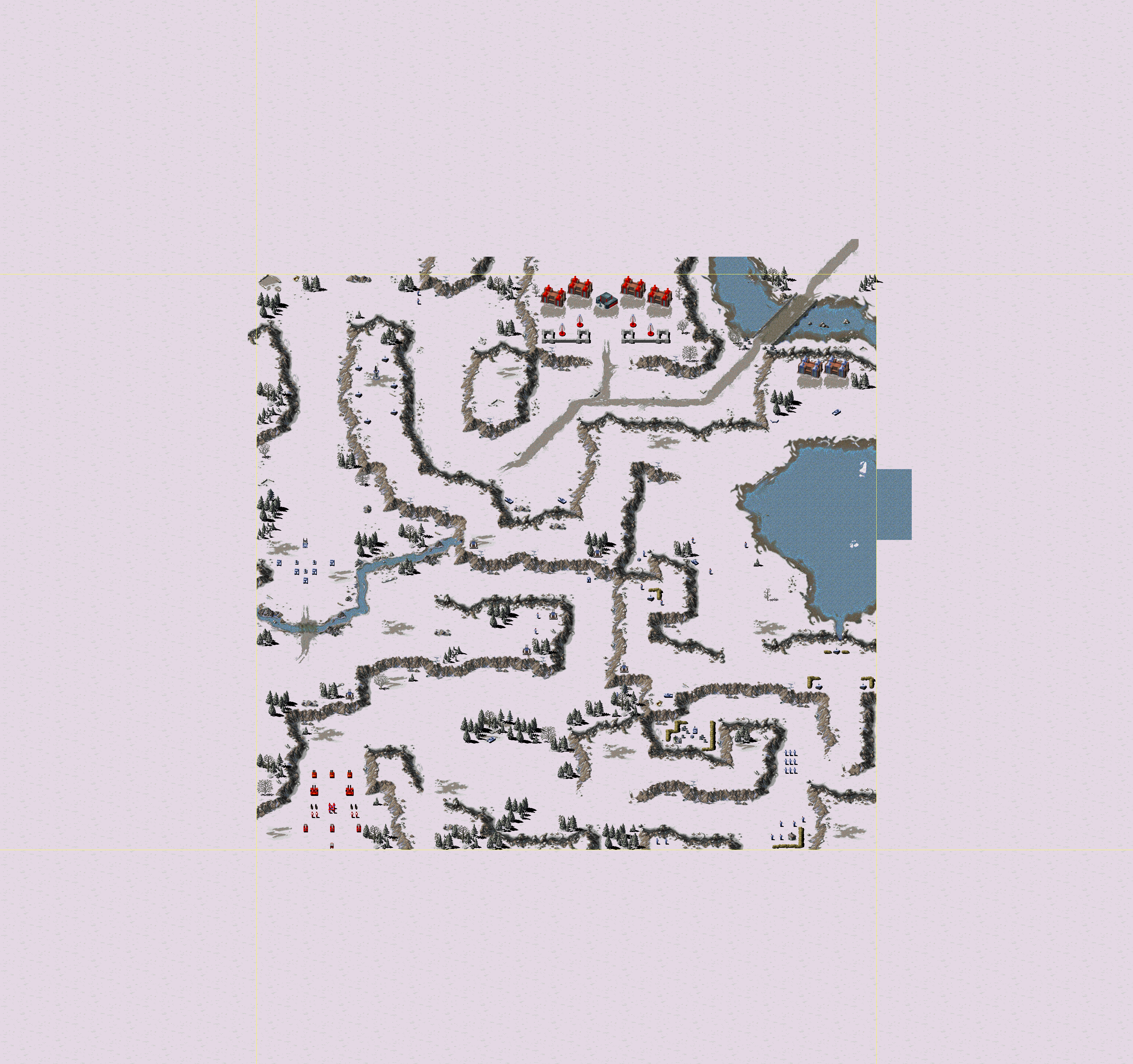
style="text-align: center; vertical-align: auto;"; |Counterstrike - Soviet |
|
|
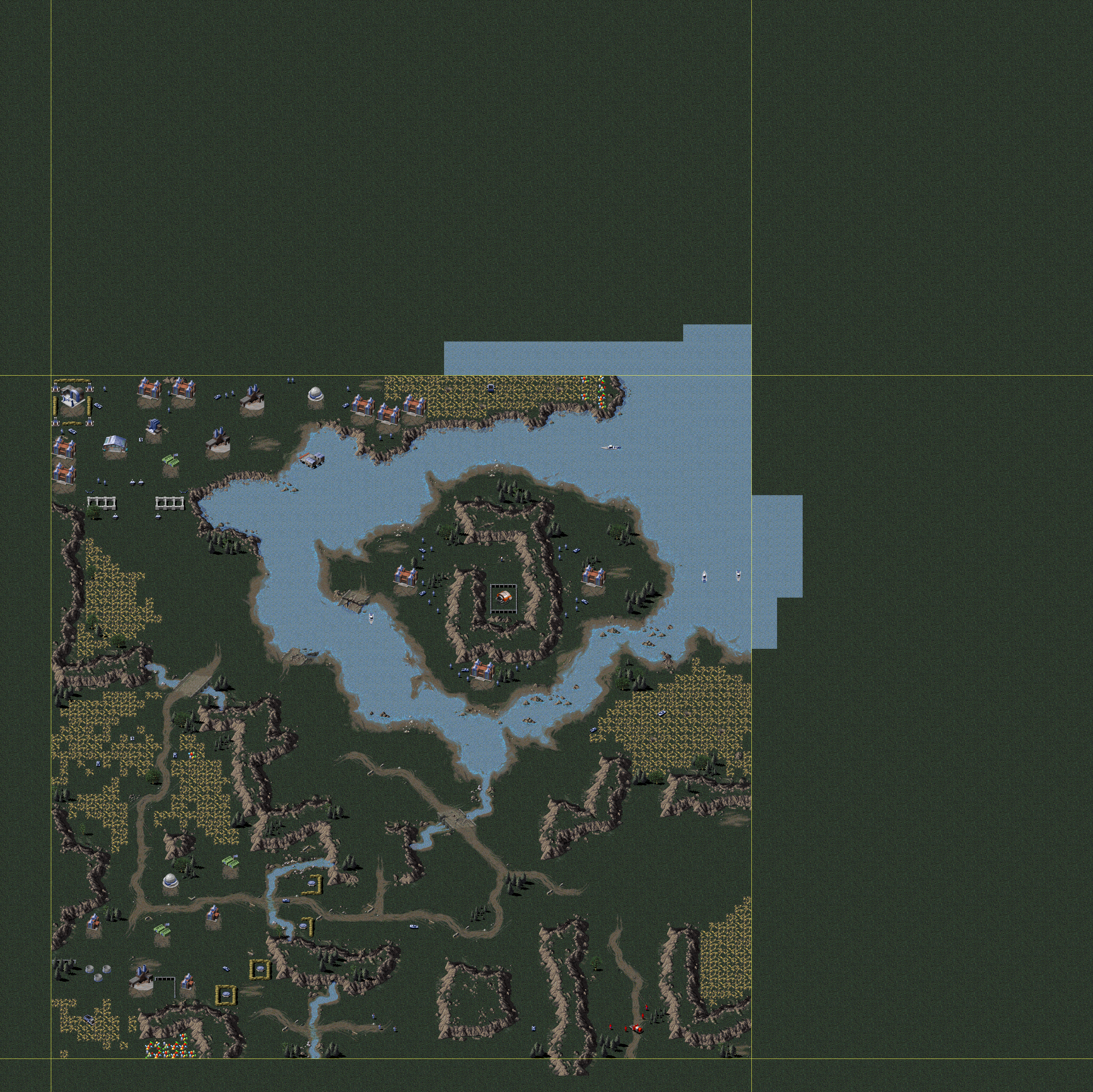
style="text-align: center; vertical-align: auto;"; |Counterstrike - Soviet |
|
|
style="text-align: center; vertical-align: auto;"; |Counterstrike - Soviet |
|



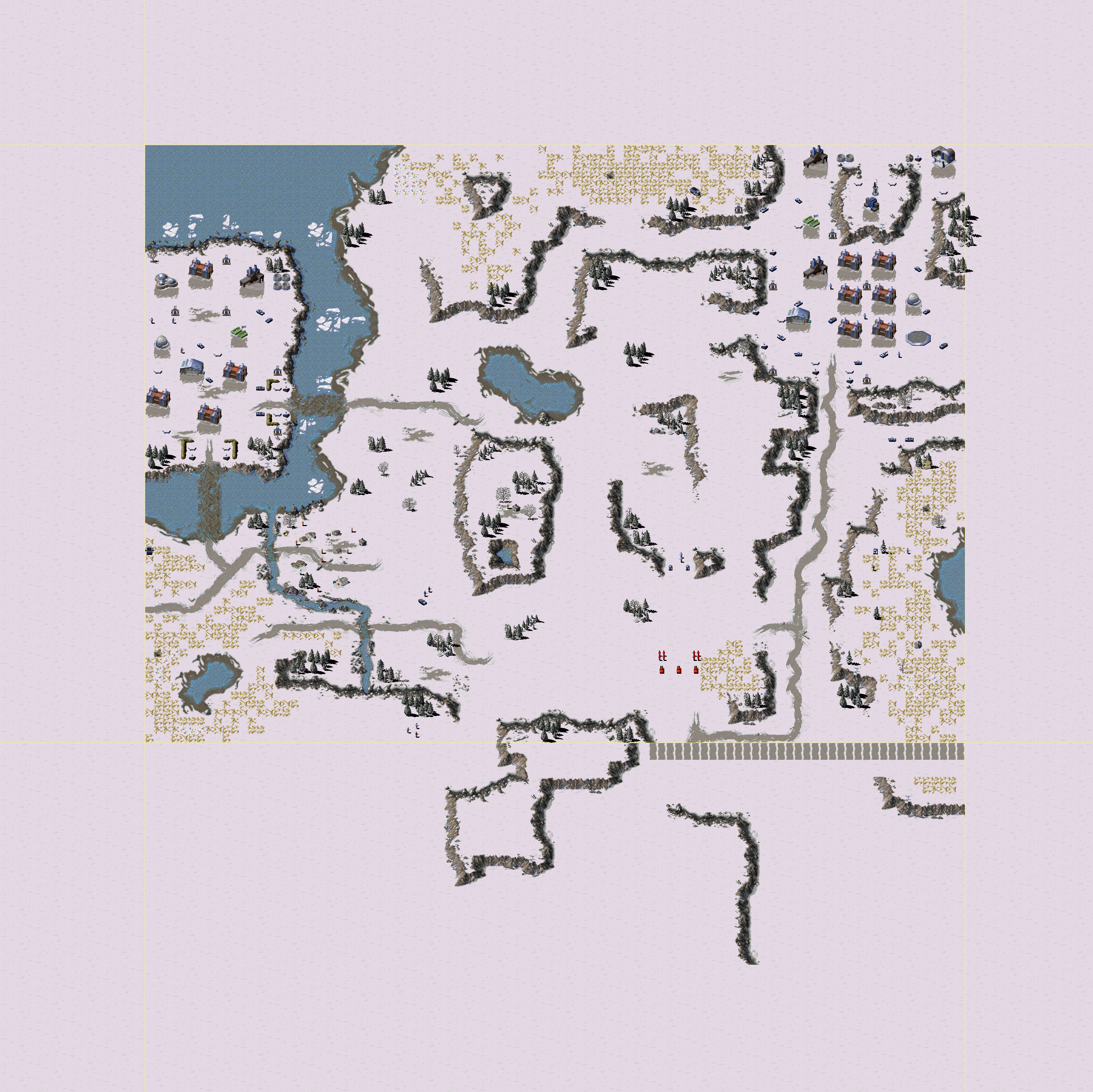

Skirmish#
Map Name |
Description |
Map |
|---|---|---|
style="text-align: center; vertical-align: auto;"; |Skirmish |
|
|
style="text-align: center; vertical-align: auto;"; |Skirmish |
|